How to backpack during the pandemic: Our 2020 High Sierra Thru-hike
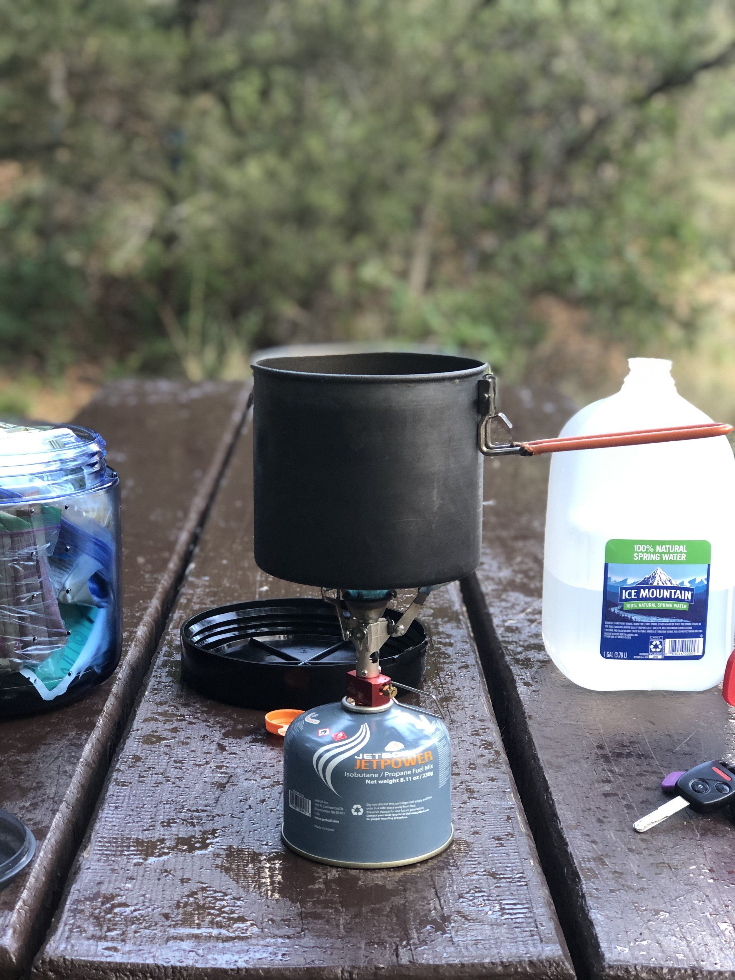
Is it possible to travel safely during a pandemic? Nate and I decided to put this question to the test, joining two friends on a bucket-list backpacking trip on the High Sierra Trail in Sequoia National Park in California. This hike has been on my list for a long time, and after successfully reserving permits in March, we spent the subsequent 5 months weighing whether or not it was responsible to go. There was the nearly 1,500 mile from CO to CA during a pandemic, the promise of the most challenging hike we've ever done during a season when all of us felt out of shape, family challenges, logistical challenges, work challenges... and then an earthquake! It felt at times like everything was conspiring against us. In the end, we prepared as much as possible, created routes that minimized our contact with the communities we passed through, and put family and work on pause for 2 weeks in the wilderness.

Getting There

For Nate and I, our trip commenced with a 10 hour drive from Golden, CO to a lovely campground just outside Beaver UT. We arrived in the dark and woke up to some drizzling rain. Before we hit the road in the AM, we enjoyed a nice walk and a little campsite yoga.
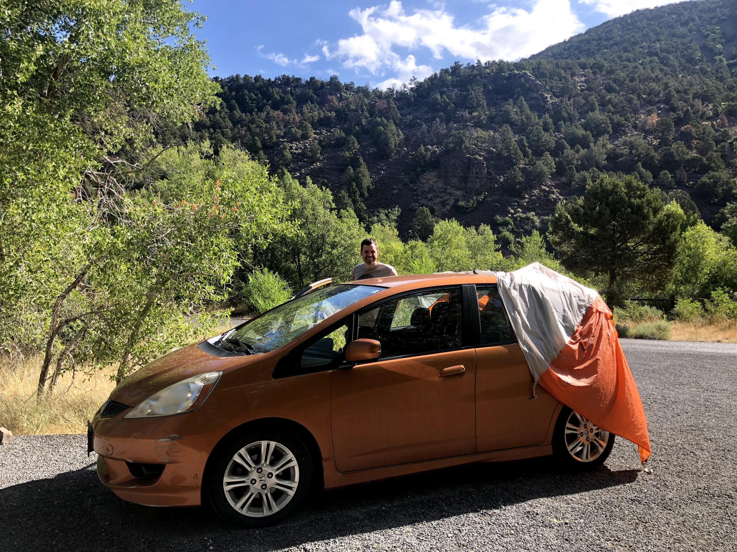
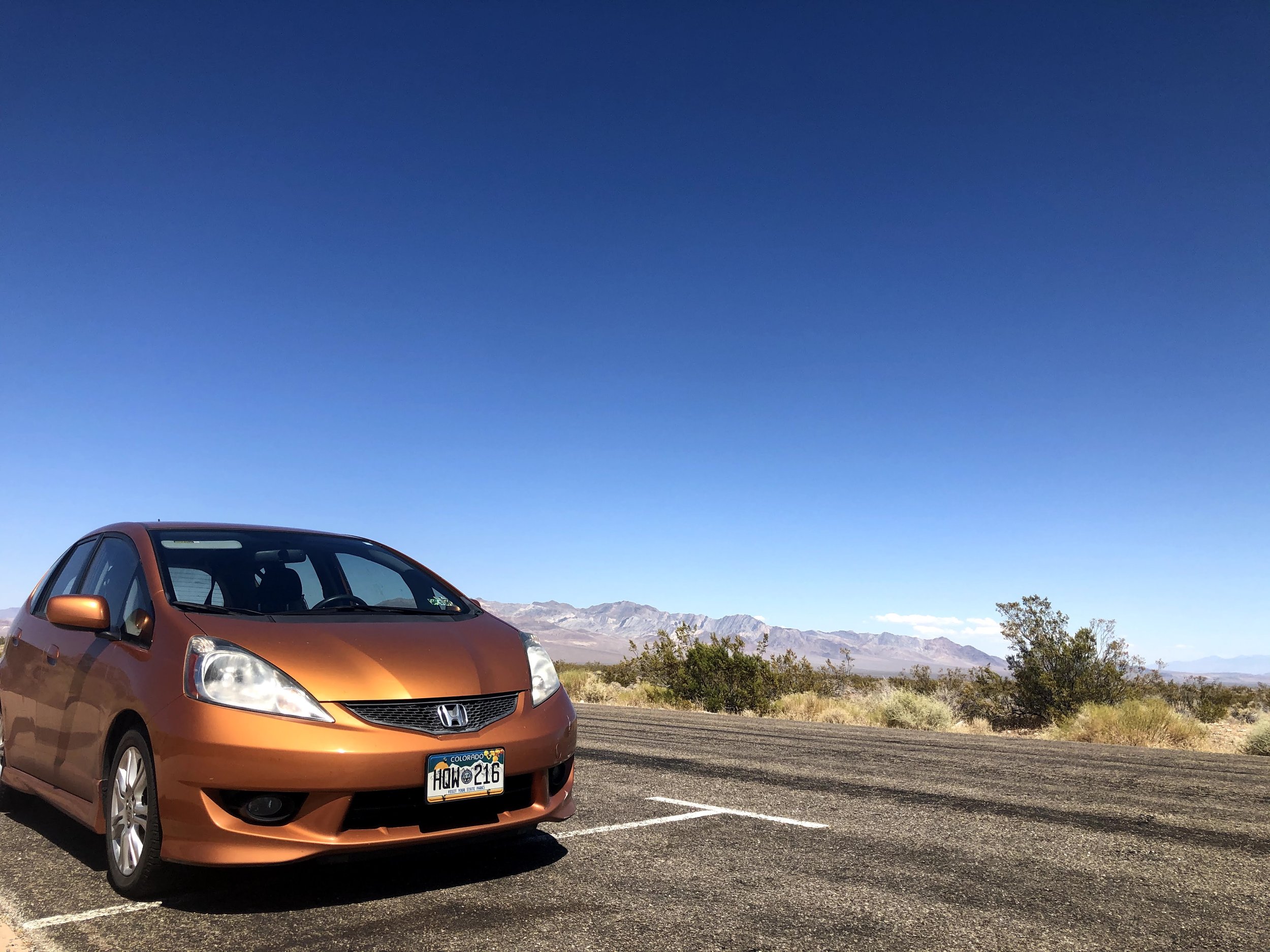
On Travel Day 2, we really put Penny (my tiny Honda Fit) through the wringer. We drove west from Beaver UT to Las Vegas and on to Death Valley. The temp was ridiculously toasty, and as we sweated our way through a stretch of the park where it was suggested that we keep our AC off, we swore that if we passed this way coming home we'd disregard the warning.
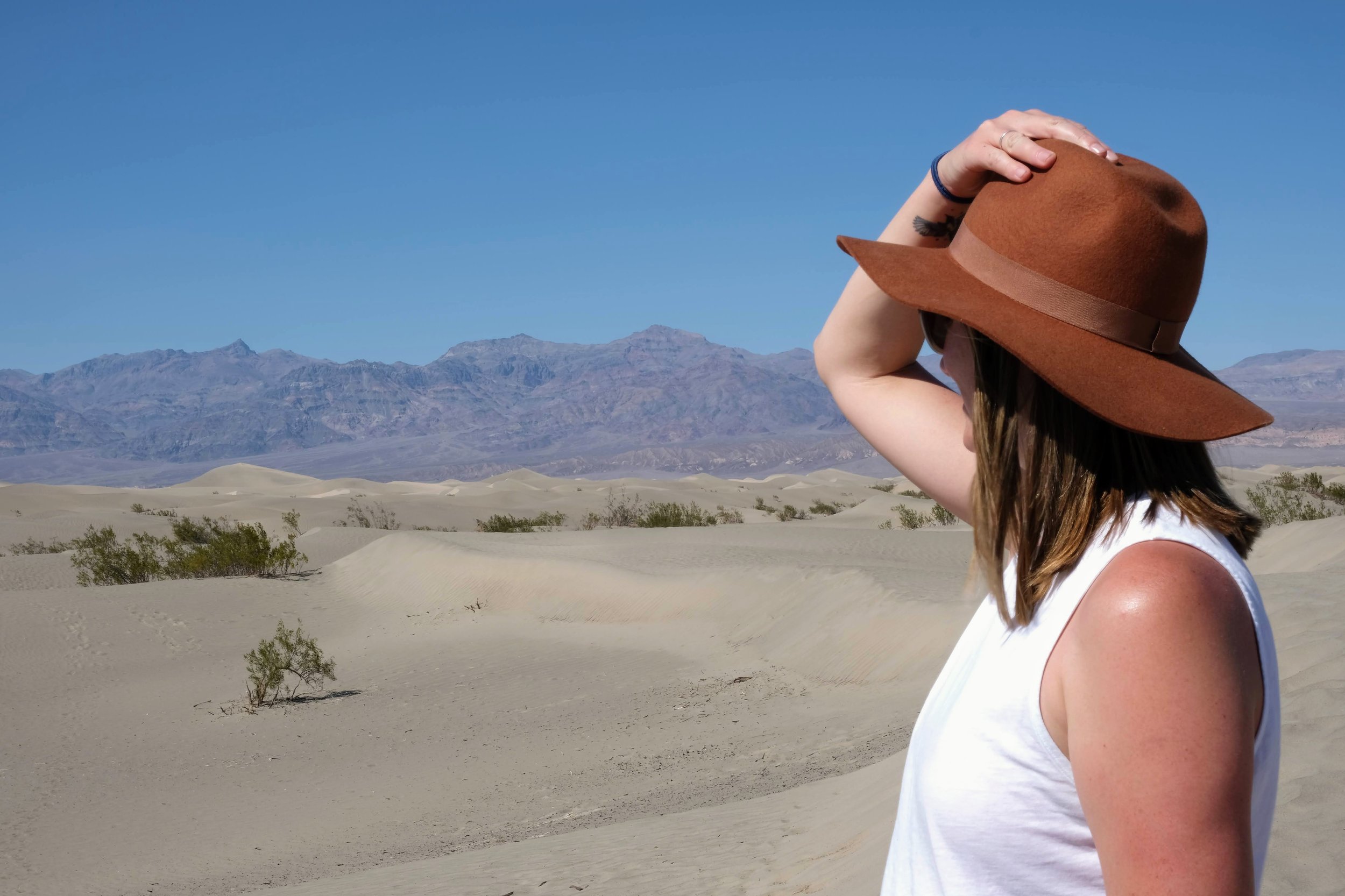
When we drove into Lone Pine, I thought I spotted a peak that looked like Whitney on the horizon. Sure enough, it was! I was so excited to get to see the place where we'd finish our hike... and even more so when I realized we were going to camp right at the base! But the highlight of the evening came during dinner when Nate nonchalantly announced, "There's a bear over there," and pointed to the bear that was half-way in Jon's Honda Fit, looking for snacks. Luckily, no Fits or bears were harmed in the making of this story-the food had been safely stowed in the bear lockers and the bear ran off without much of a fuss.
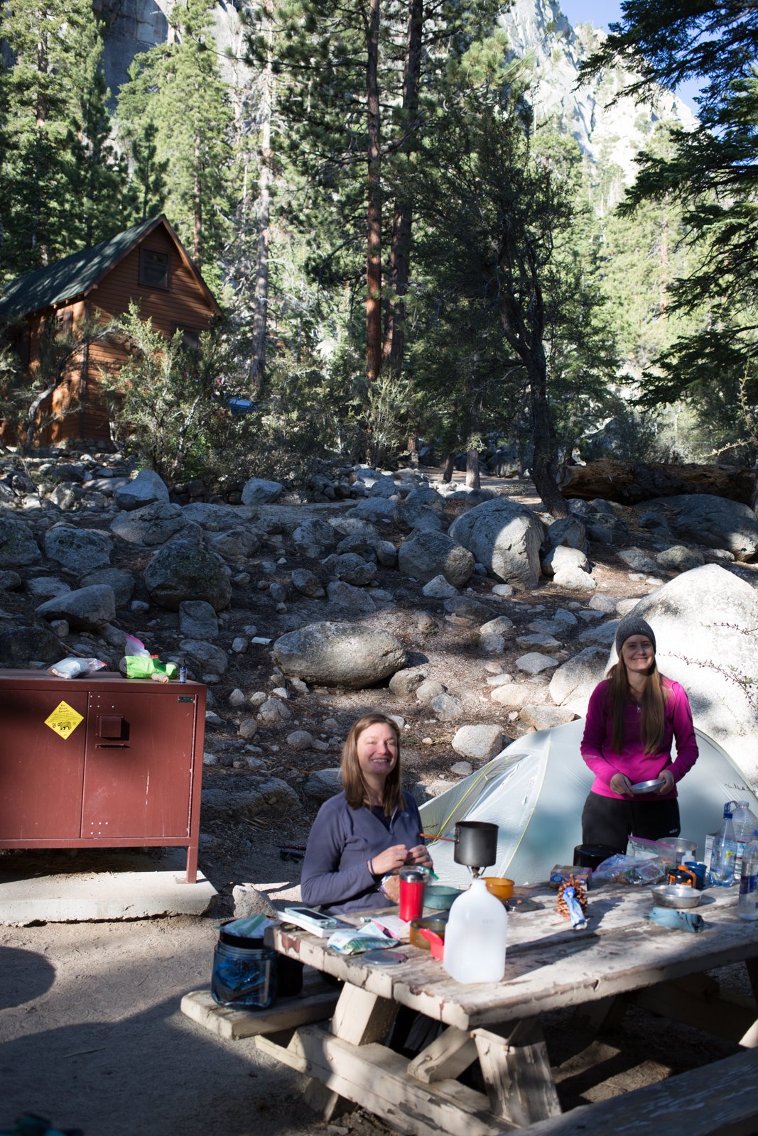
The morning of our 3rd day, we left my car at Whitney Portal and headed for the western side Kings Canyon National Park with the other car. We camped at Upper Stony Creek Campground, just a short drive from the Crescent Meadows TH where we’d start our hike the next day.
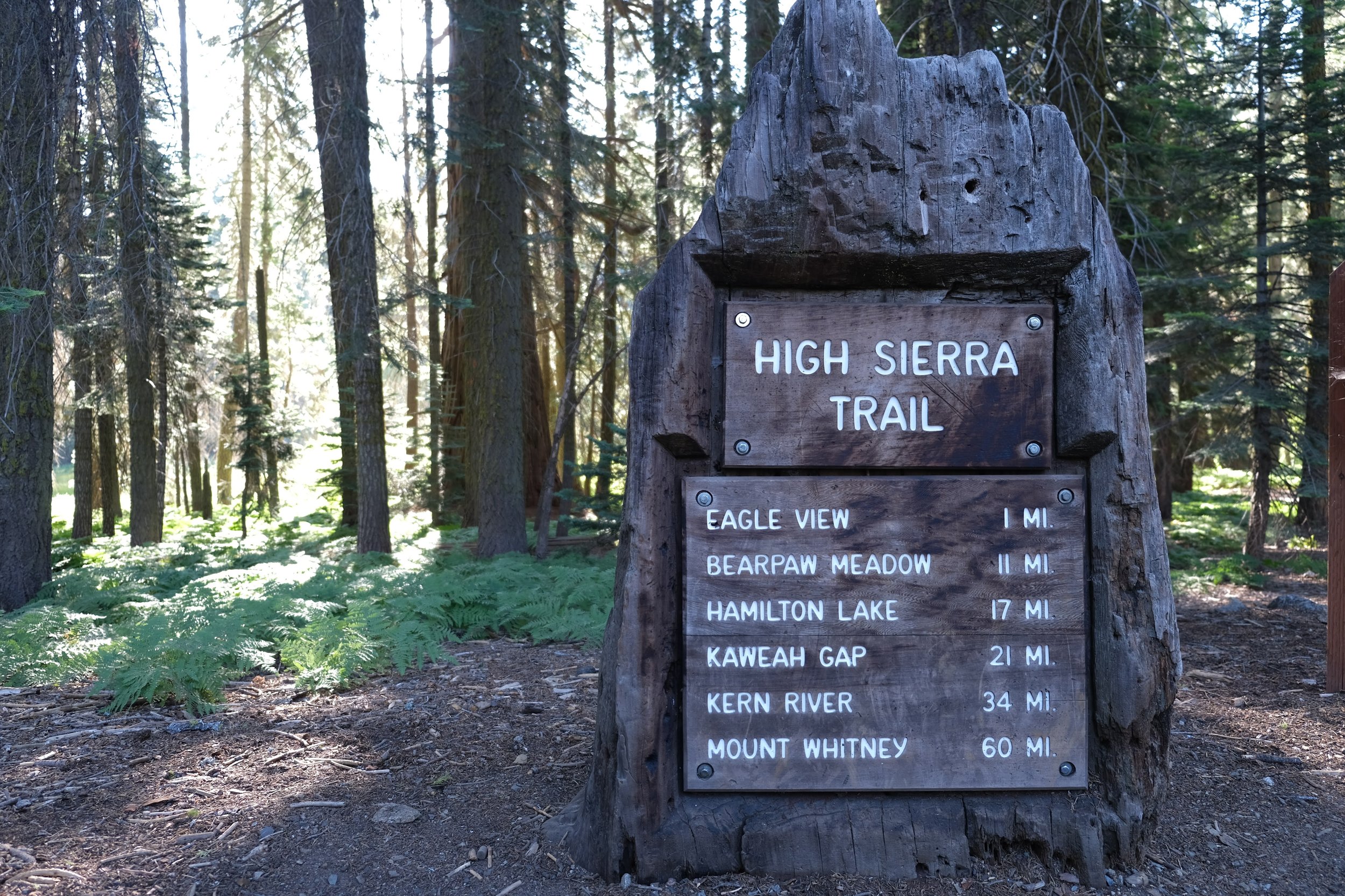
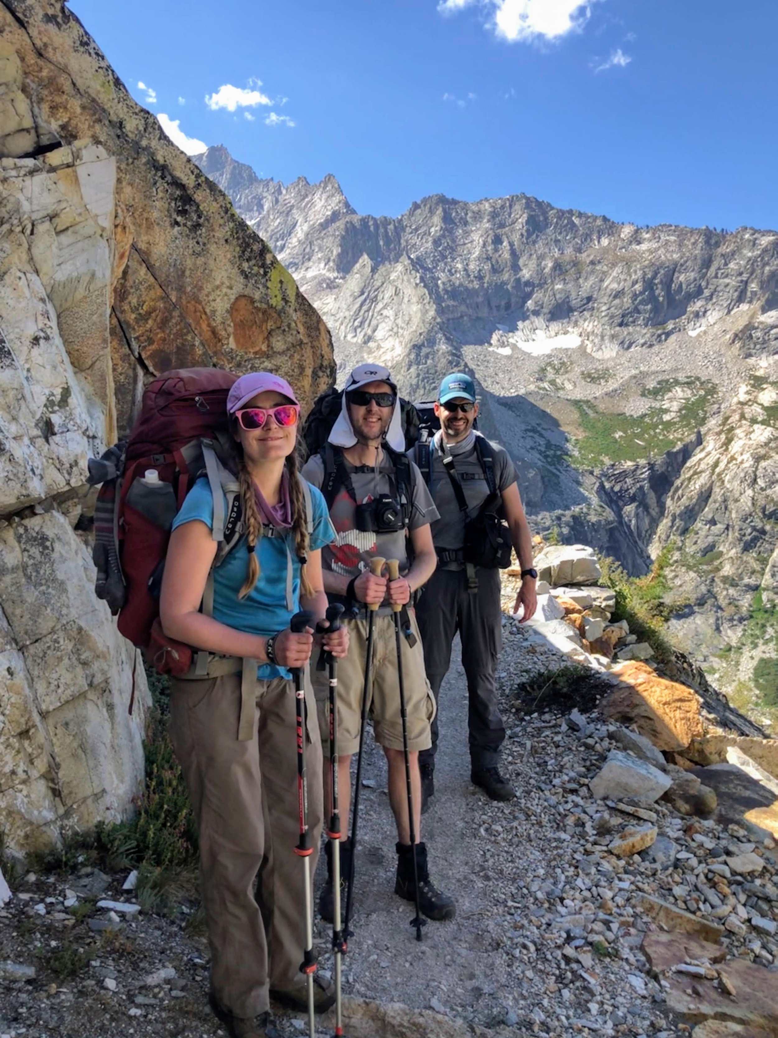
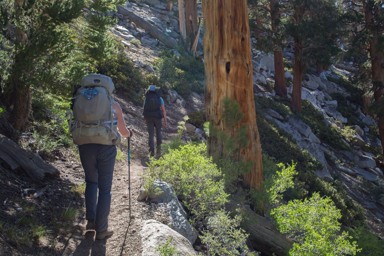
HST: Day 1 (Crescent Meadows to Nine Mile Creek)
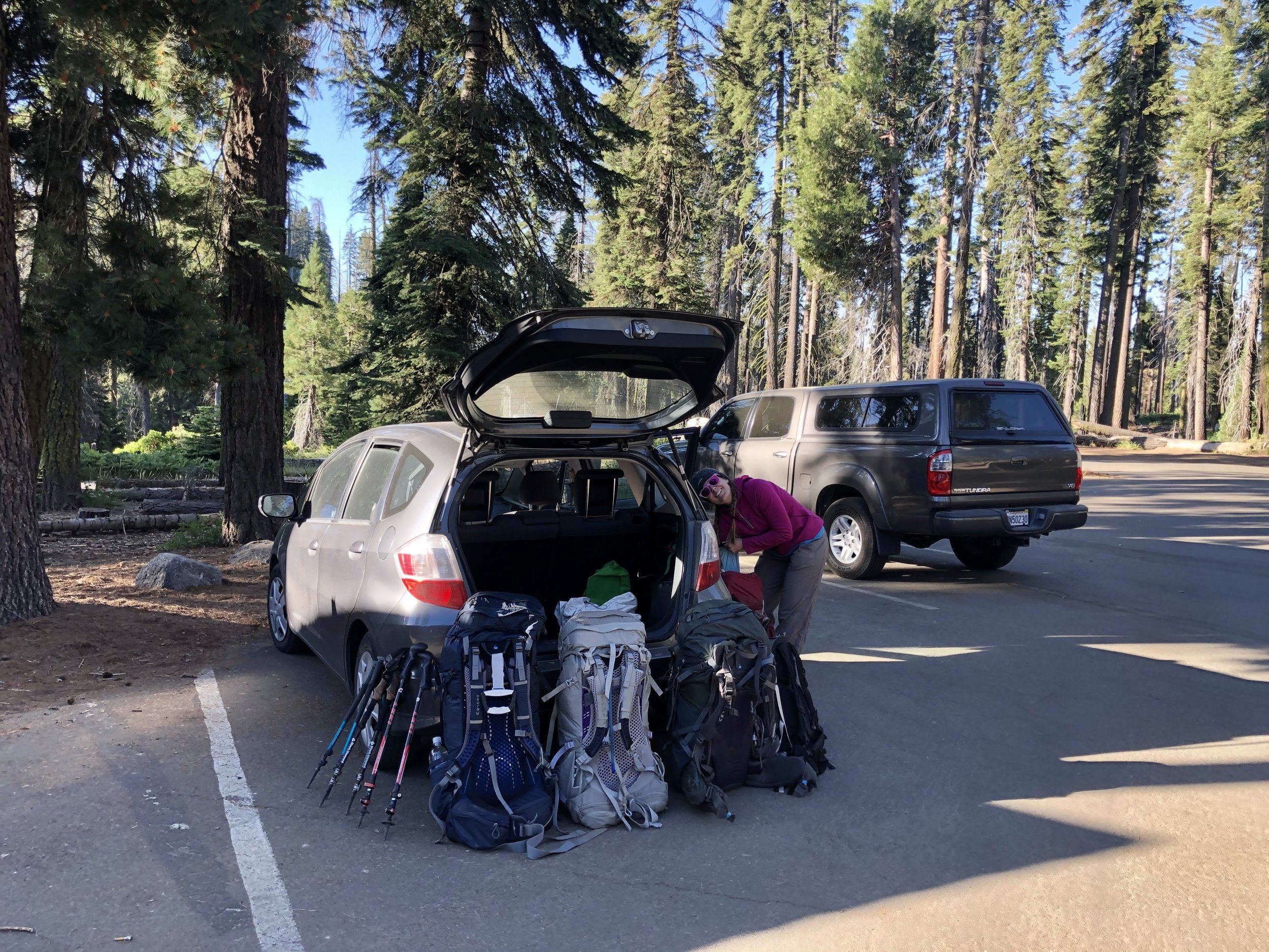
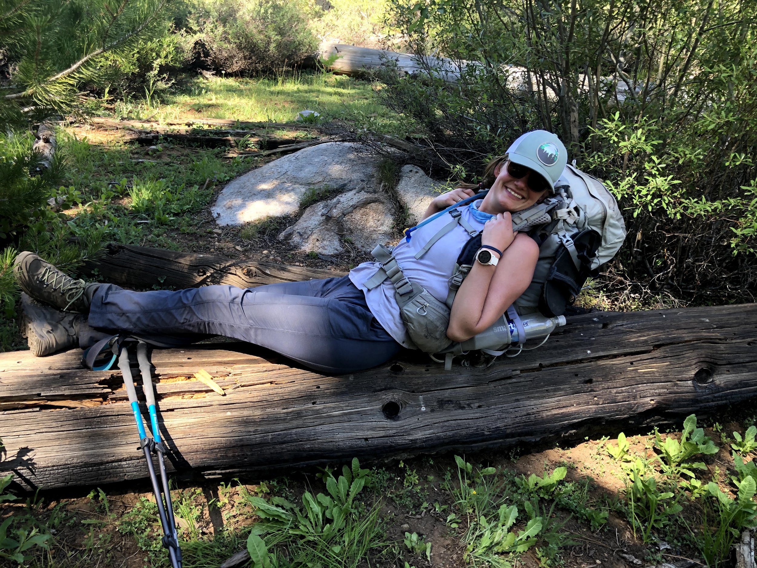
On July 25, we awoke bright and early after a rough night's sleep (our campground neighbors had a bit of a barn burner the night before), and drove to the trailhead at Crescent Meadows. After a quick breakfast, pack check and weigh-in, and bathroom break we were off!
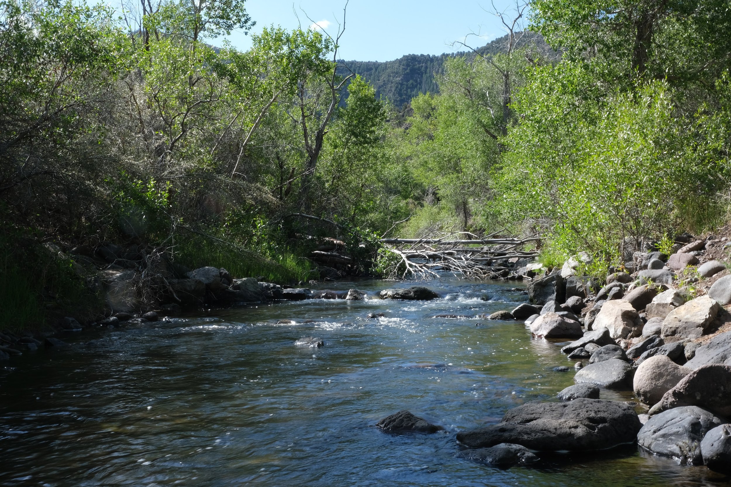
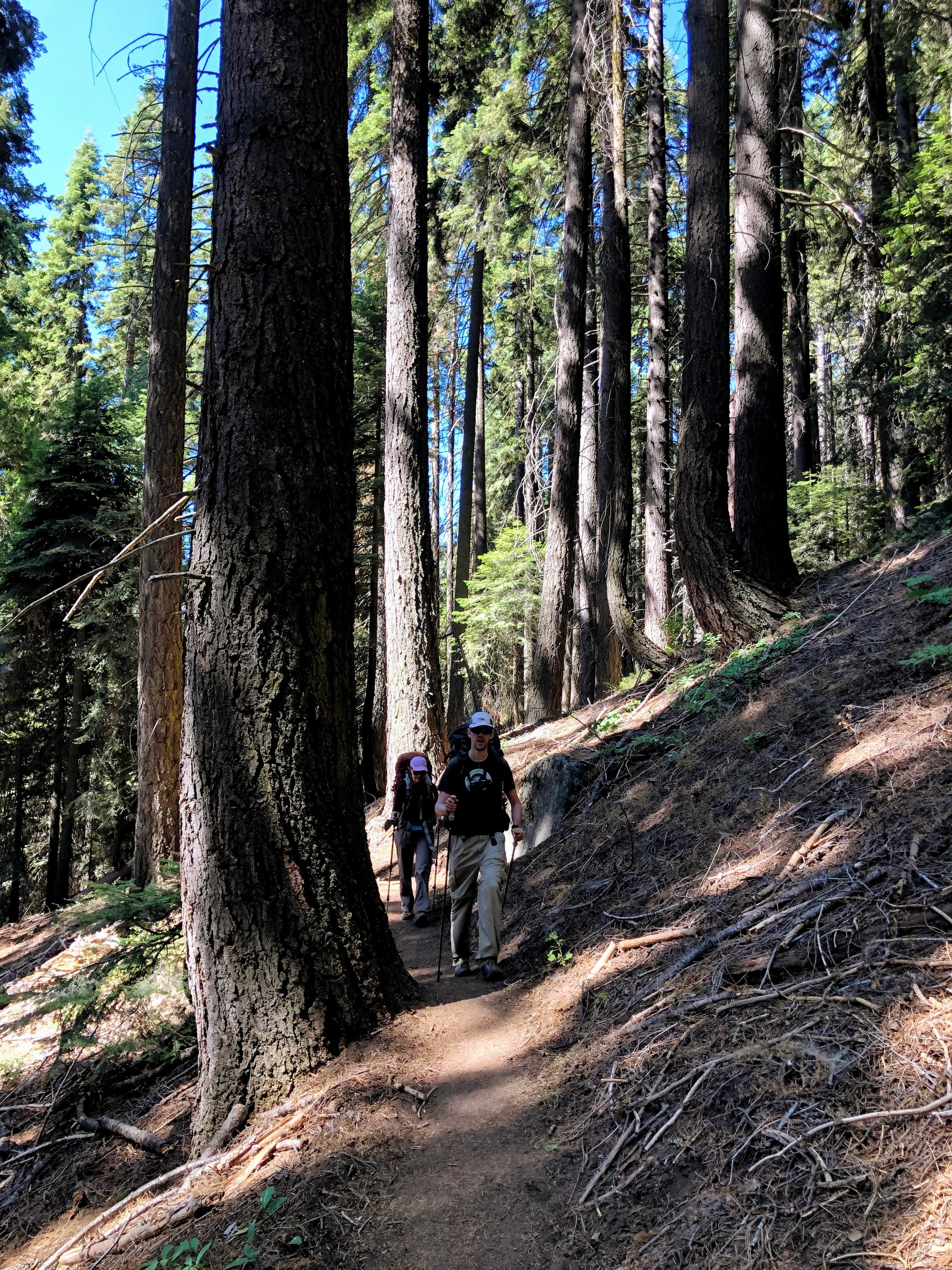
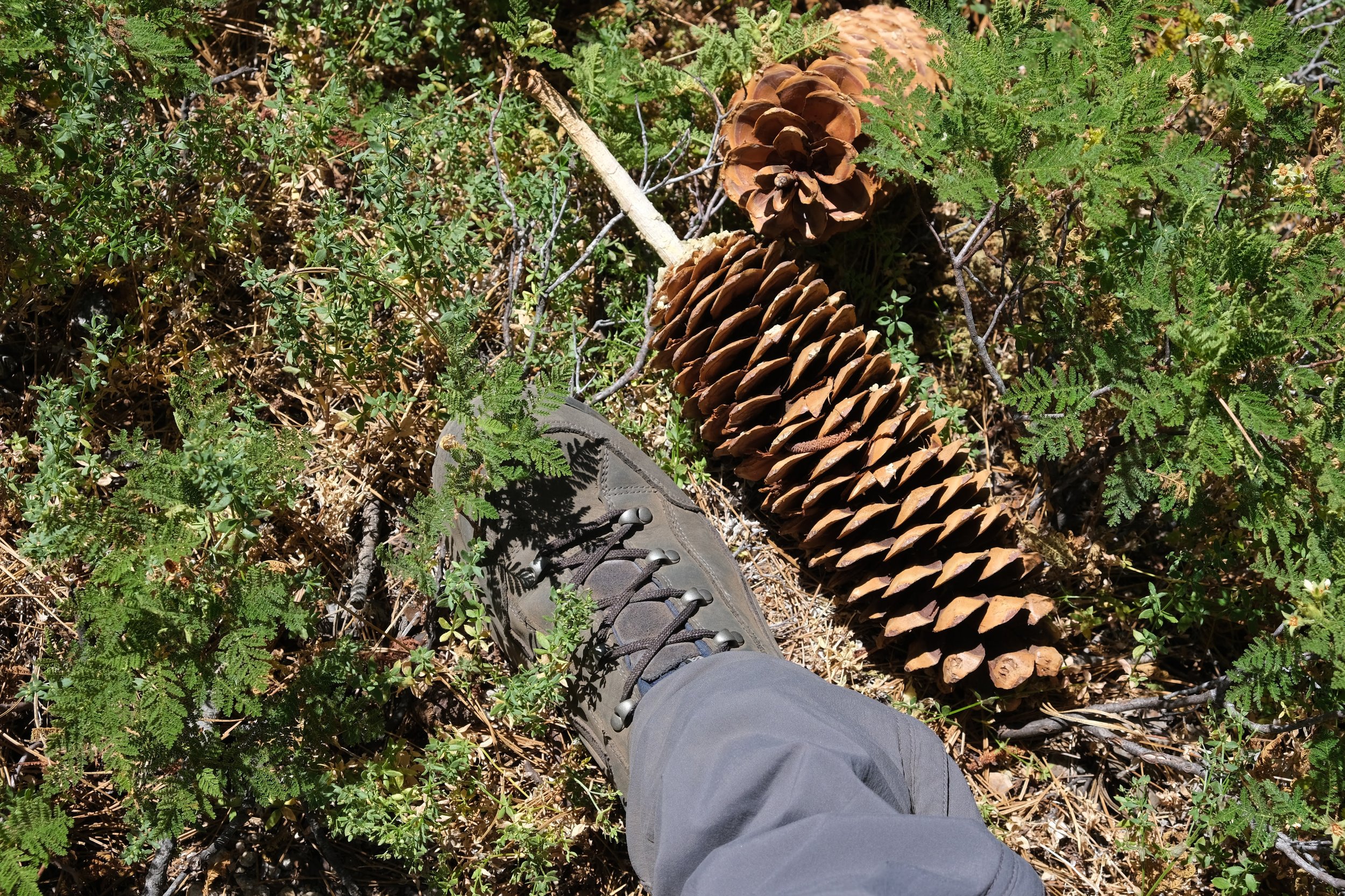
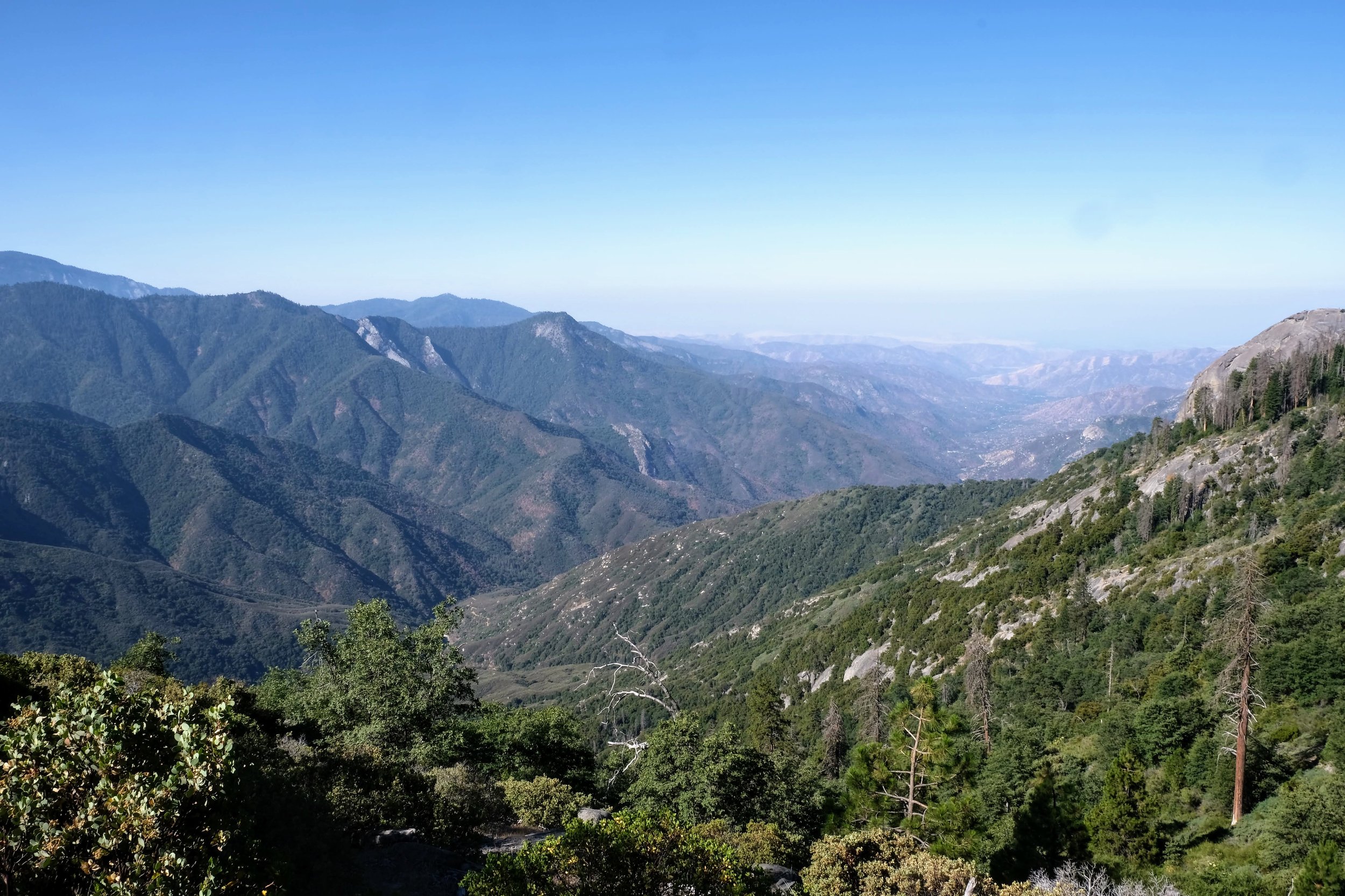
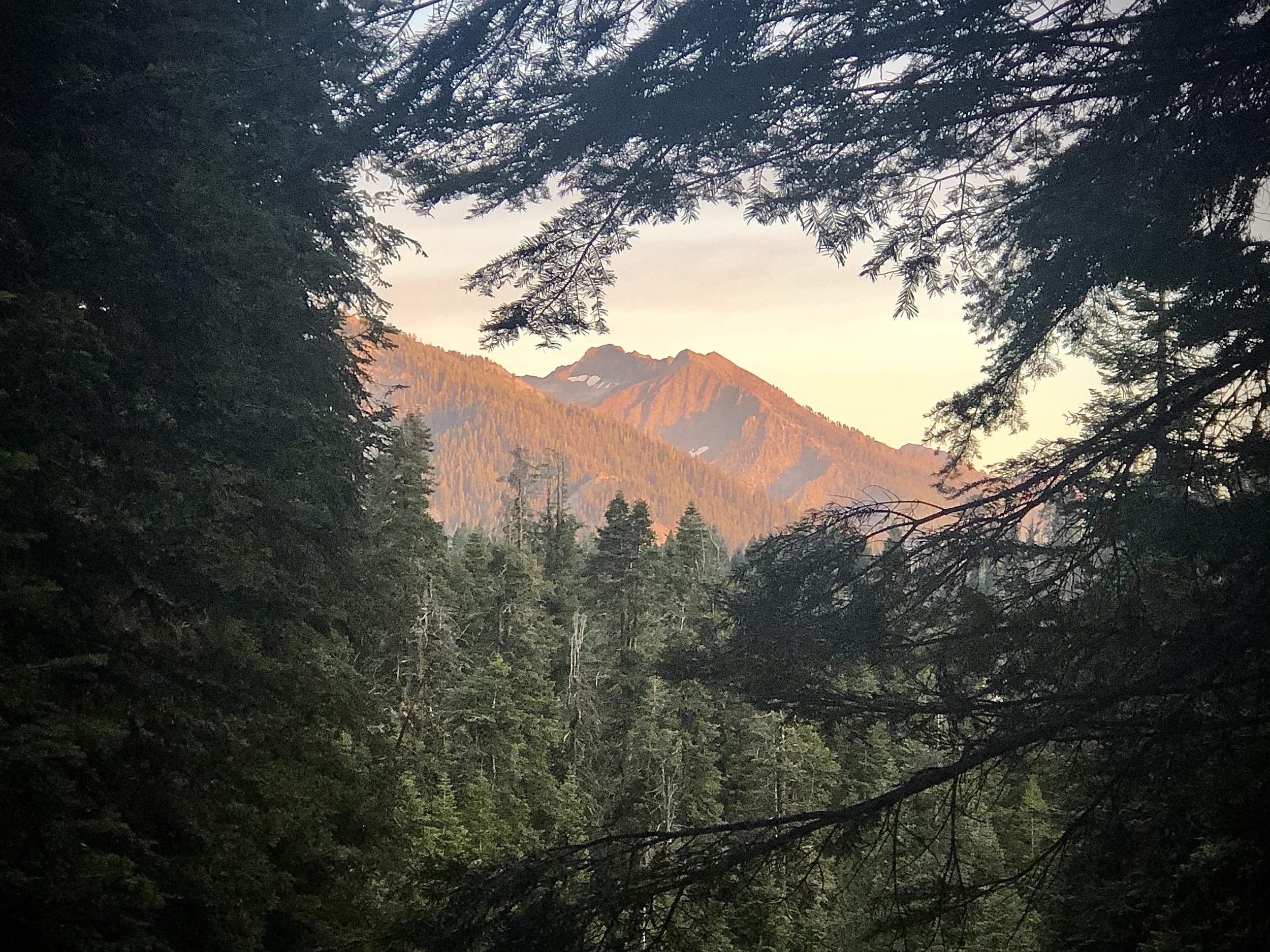
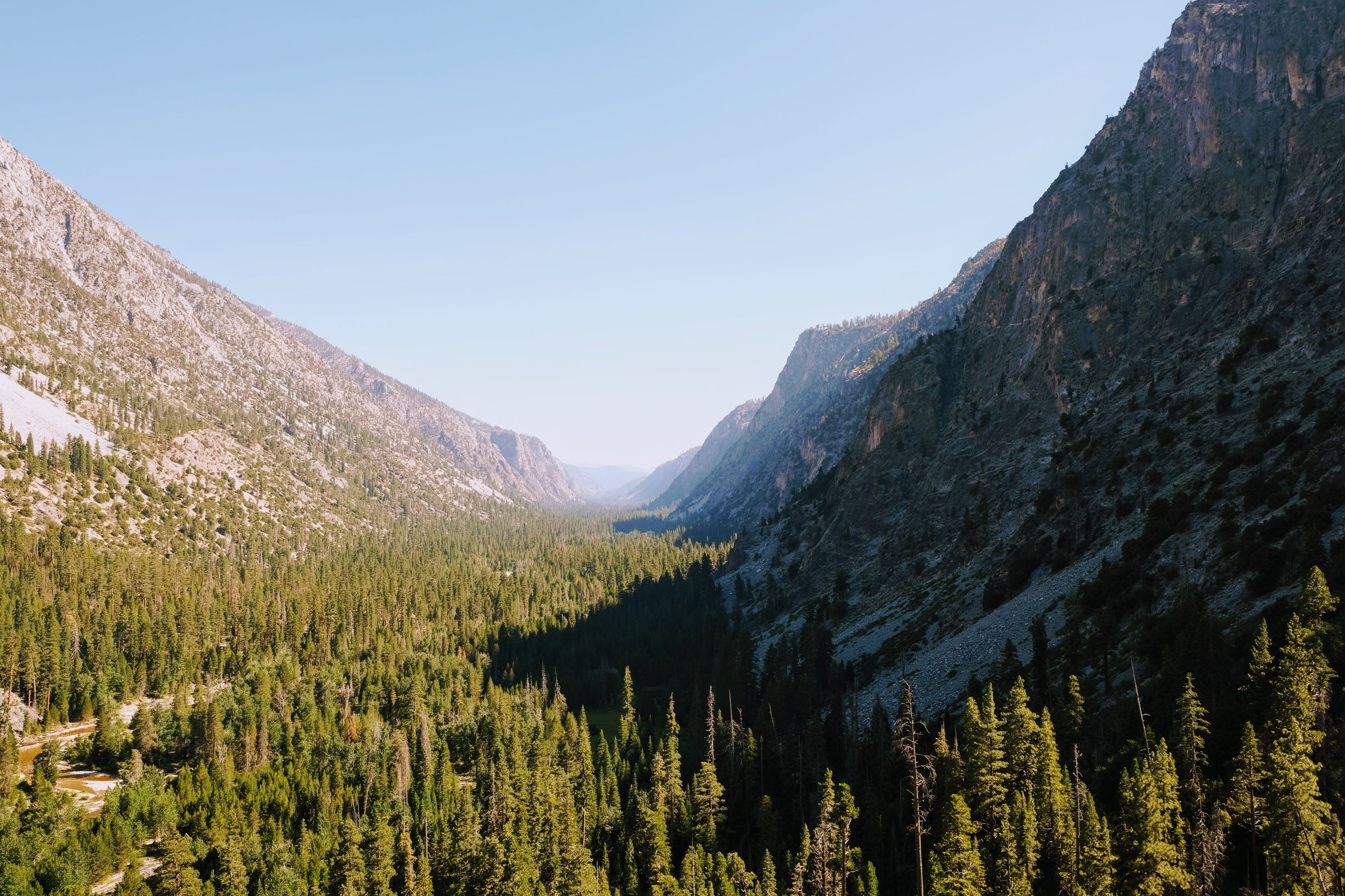
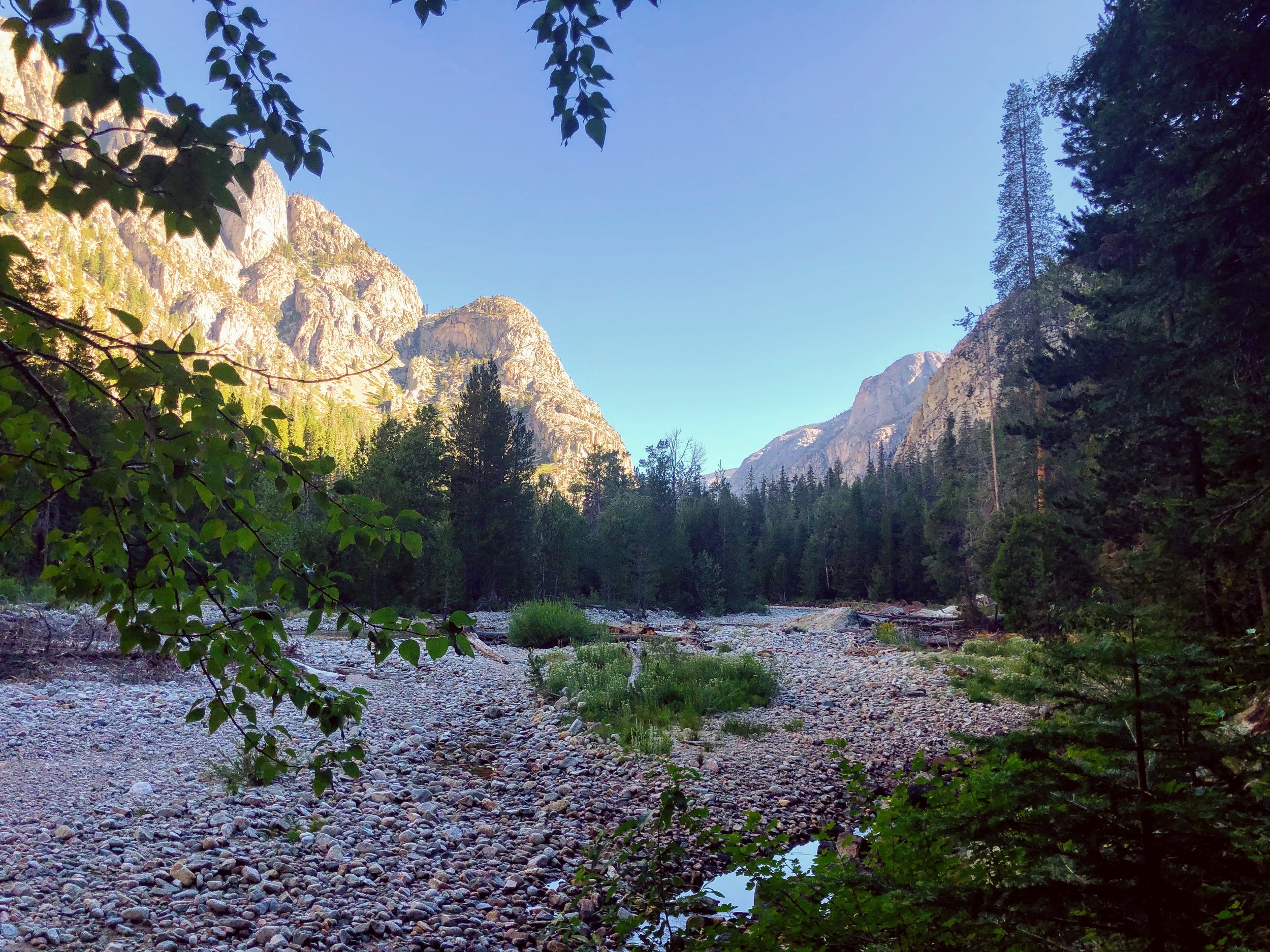
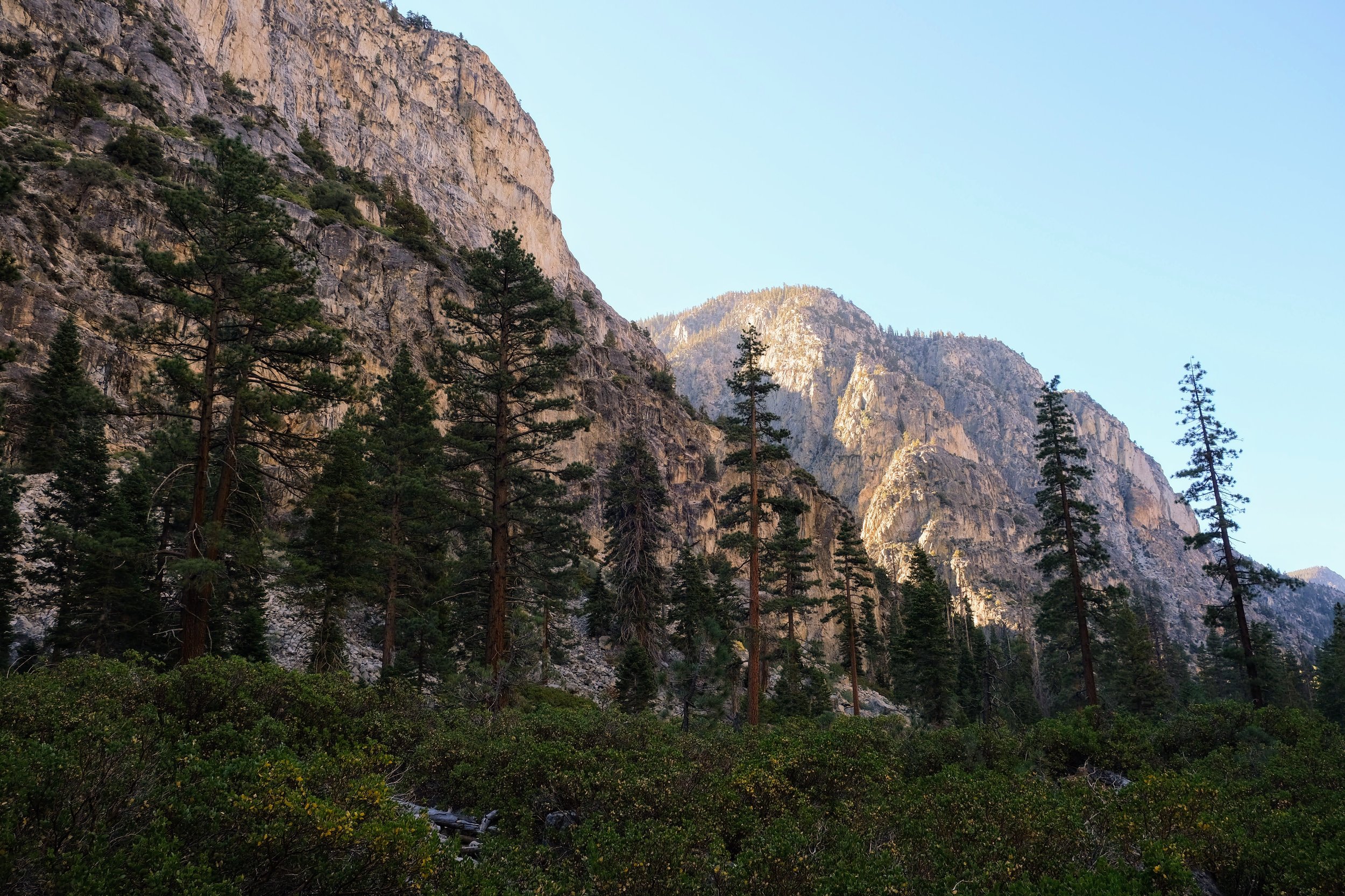
The trail began in a, dare I say it, majestic grove of giant sequoias. After a brief climb, we emerged from the trees onto a ridge with sweeping views of the valley. We all were impressed by how manicured the trail was... none of those roots from West Coast Trail or rocky scree that we'd encountered in the Tetons... and how huge the pinecones were! My favorite spot of the day was a beautiful wildflower oasis nestled in a small waterfall running down the valley wall across our path.

6.5 miles into our day, we arrived at Mehrten Creek, the first campsite on the trail. Although we were feeling great and had no intention of stopping for the night, we'd expected to see obvious spots to toss a tent. Instead, all we saw was a flat white rocky outcropping. We realized as we hiked through that the camp spots were off the trail, up a steep embankment.
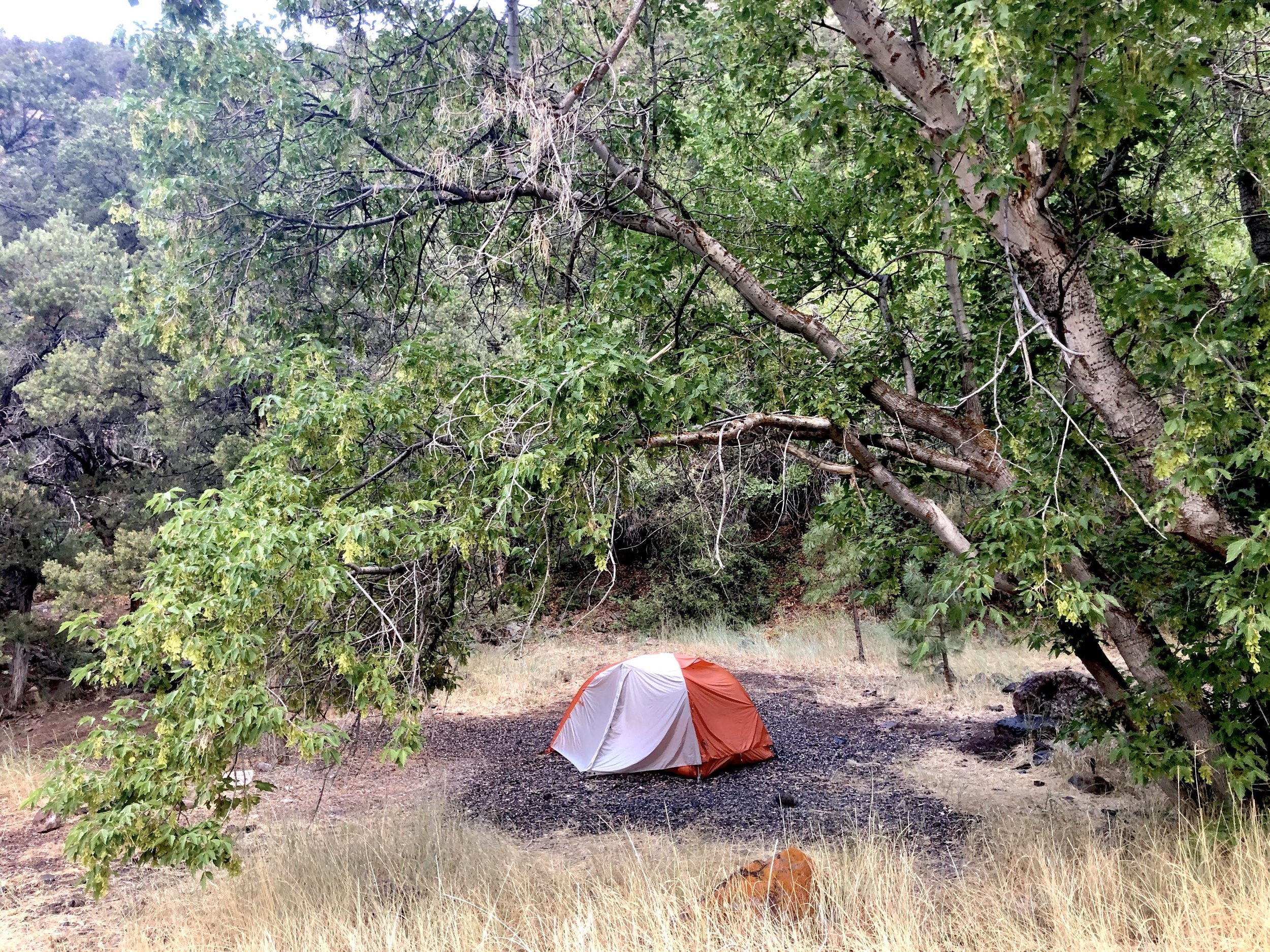
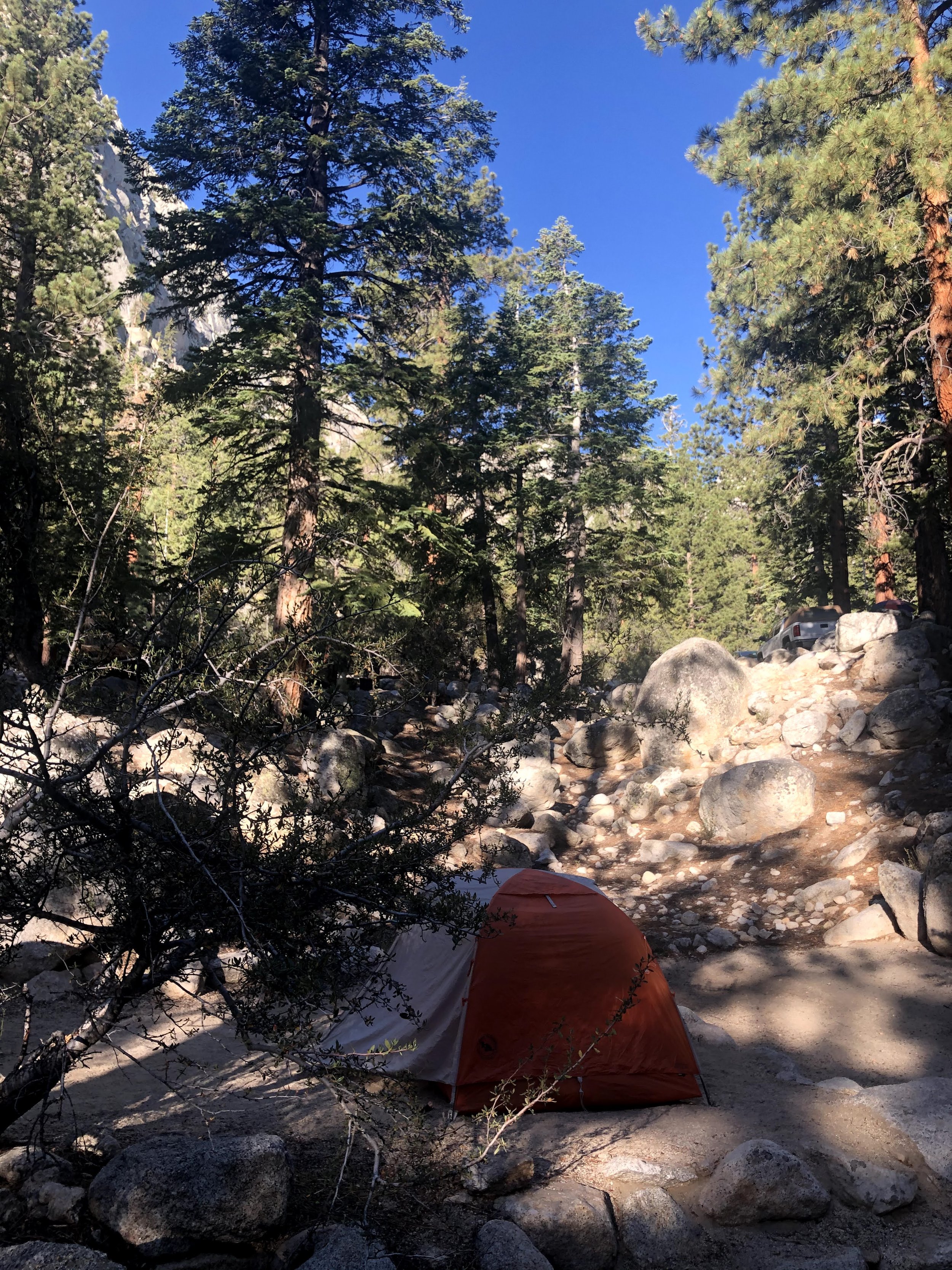
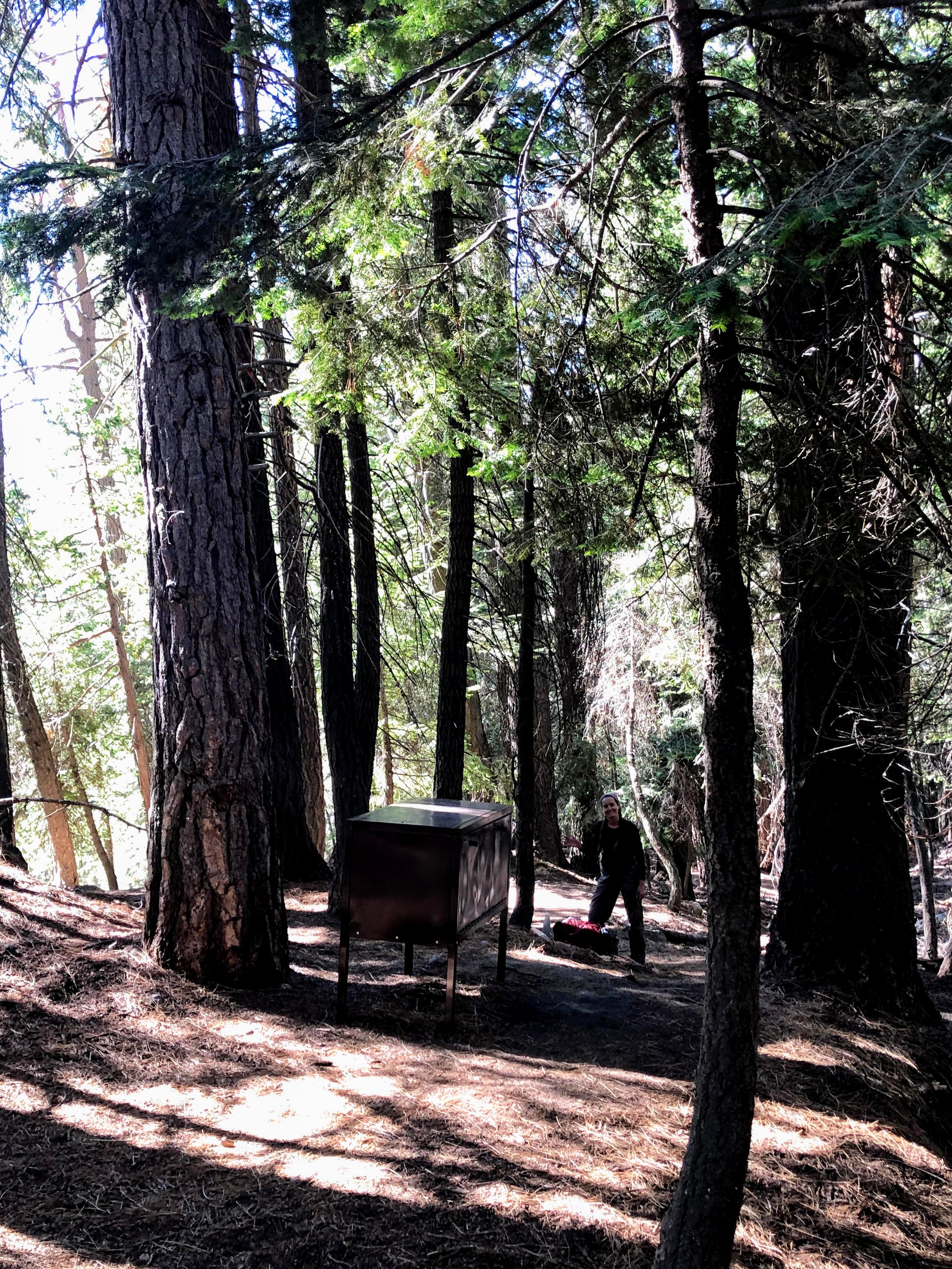
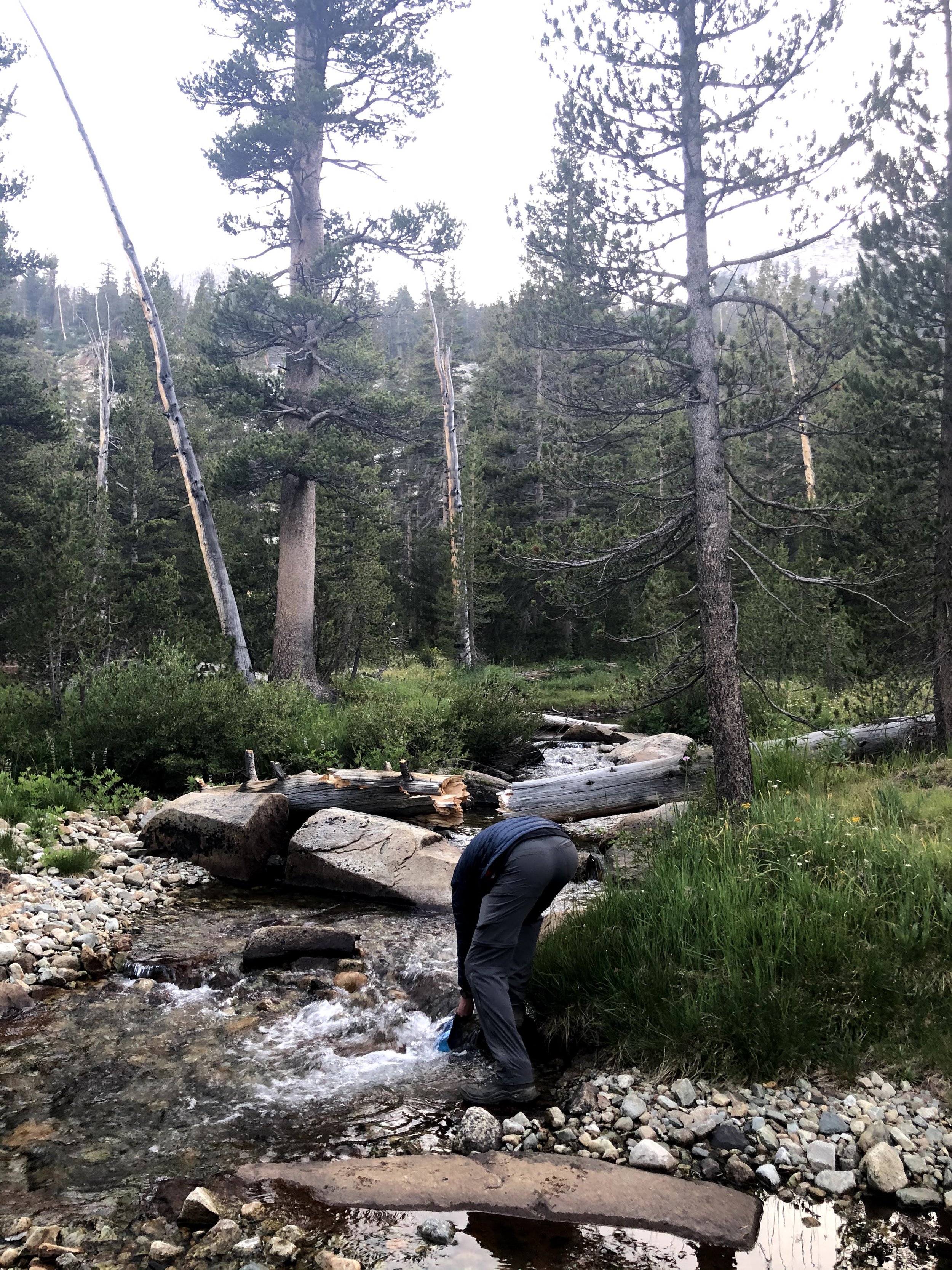
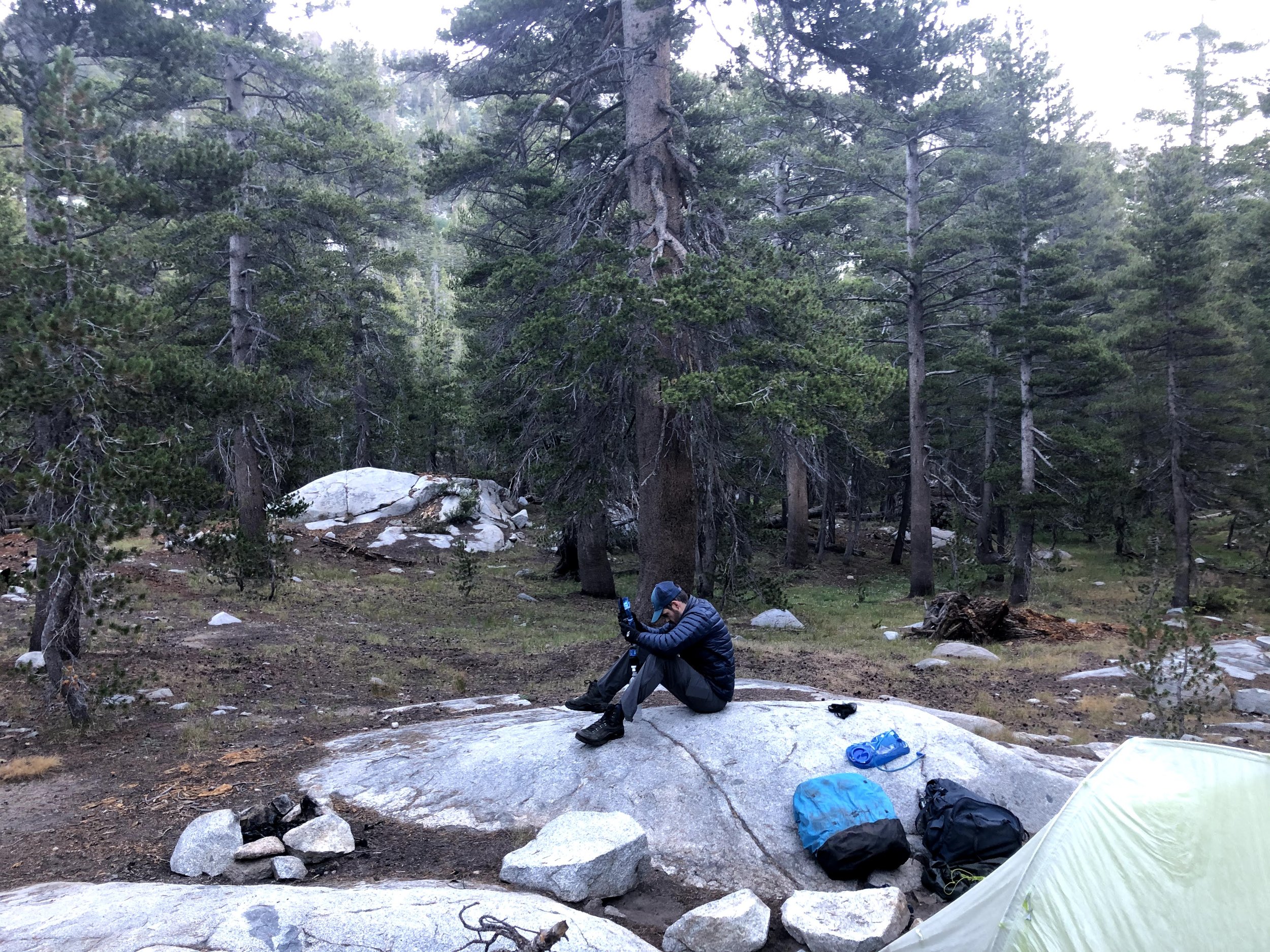
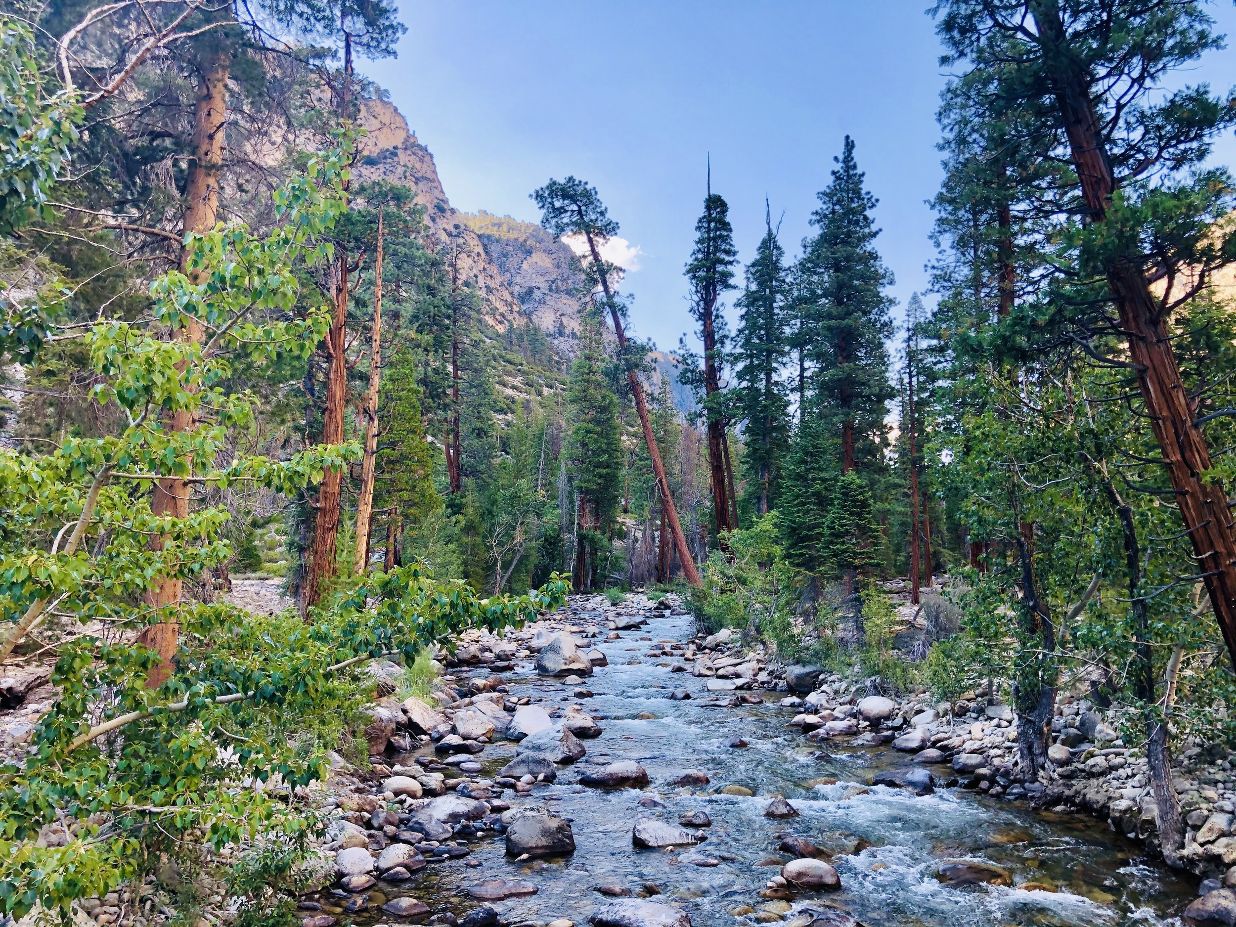
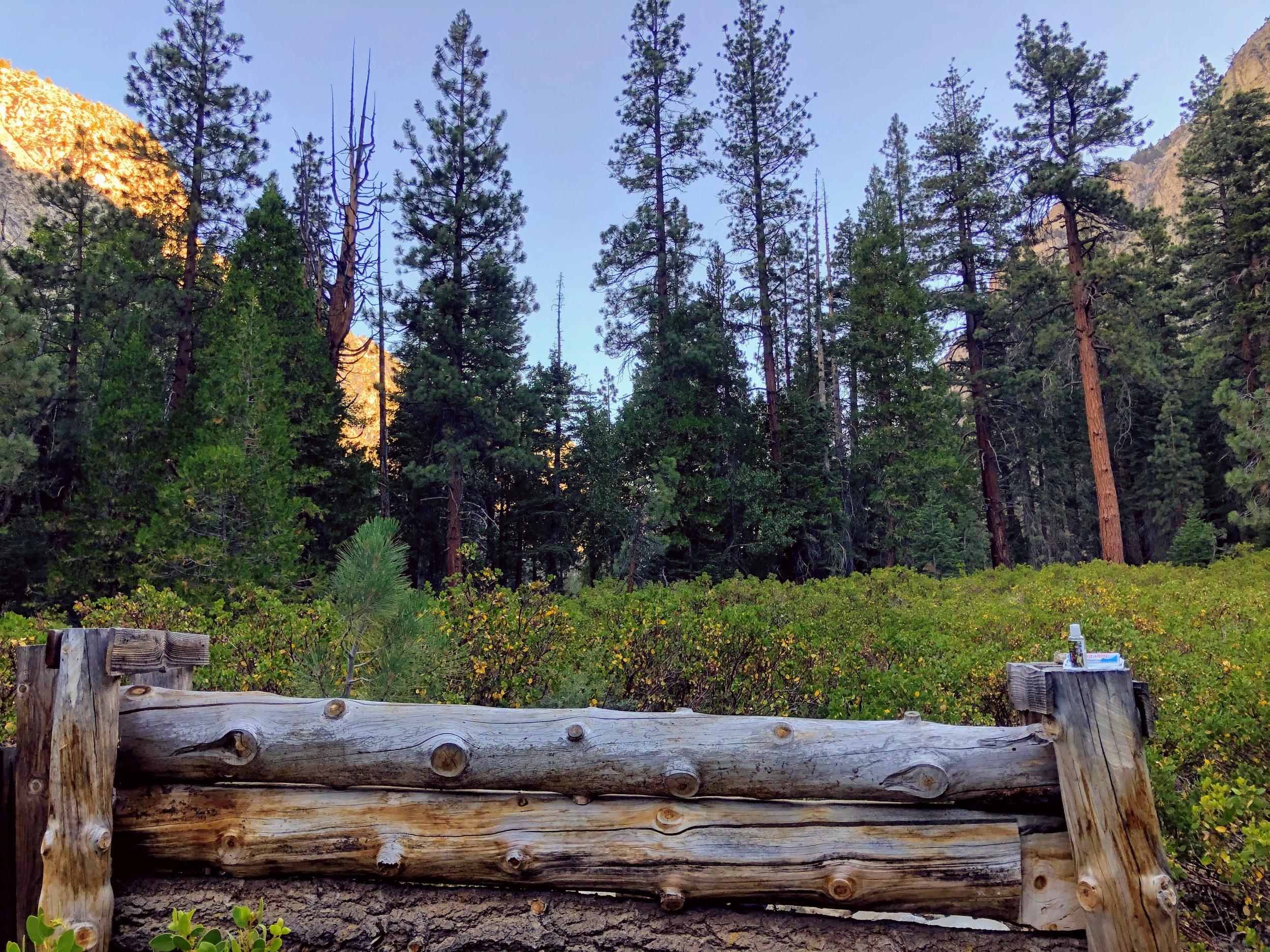
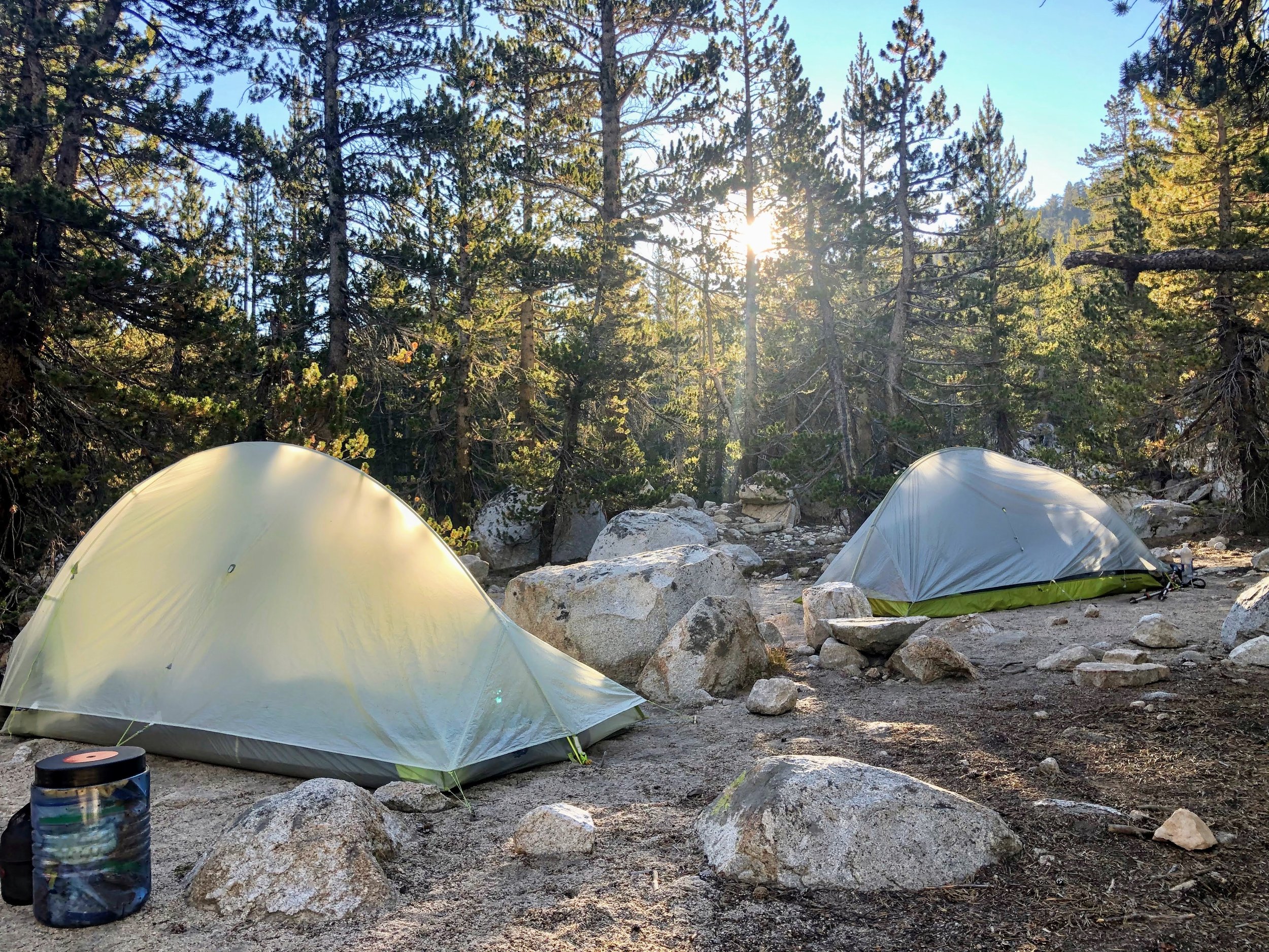
At around 4:30, we pulled into 9 Mile Creek, our forecasted destination for the night. Just before we arrived, we'd received a tip from some passing hikers that there was a more scenic camp spot 1.5 miles further up the trail at Buck Creek, but when we hit 9 Mile, we were starting to feel it. We were also starting to hear it... rolling thunder in the distance told us that a storm was approaching, and we opted to pitch camp and wait it out in the tree cover of 9 Mile rather than risking more exposure at Buck Creek. We pitched our tents quickly, and climbed in just as the rain began. By 6ish, when the thunder had moved on and the rain diminished to a trickle, we climbed back out to make dinner, filter water, and enjoy the sunset from our private creekside vantage point.

Our elevation gain for Day 1
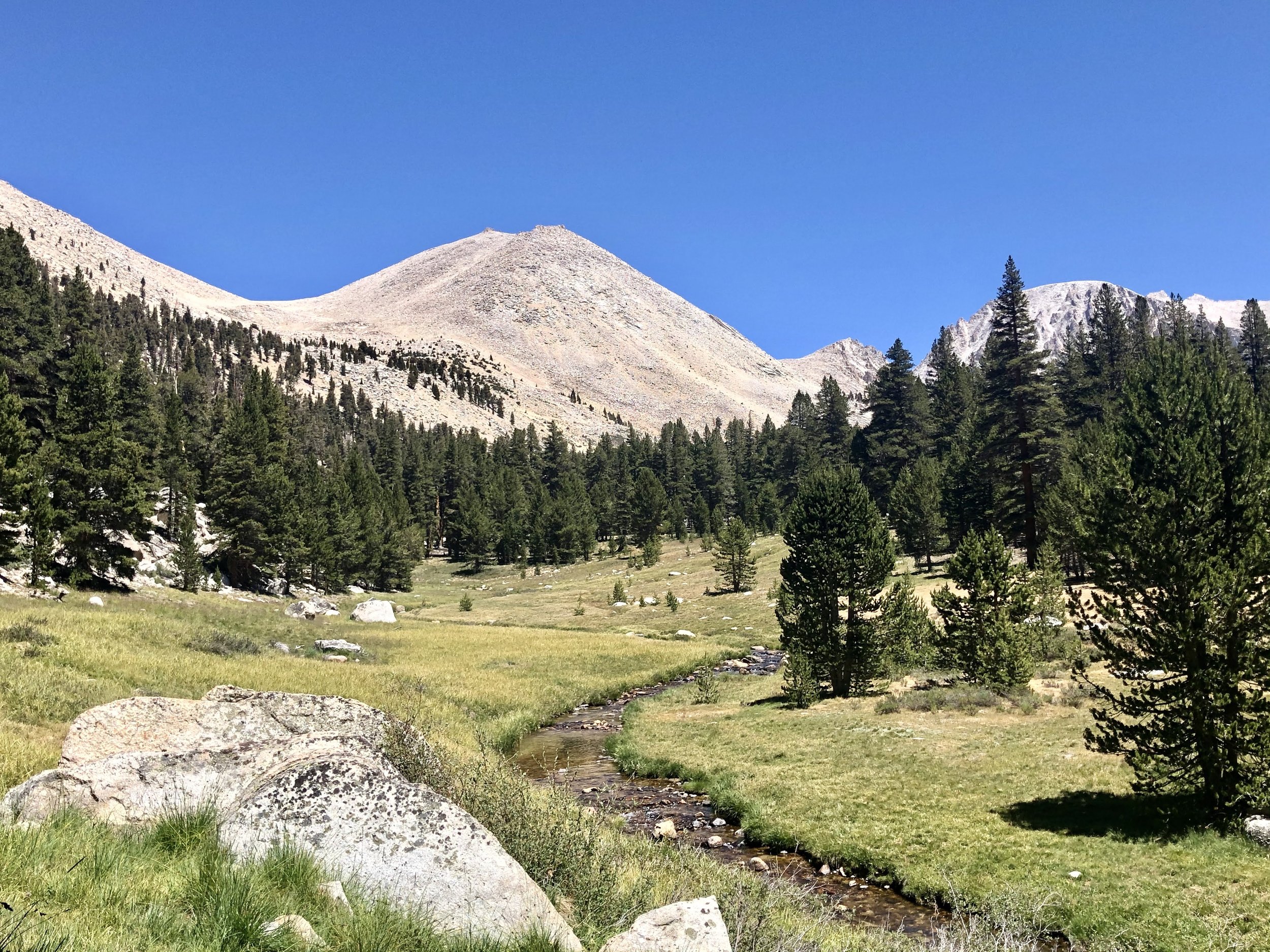
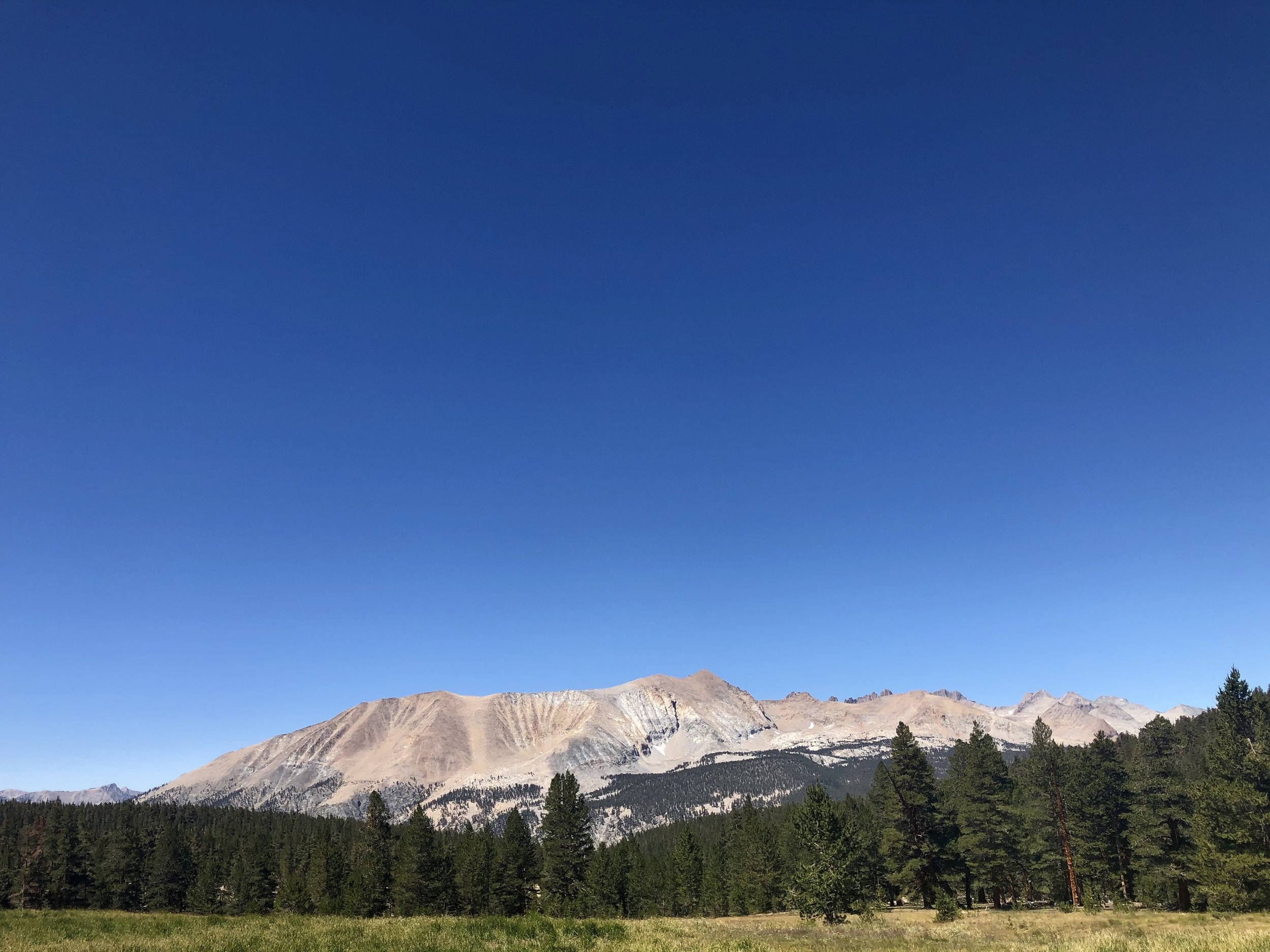
Day 2: Nine Mile Creek to Hamilton Lakes

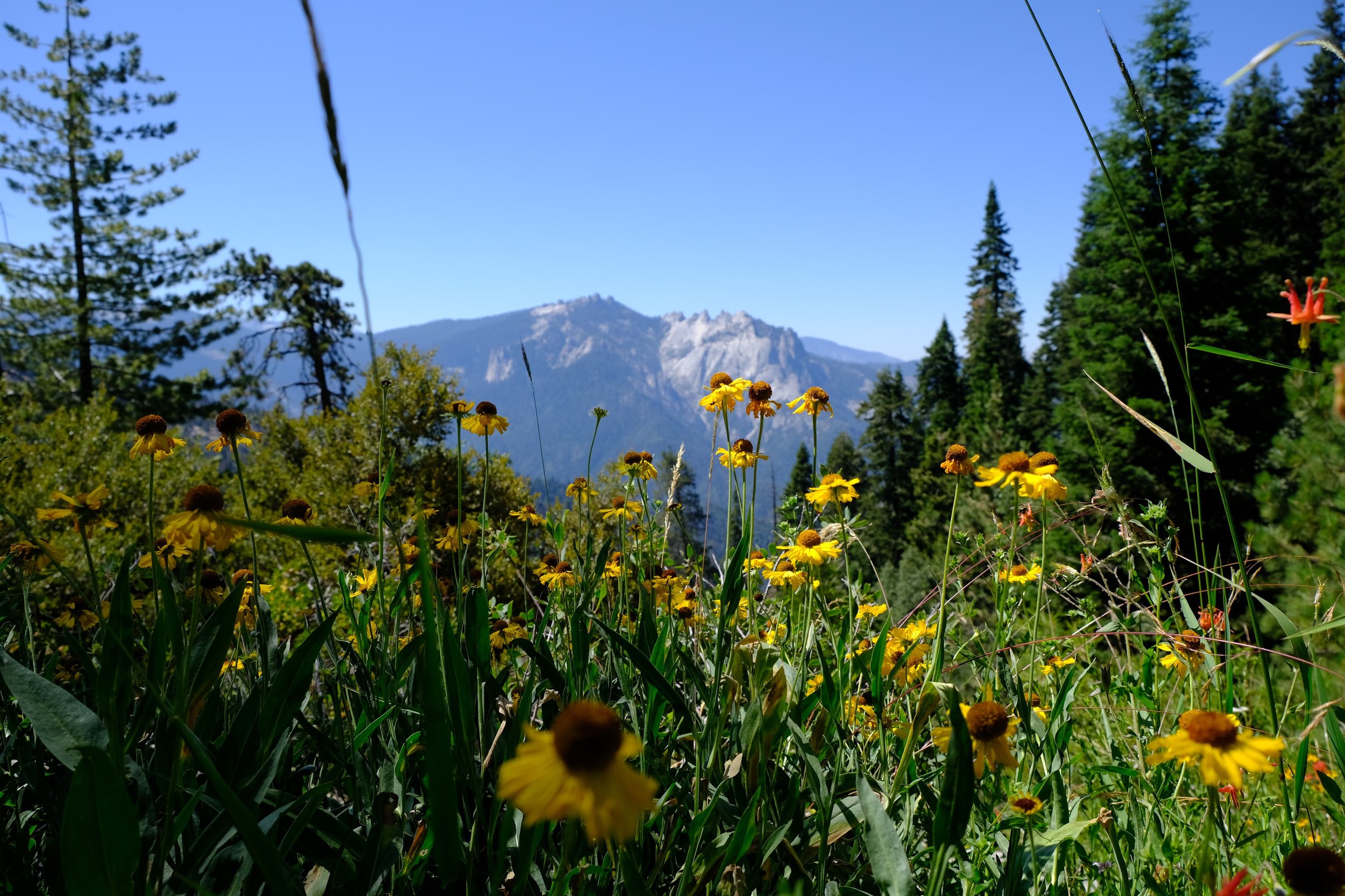
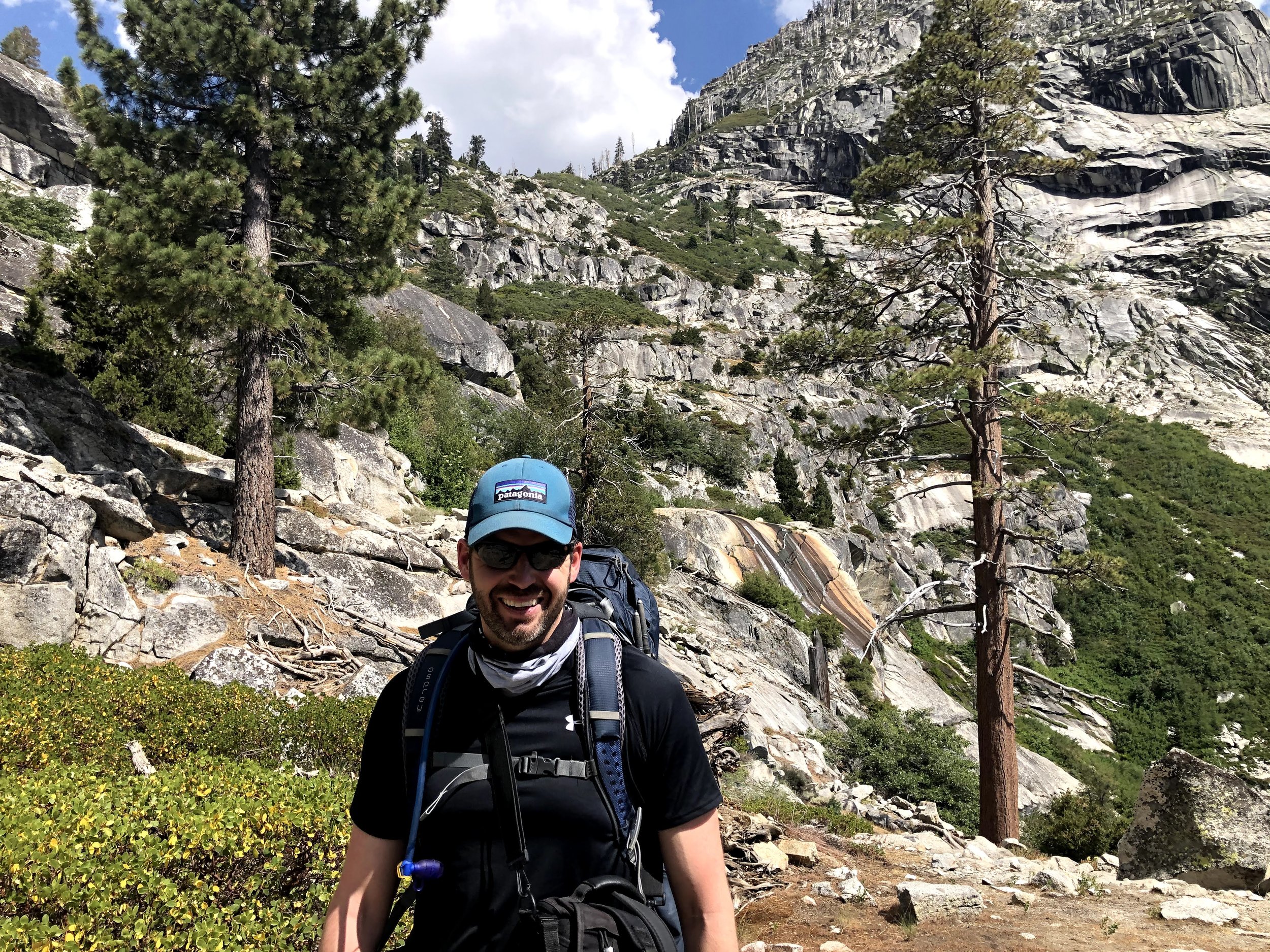
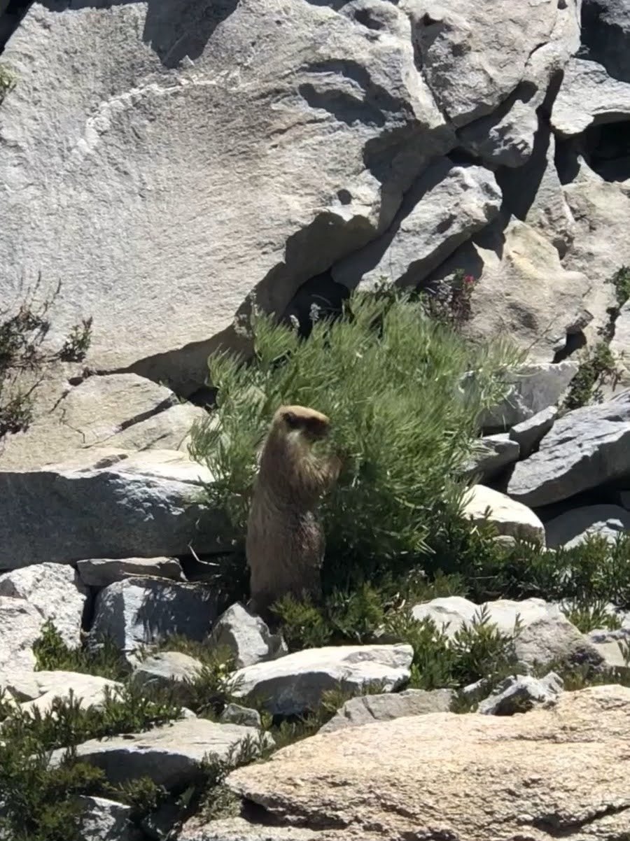
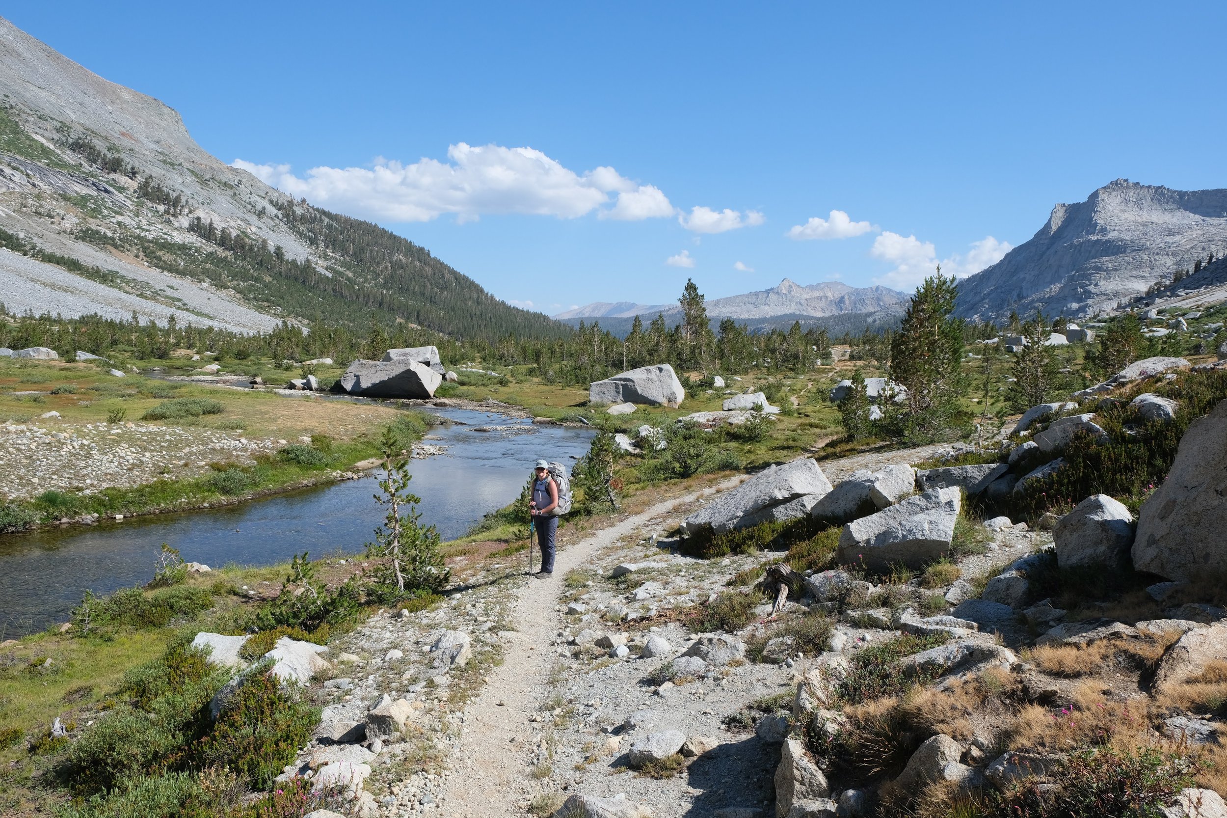
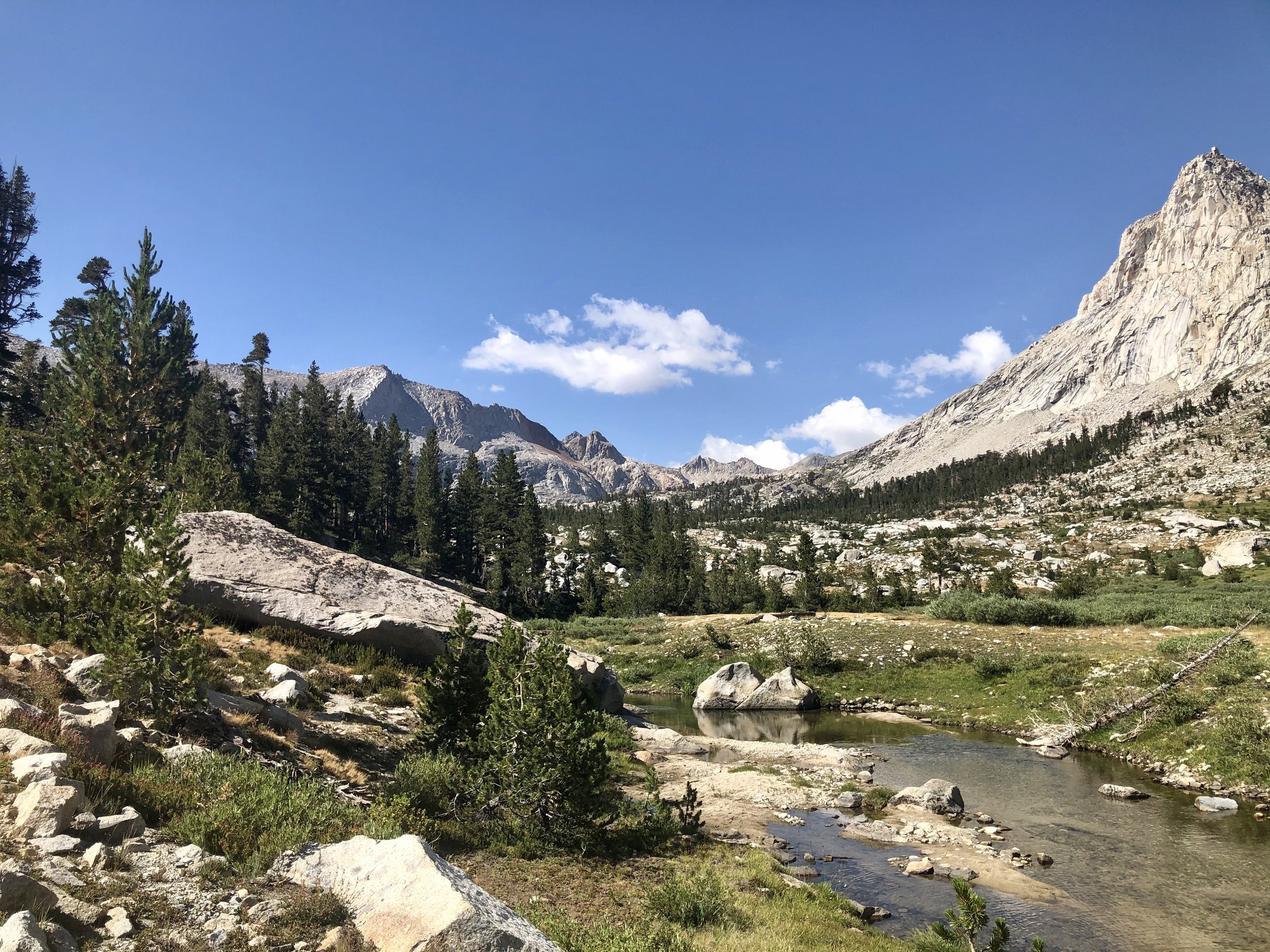
On Day 2, we headed through Hamilton Valley, one of the most beautiful portions of the trail if you ask me. We marveled at more sweeping vistas, the Sierra's trademark jagged peaks, wildflowers, and some wildlife.

Buck Creek campground was undoubtably more scenic than 9 Mile, but we were ultimately grateful that we’d had the cover during the prior night’s rainstorm.
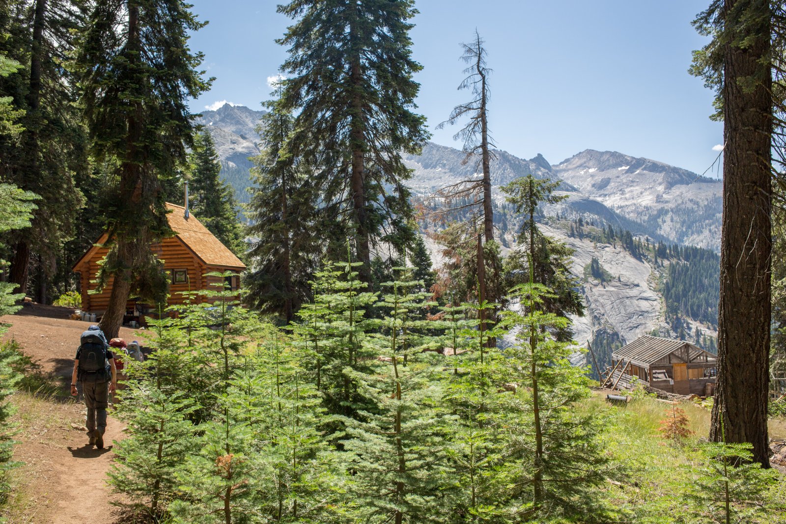
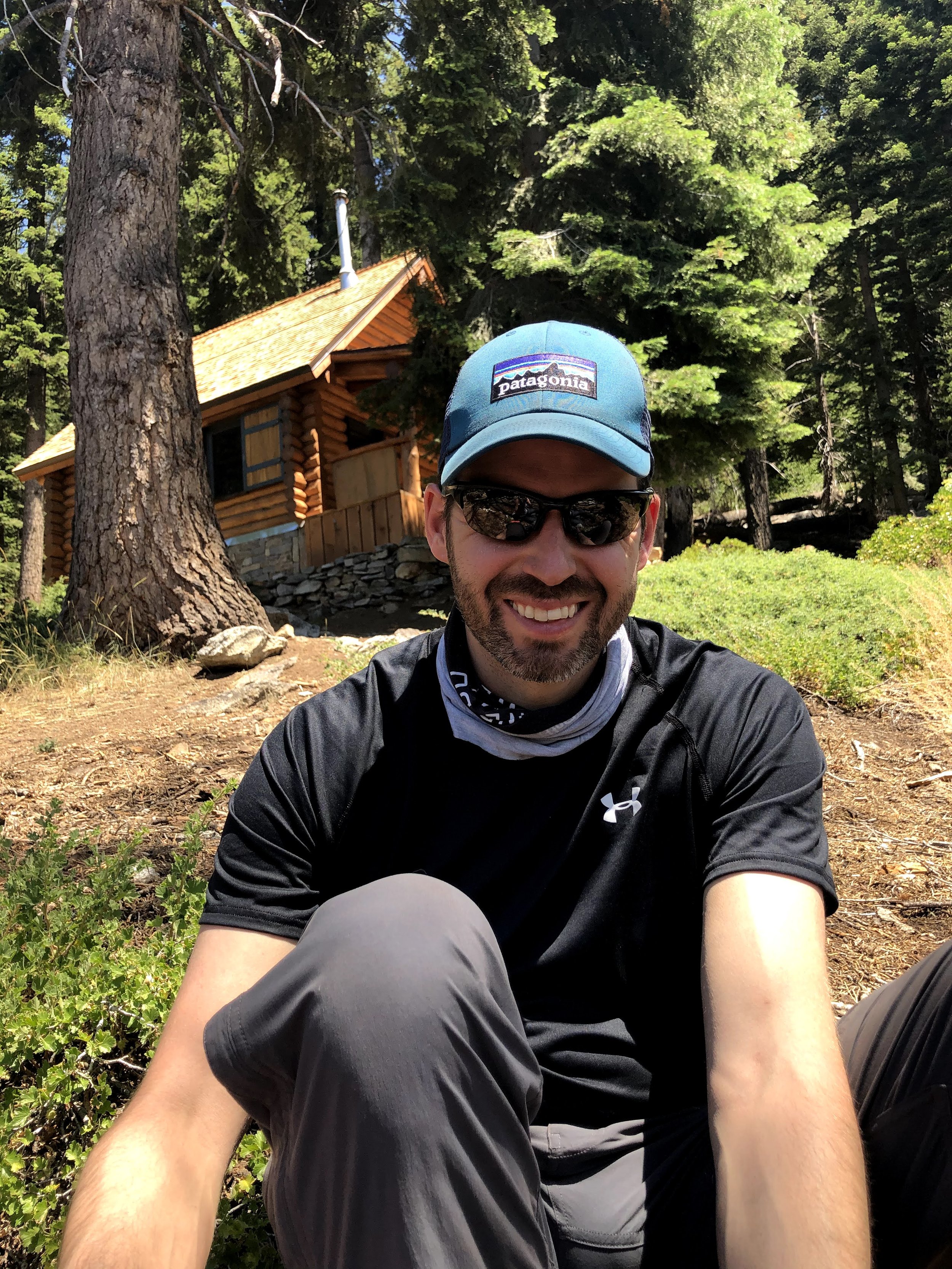
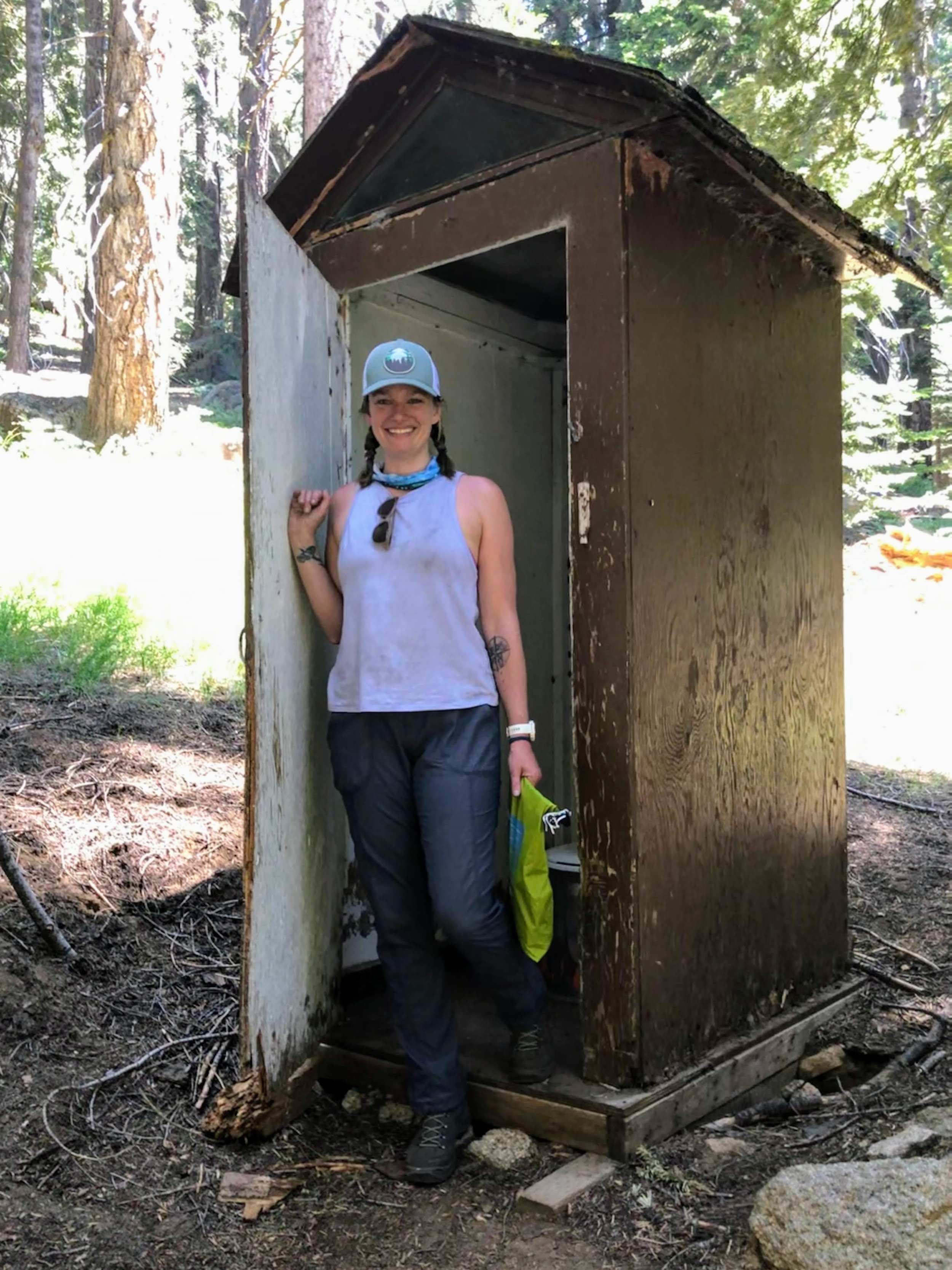
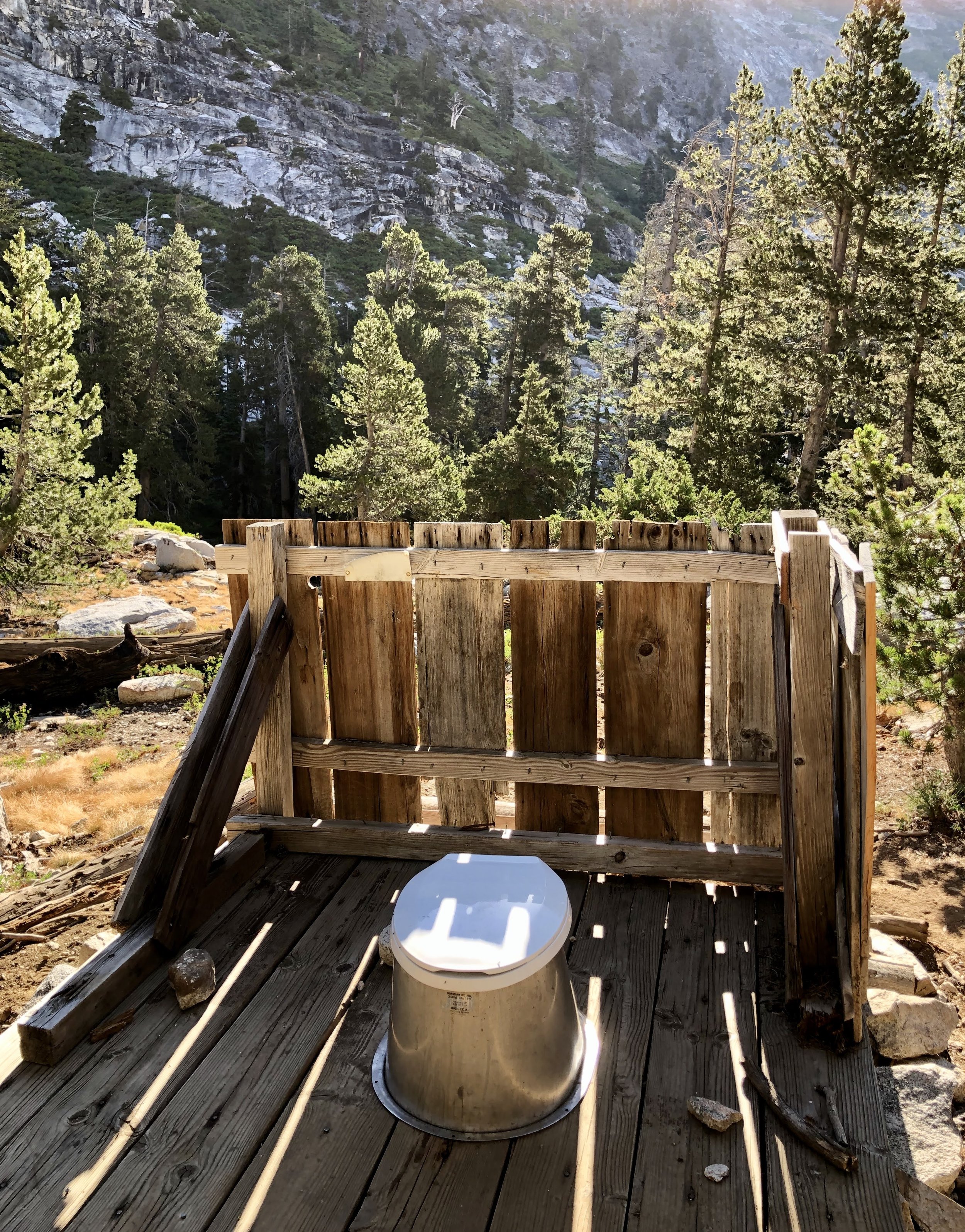
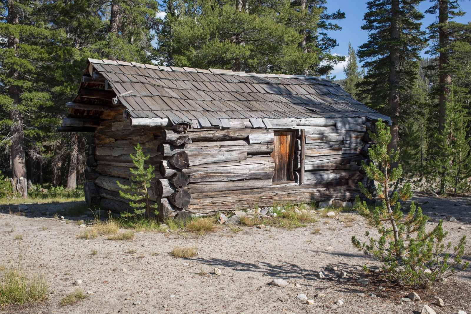
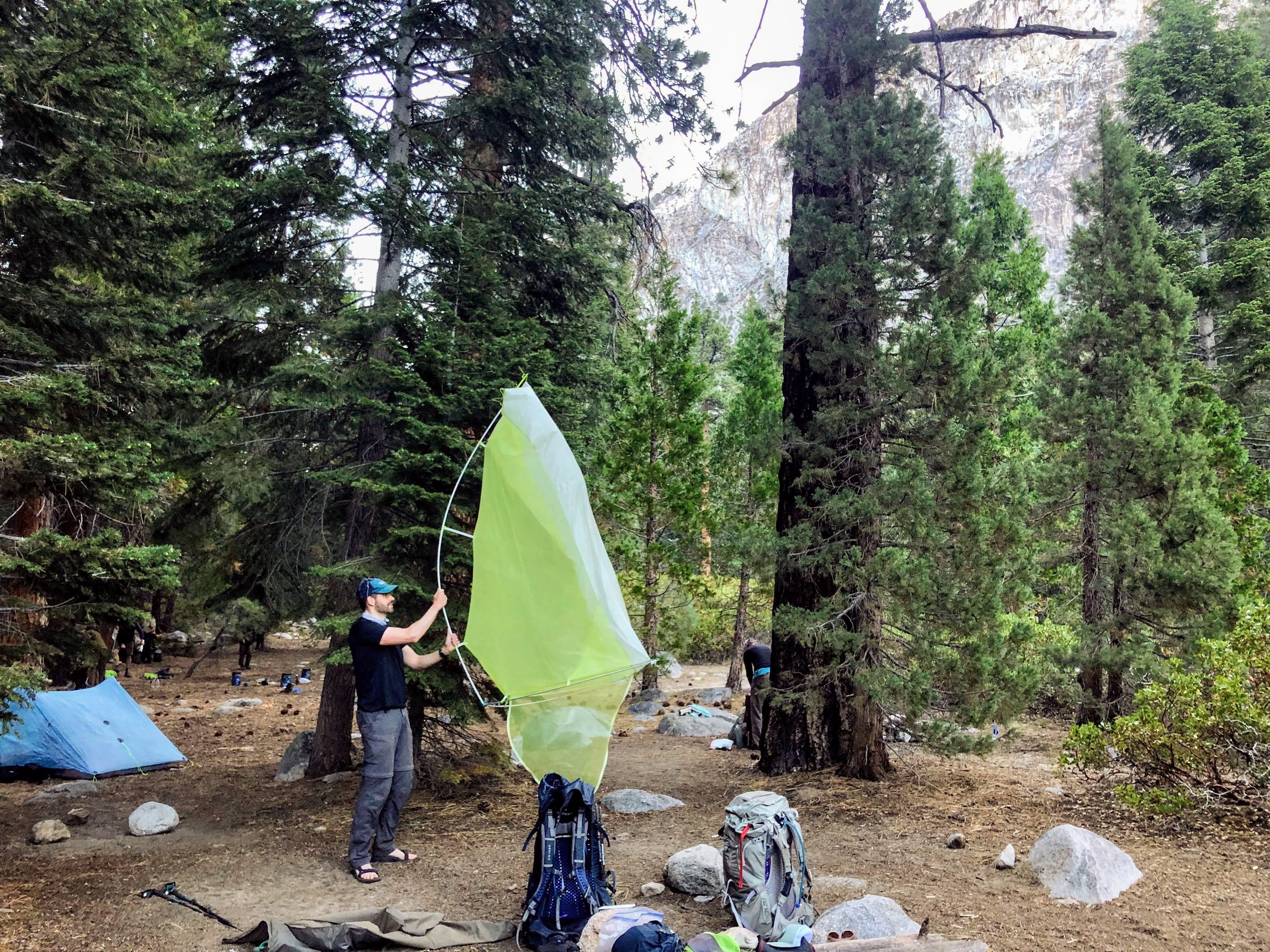
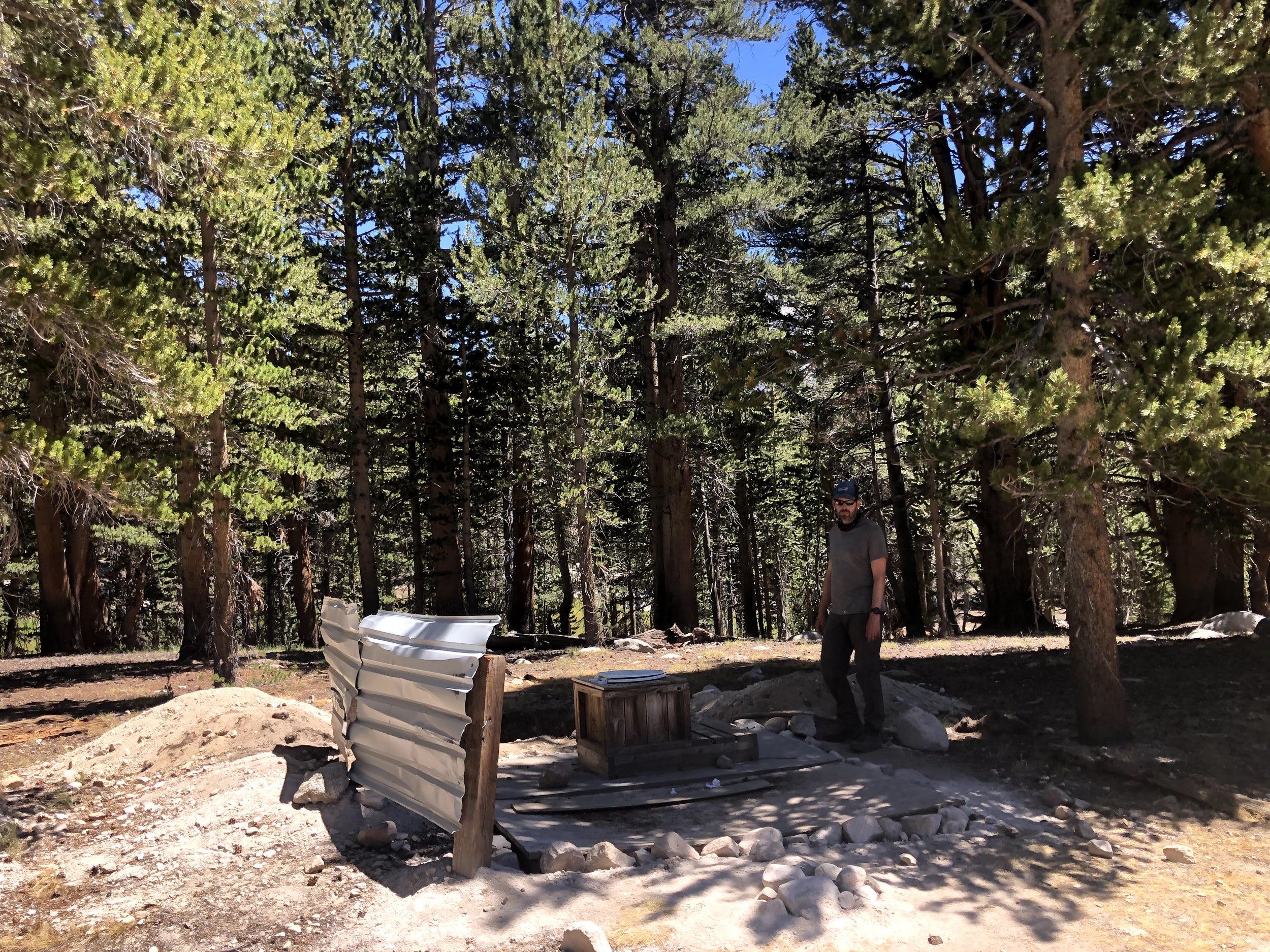
After an easy 1.5 mile descent to the Buck Creek campsite that we'd heard about the day before we climbed for 2 miles along the ridge, back into a grove of sequoia, and into the Bear Paw Meadow High Sierra Camp. Usually a fully staffed glamping spot, Bear Paw Meadow is a favorite spot for HST hikers to grab a burger and a beer. This year though, the camp was deserted, so instead of burgers and beer, we enjoyed rehydrated hummus and tuna on tortillas from our bear canisters. Bear Paw Meadow stayed true to one promise, though: Magical Forest Toilets! We found this gnarly outhouse where those who were inclined could enjoy a poo with a view.
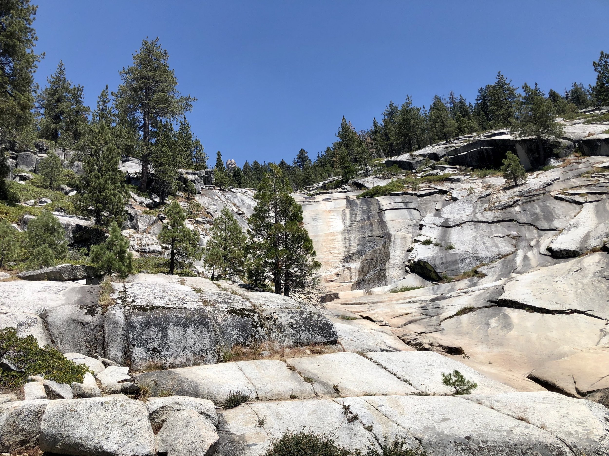
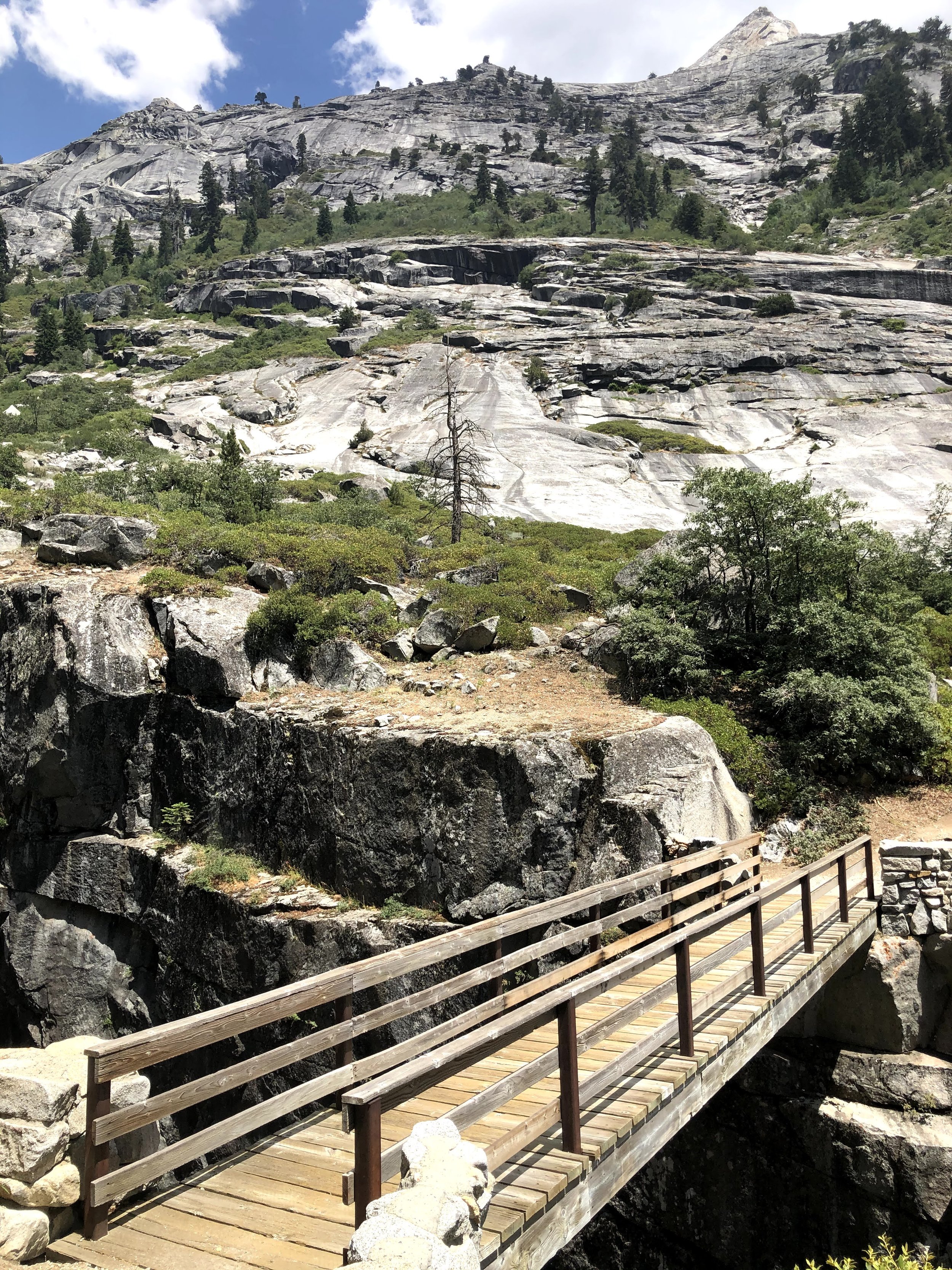
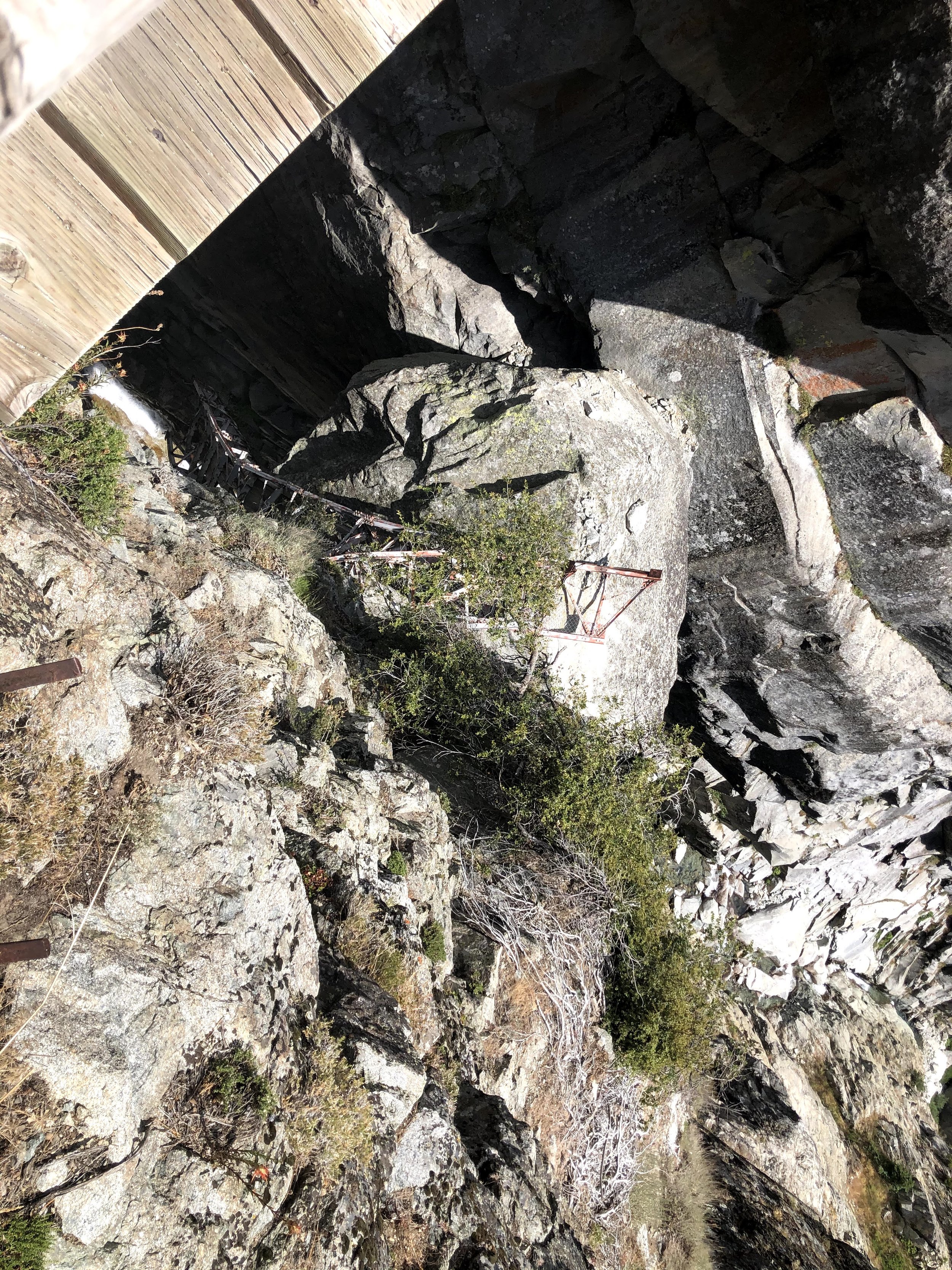
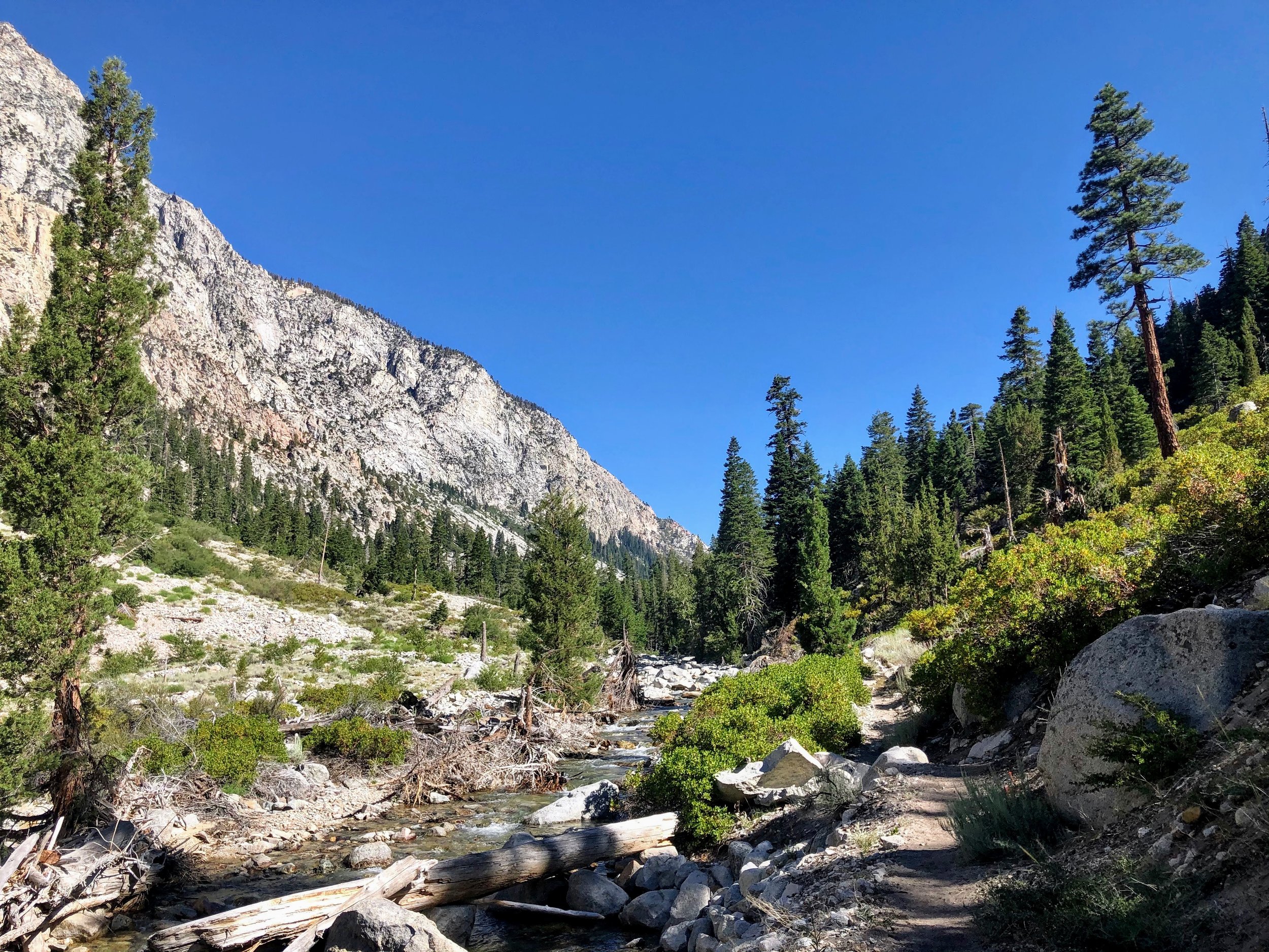
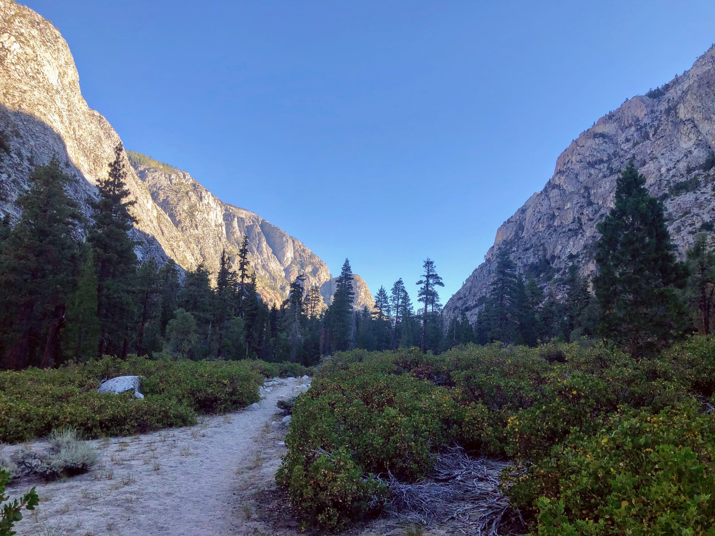
We left Bear Paw and descended around 2 miles, through wildflowers and some lush shrubs, down to the Lone Pine Bridge.

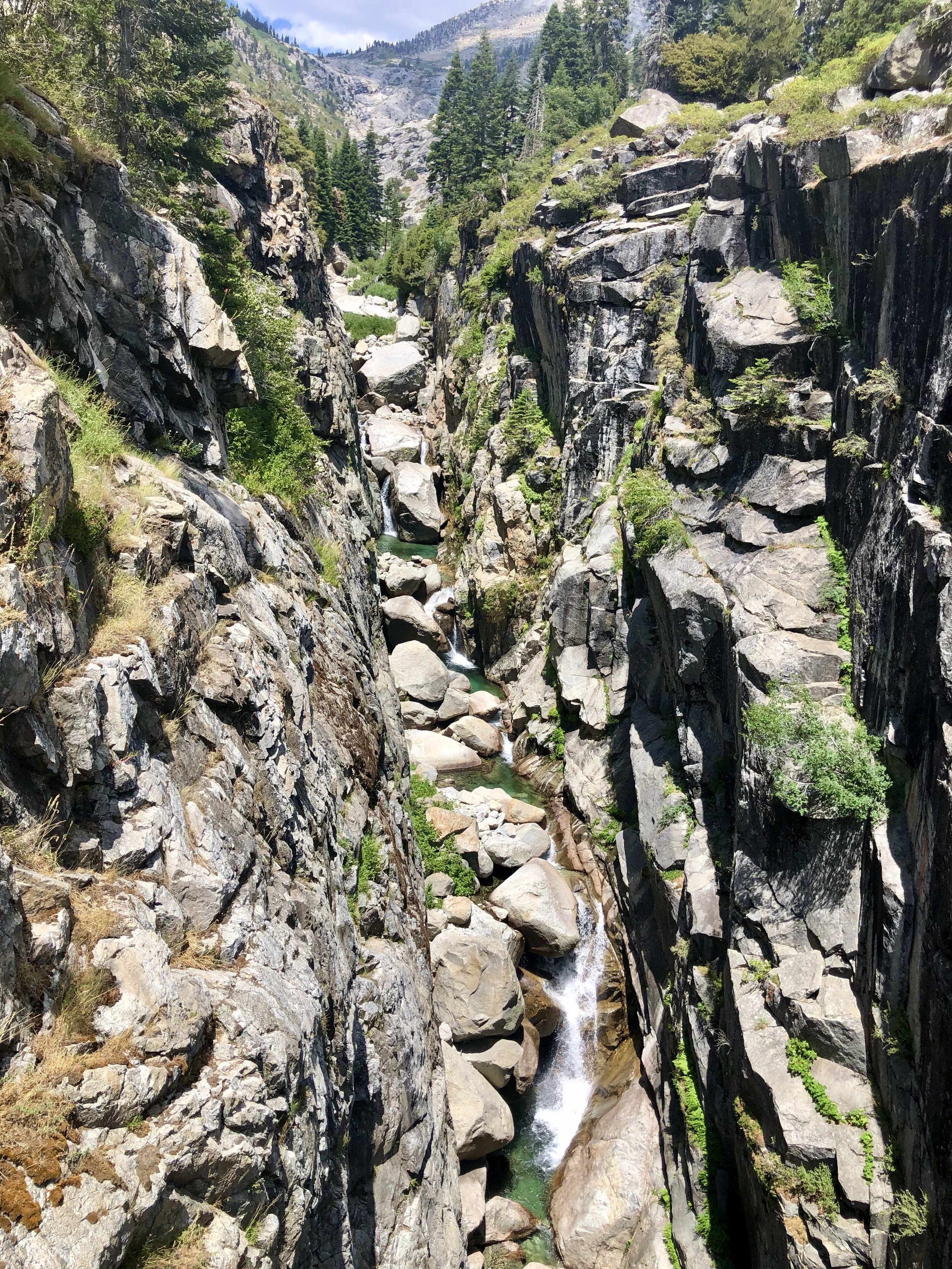
The bridge spans a section of Hamilton Valley, and replaces the old Lone Pine Bridge, which you can still see in the gorge below. The waterfalls under the bridge were spectacular. So was the climb back up to Hamilton Lake, which kept us busy for the rest of the day.
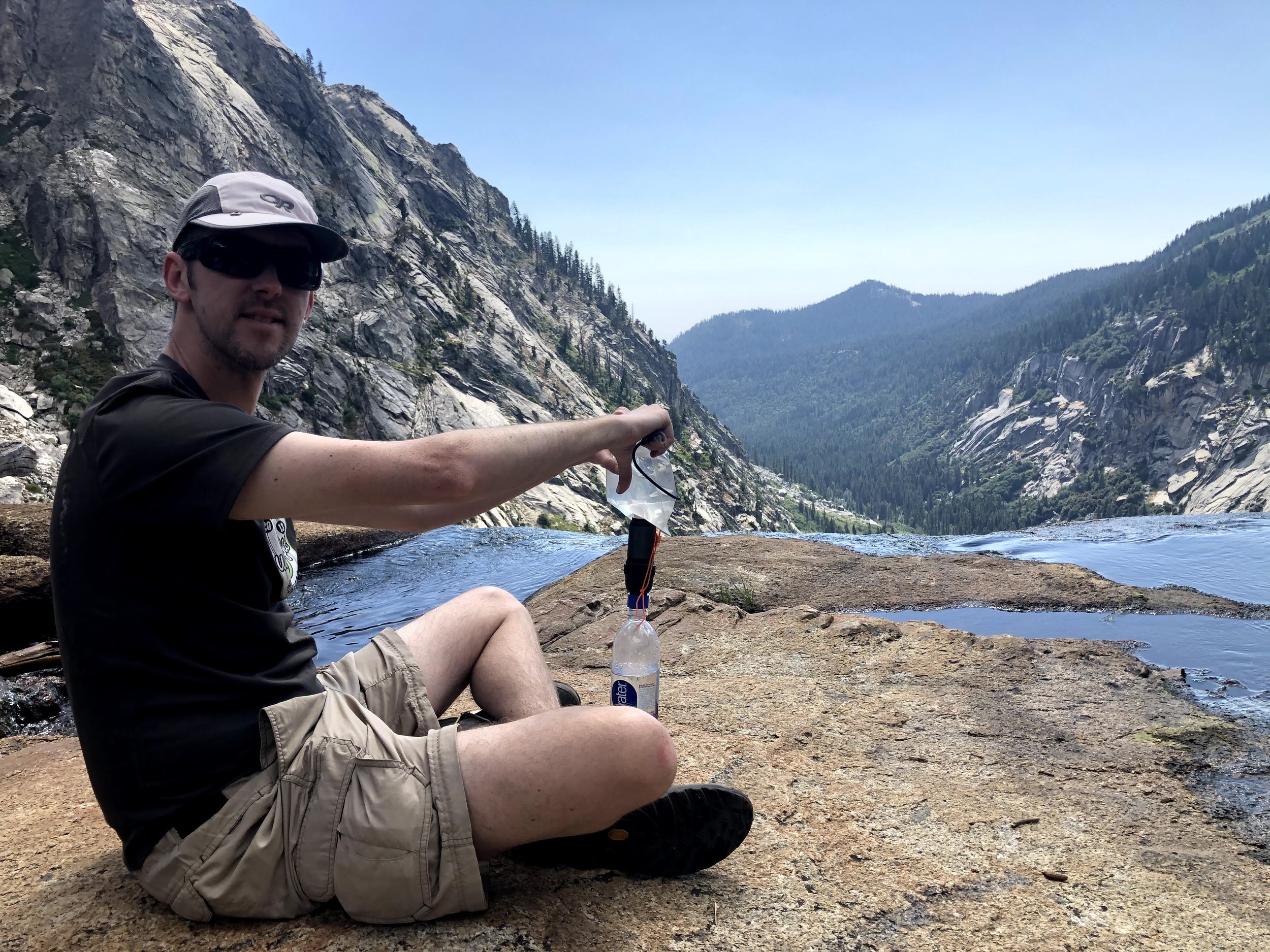
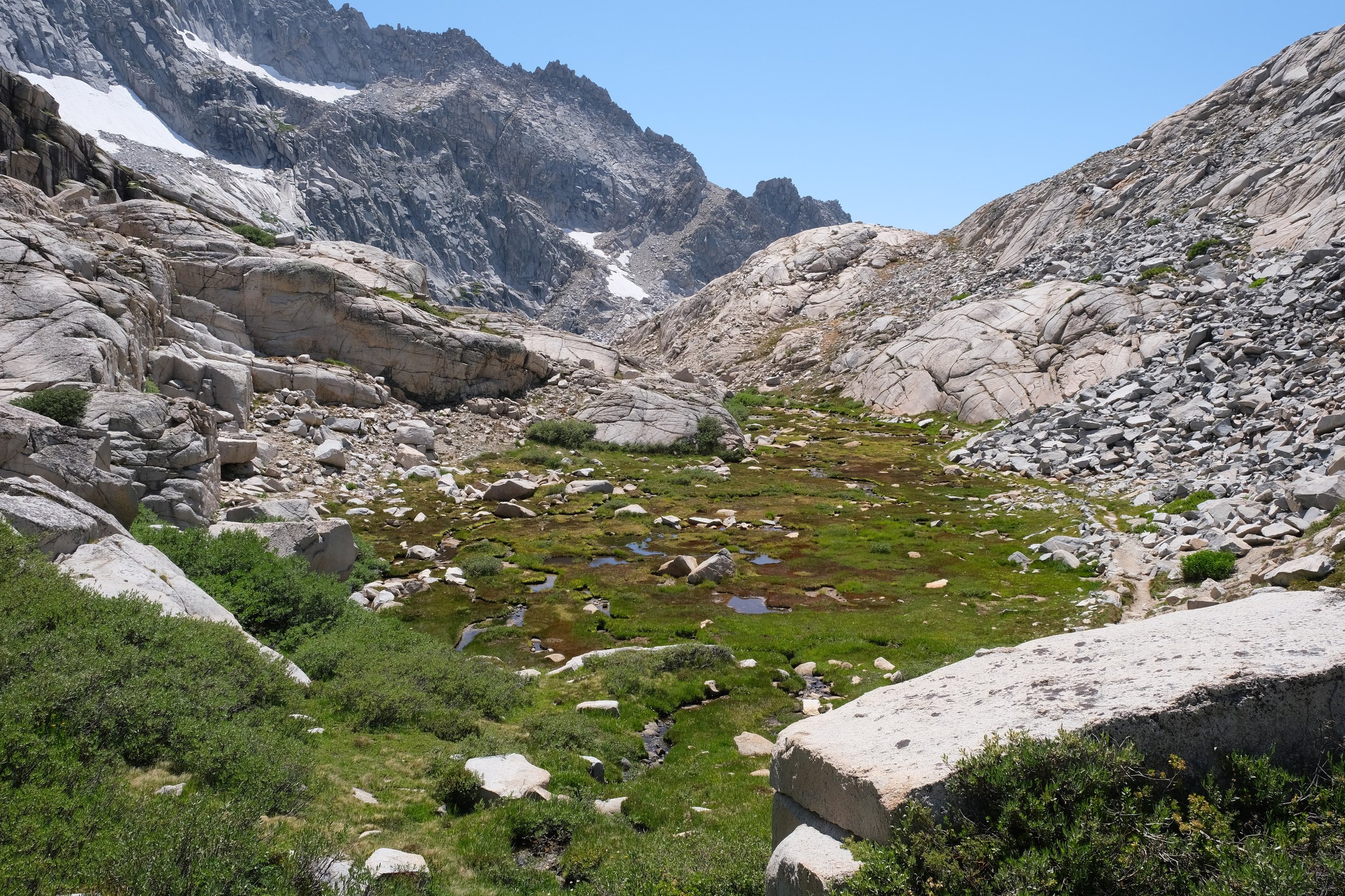
Toward the end of our steep ascent to Hamilton Lake, we reached a real life infinity pond. We stopped, dropped our packs, filtered some water, and communed with the locals.

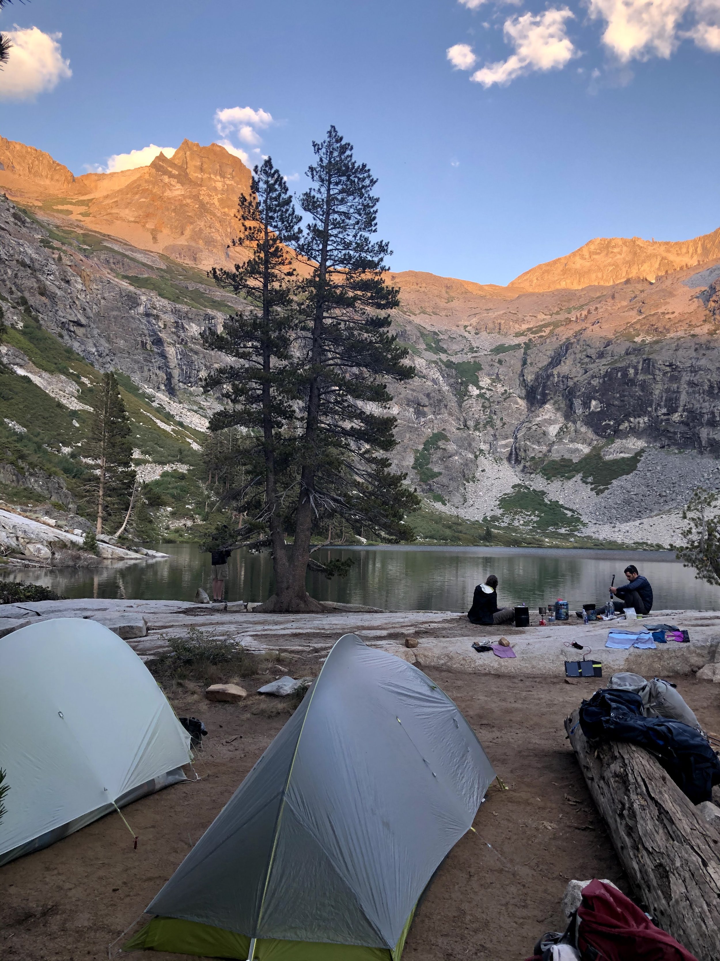
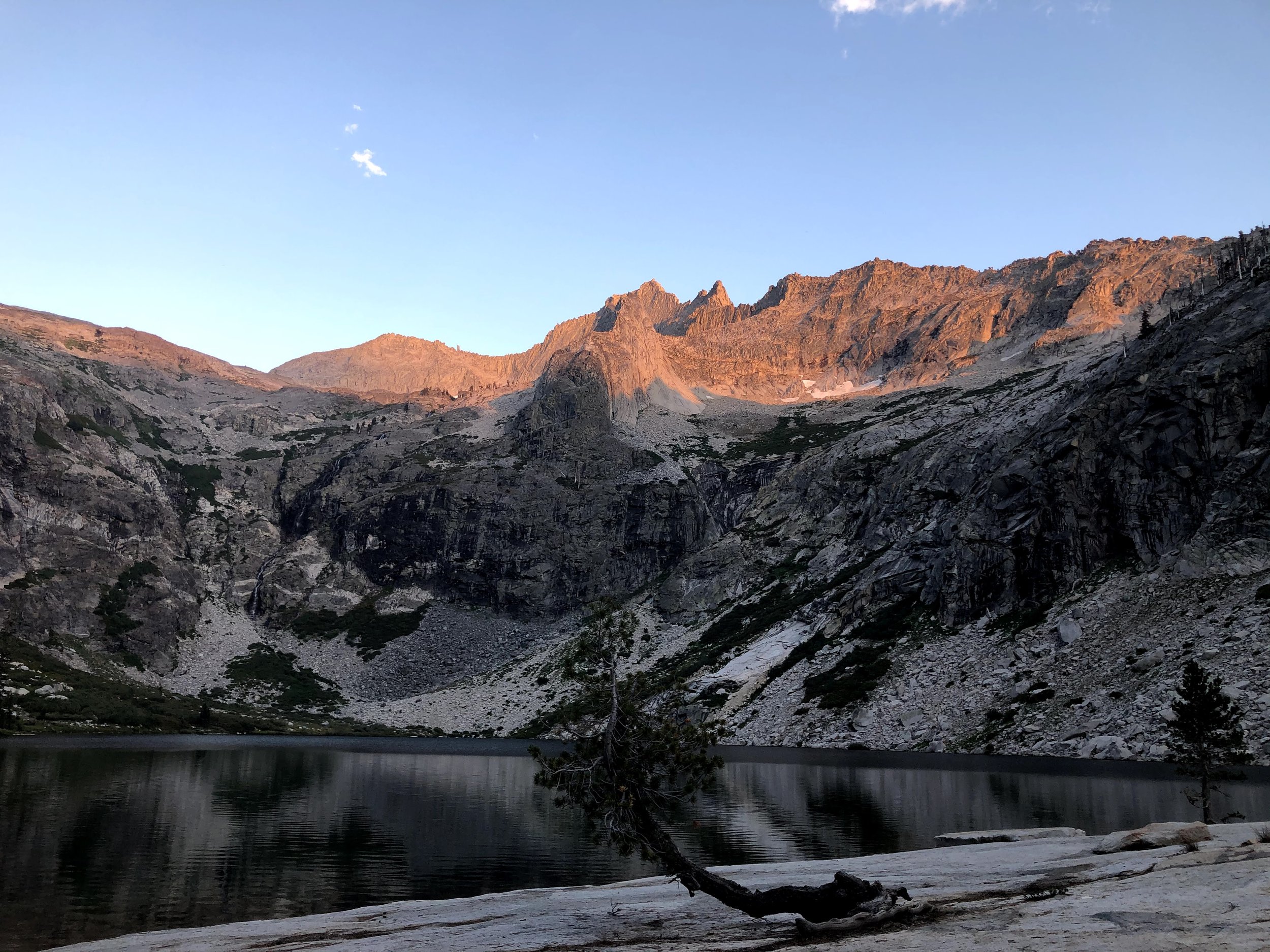
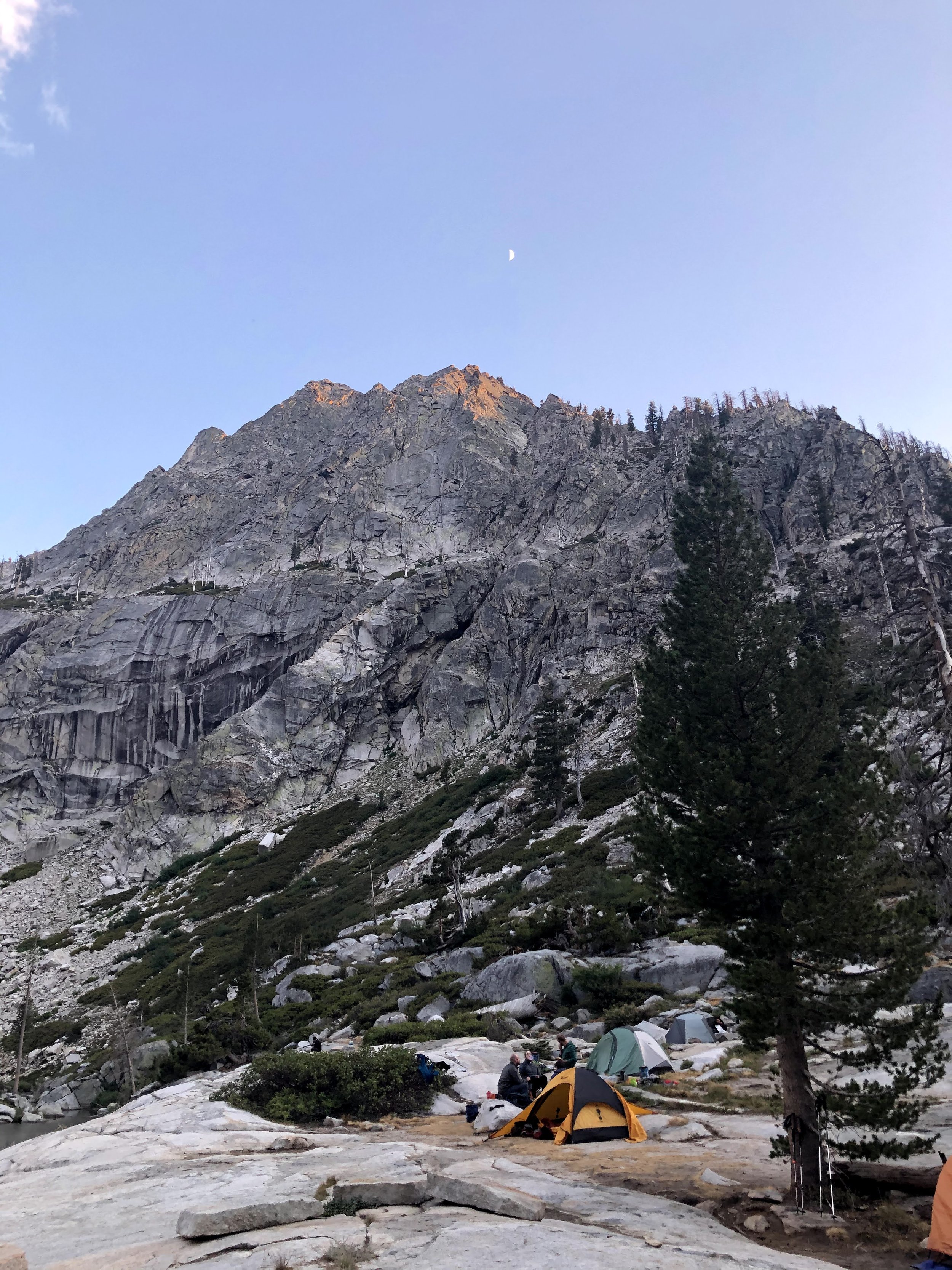
After one last upward push, we coasted into Upper Hamilton Lake. Sitting at just over 8,000', this stunning mountain lake gave us our first taste of real High Sierra camping. We indulged in a swim, cooked dinner on the bank, and sat back to enjoy the amazing sunset.

Day 3: Hamilton Lake to Big Arroyo

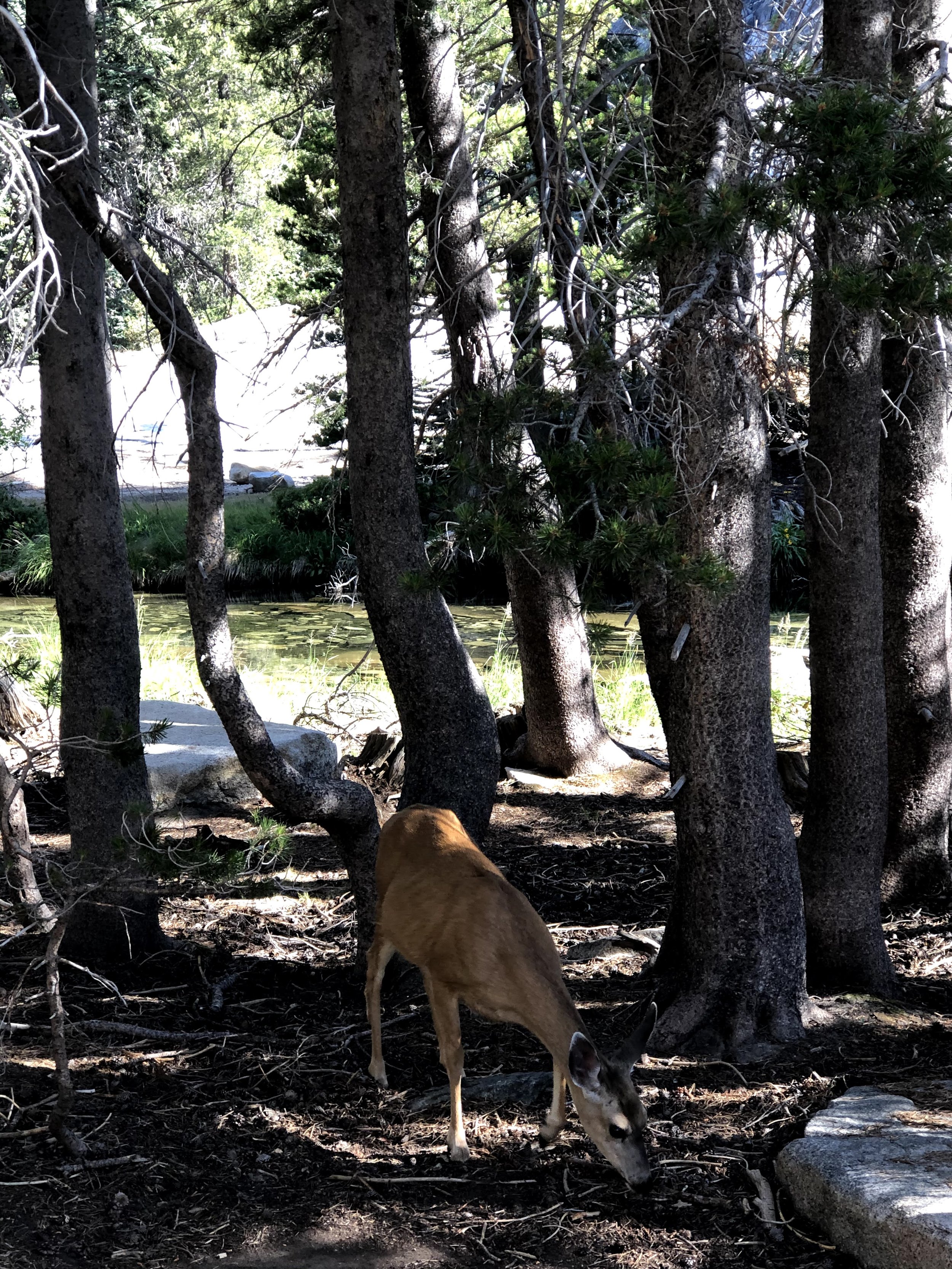
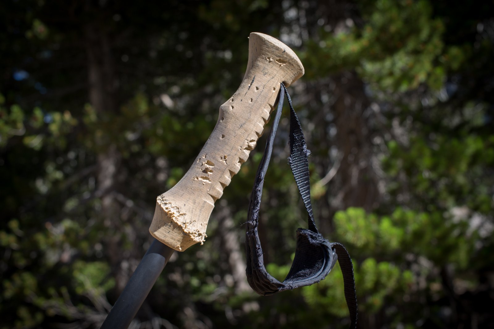
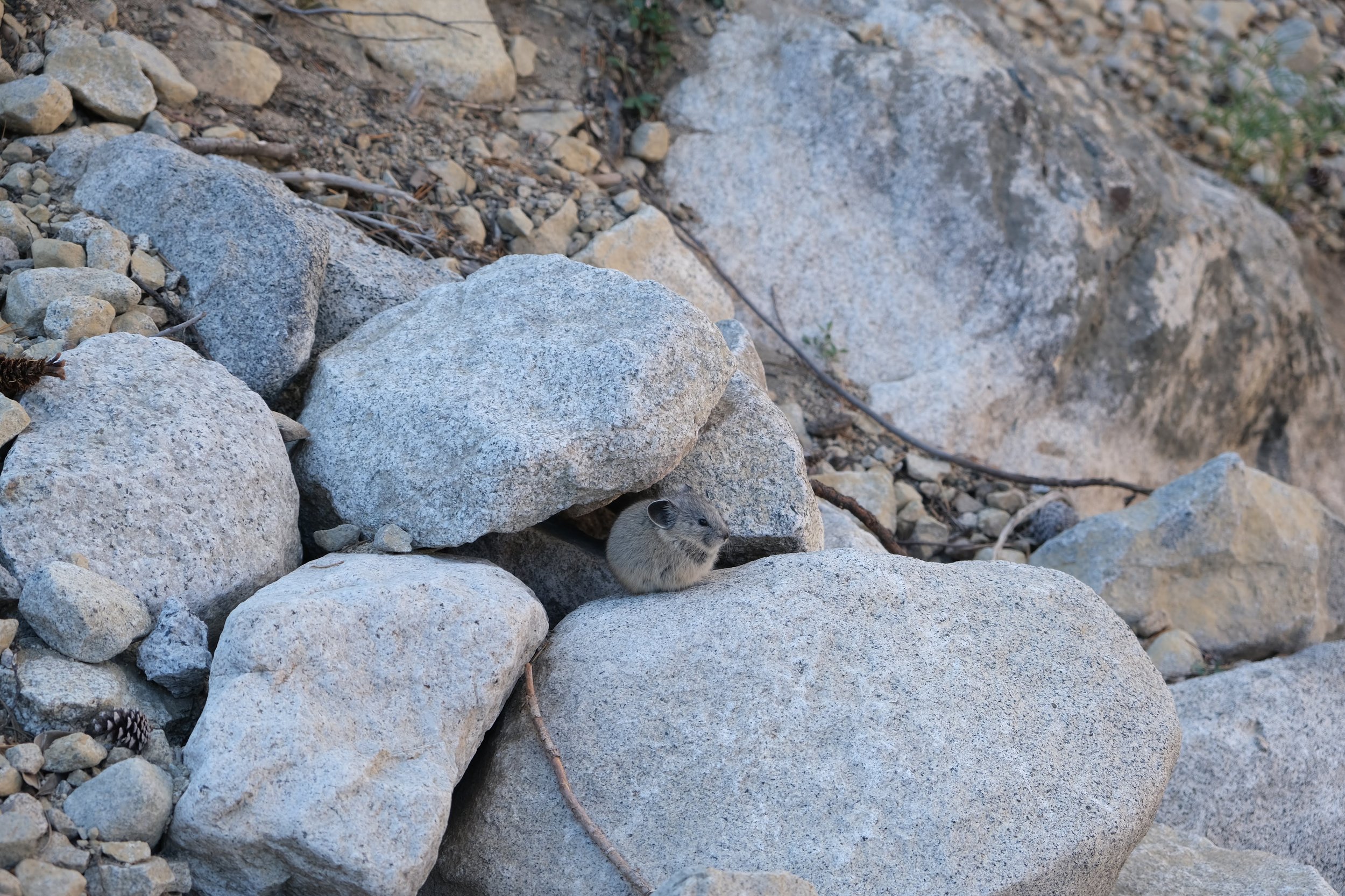
We awoke to an incredible sunrise and a surprise. At some point during the night, a curious deer had come to investigate the clothing we'd left drying on a log. He must have liked what he found, because in the morning, we found Jon's hiking poles chewed and his shirt soaking wet, chewed through, and abandoned in the woods about 25 feet from camp. After retrieving his shirt, and chastised the suspect - a deer who lingered near camp - we hit the most scenic porta-john I've ever seen and hit the trail.
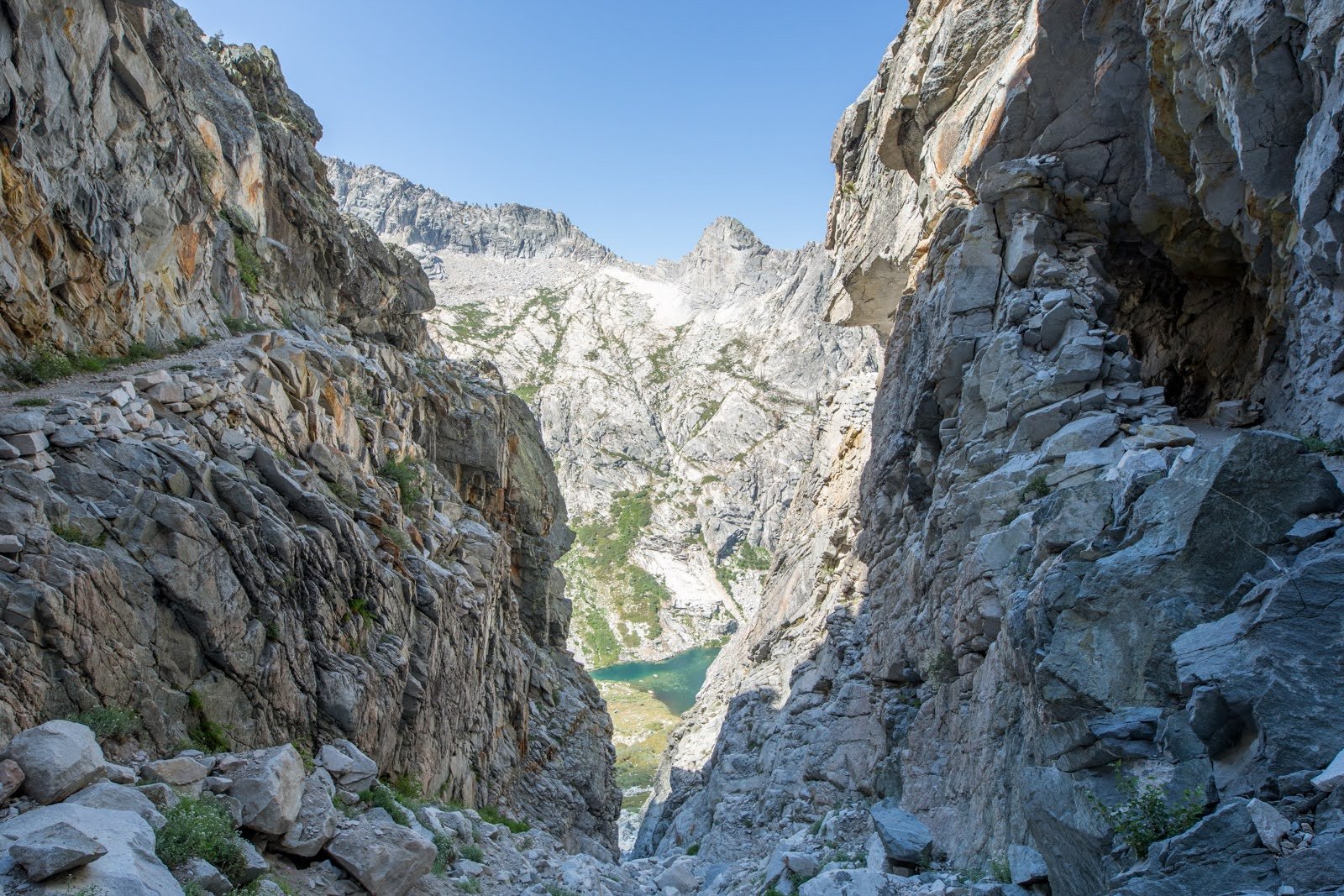
The route climbed steeply out of camp for 1.25 miles and nearly 1,000'. Below us, we could see the entirety of Hamilton Lake along with the little beach that had been our campsite.

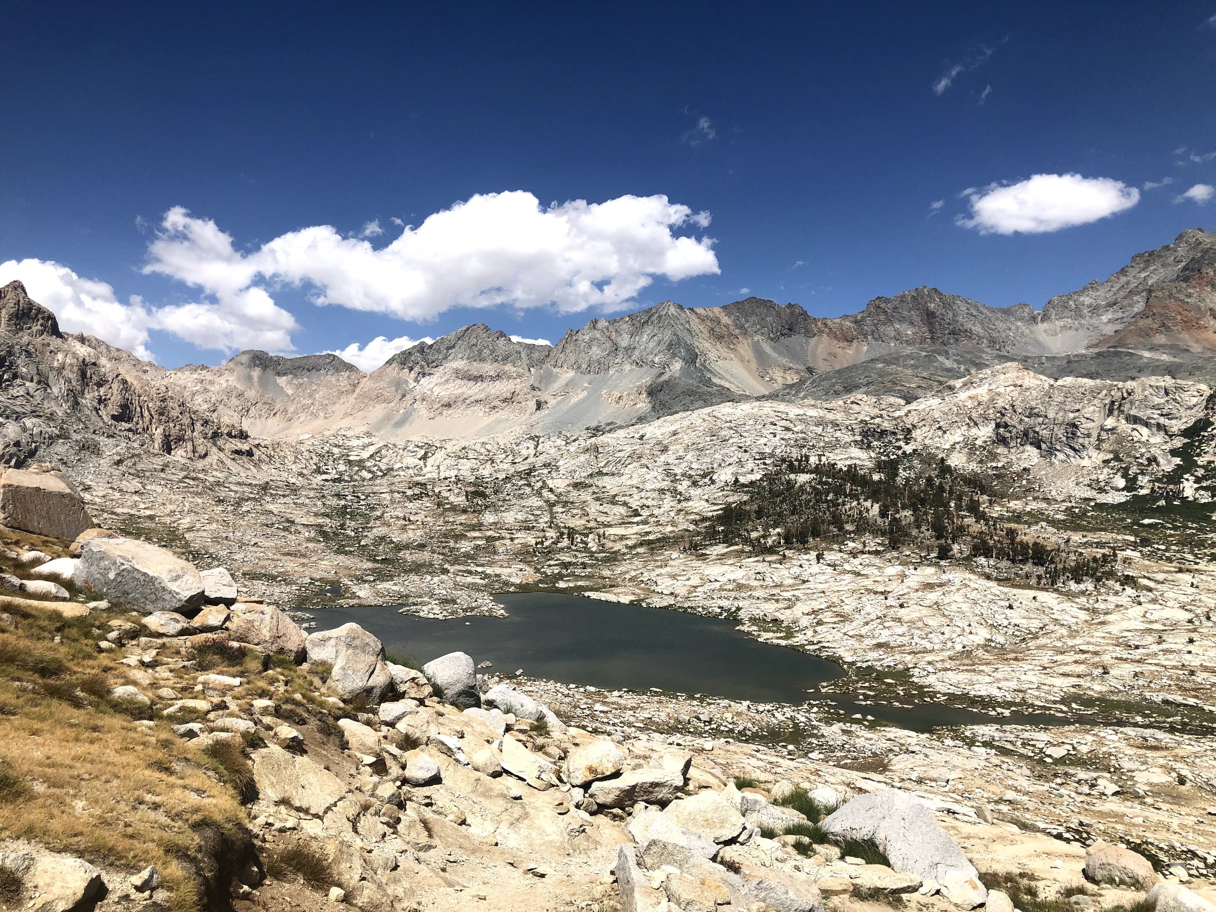
Hamilton Lake from above
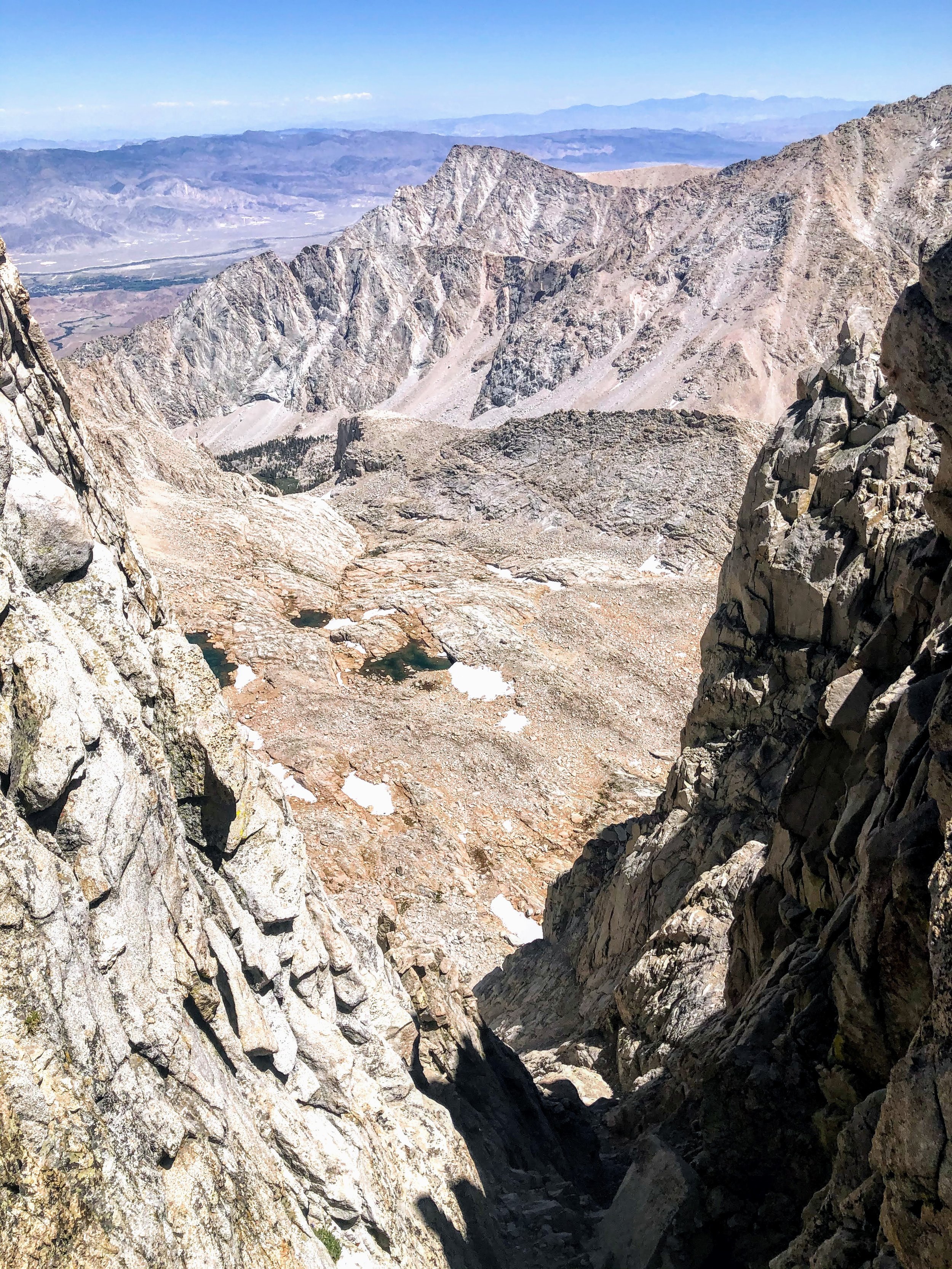
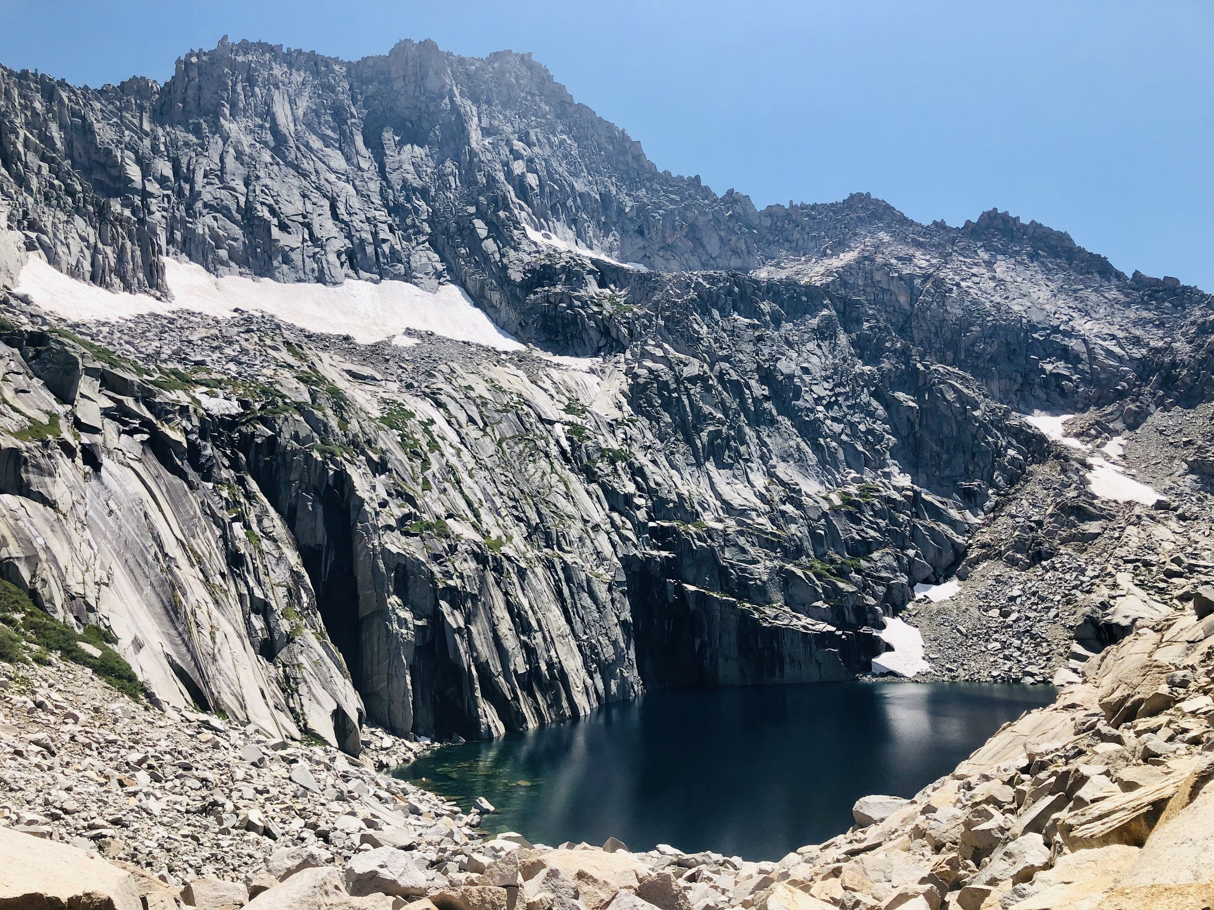
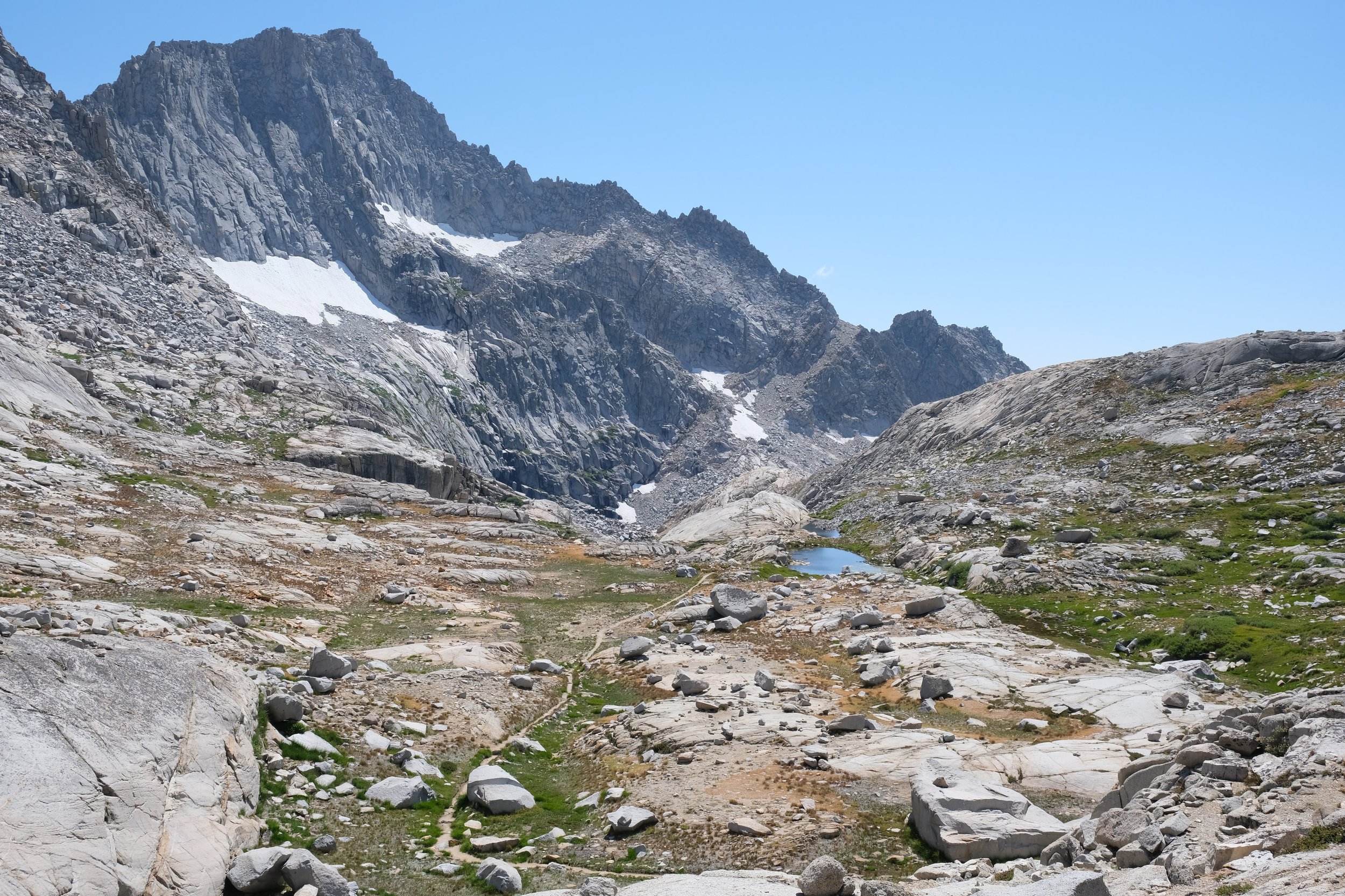
About 2 miles in, we came upon Hamilton Gorge Tunnel. The sides of the canyon used to be connected by a suspension bridge, but that was knocked down by an avalanche nearly a century ago. My GPS went nuts as we traversed from one side of the canyon to the other, as did my vertigo!
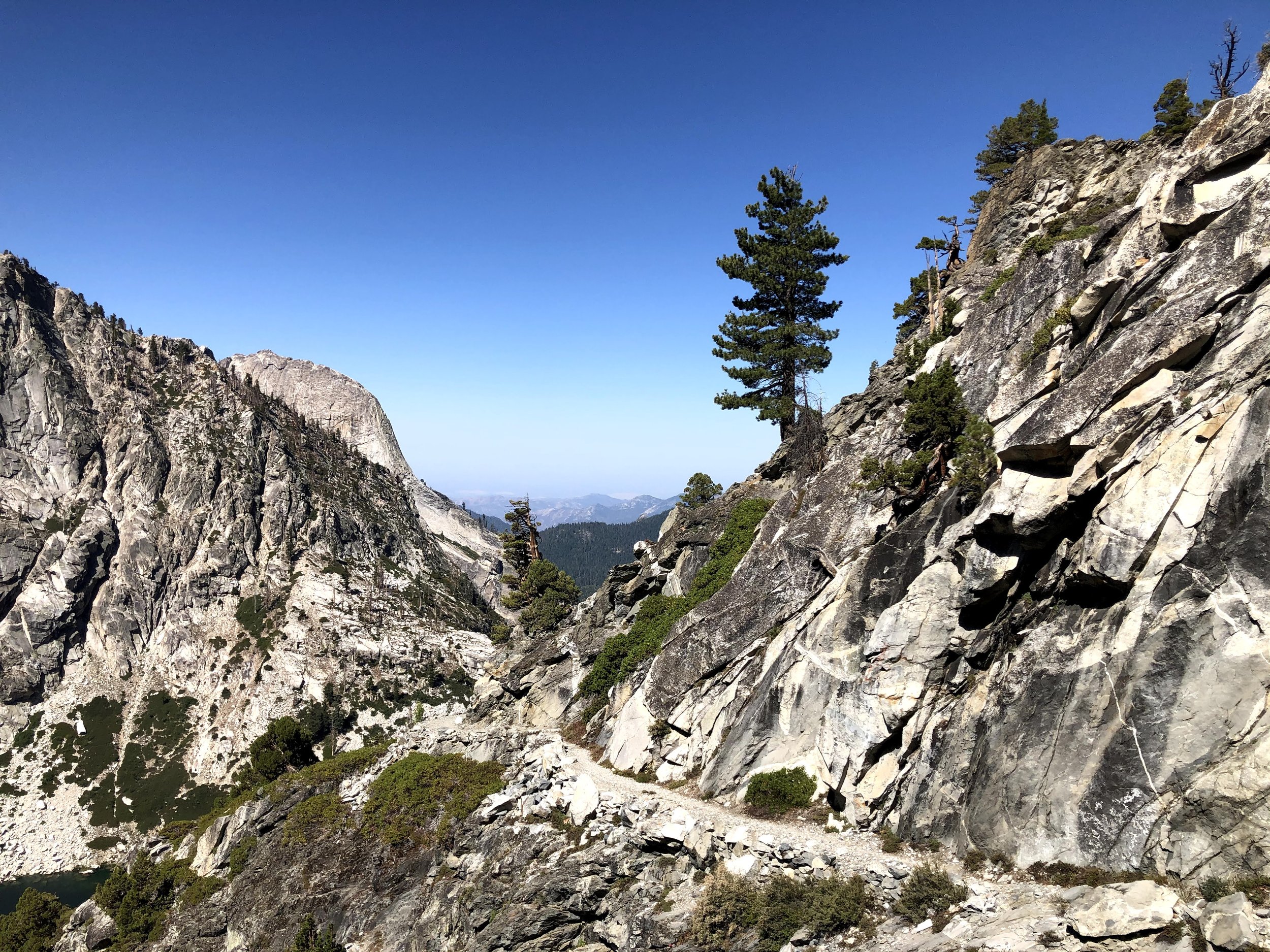
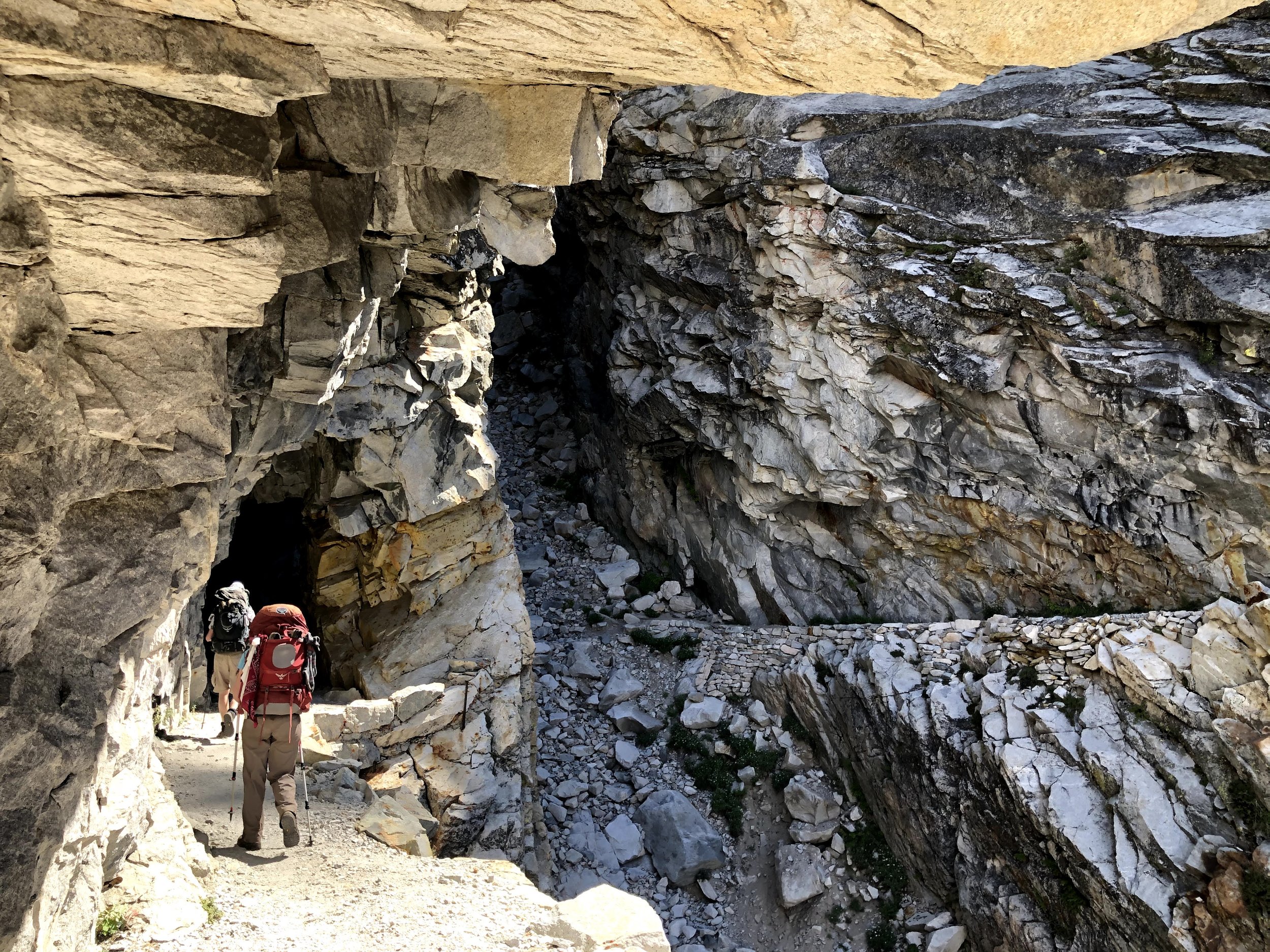
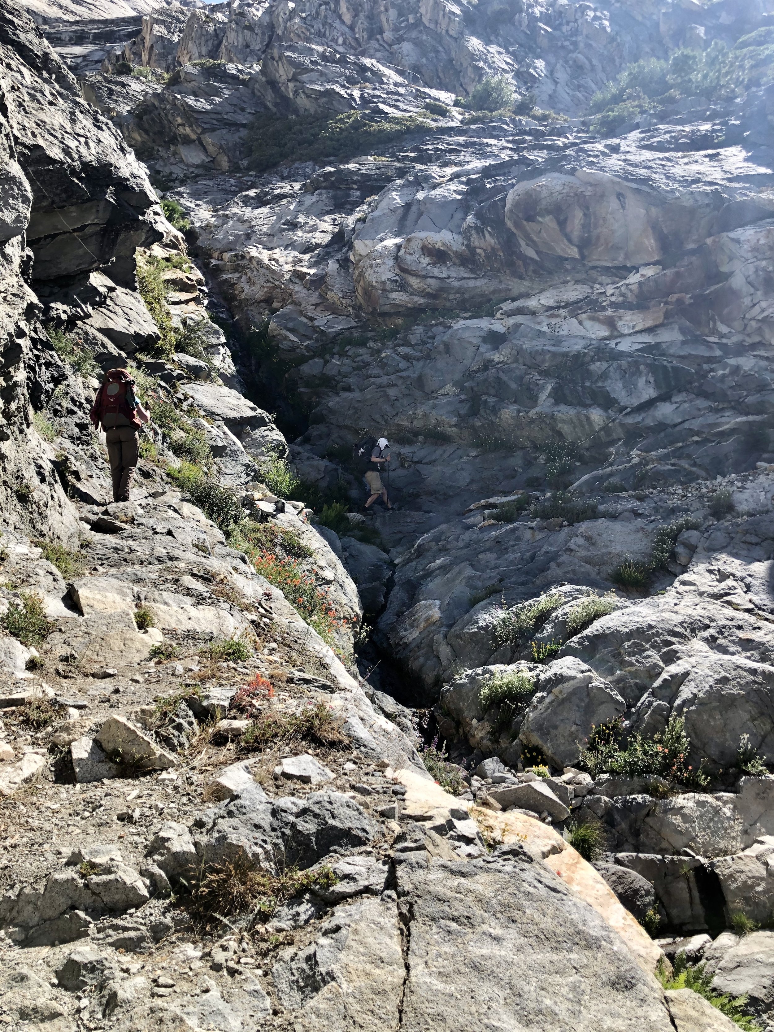
After the tunnel, our climb continued for another 2 miles until we reached...

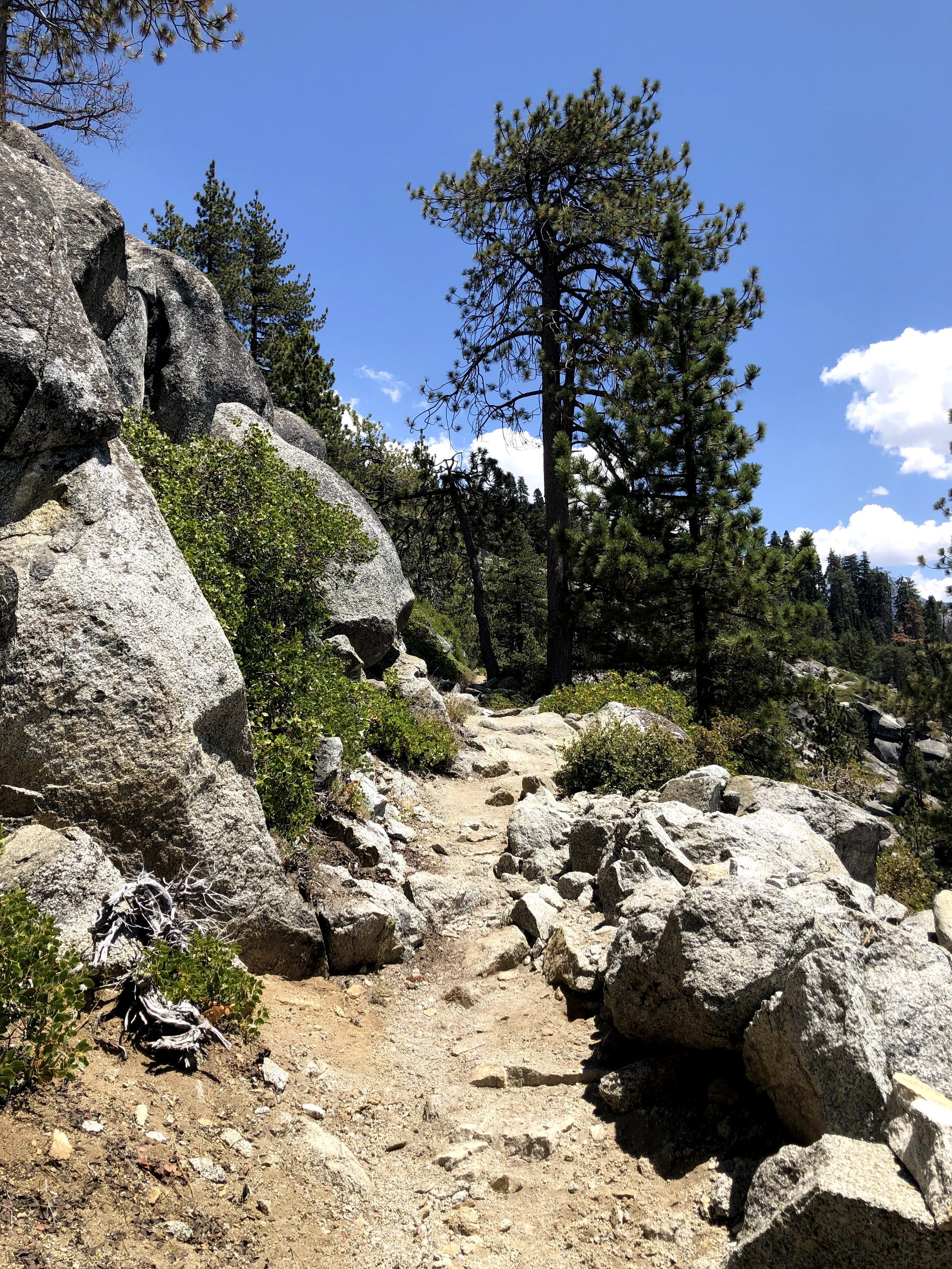
Precipice Lake
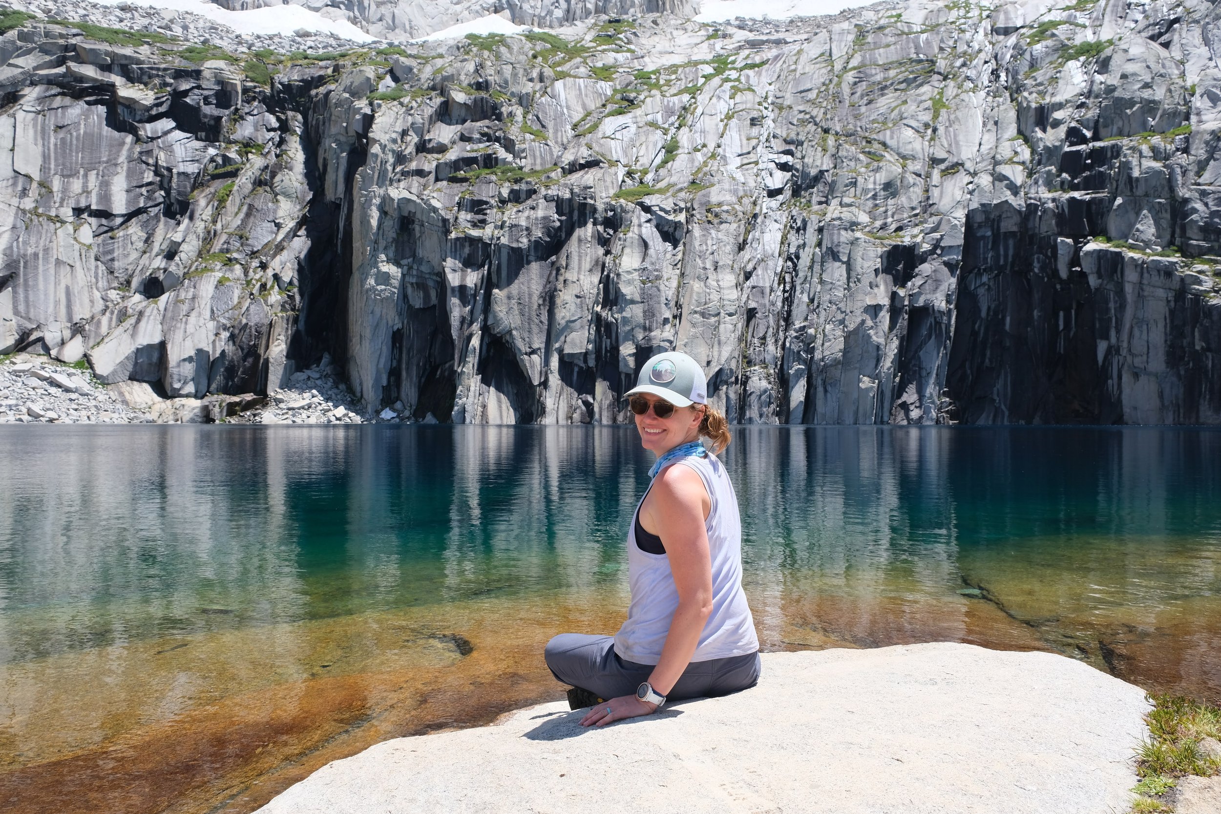
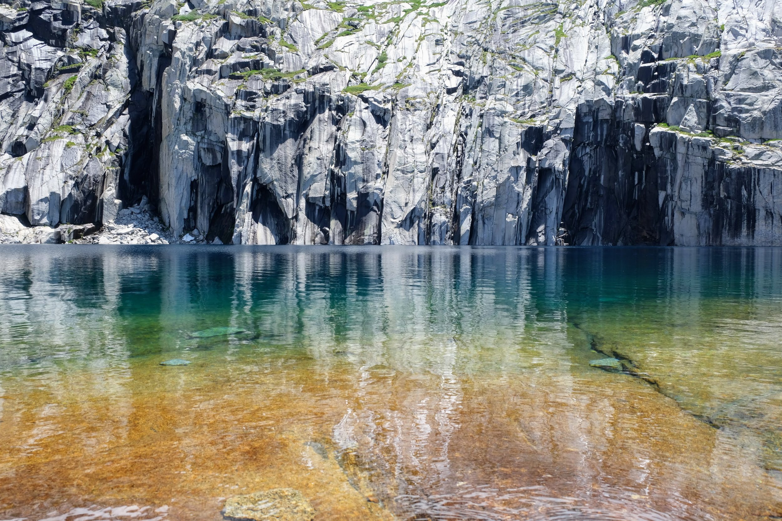
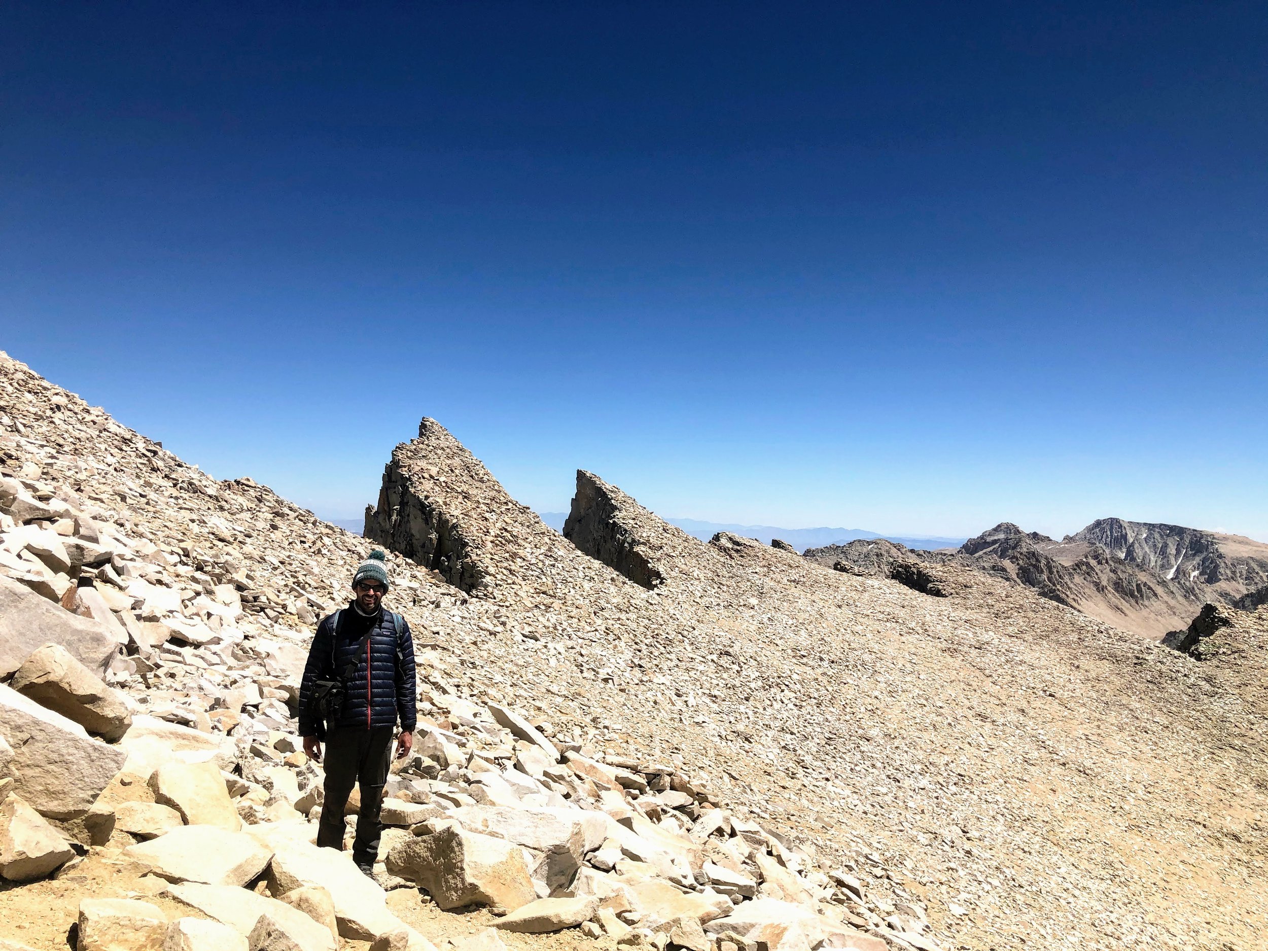
After a lovely long lunch at the lake we continued through an alpine meadow, up and over Kaweah Gap...
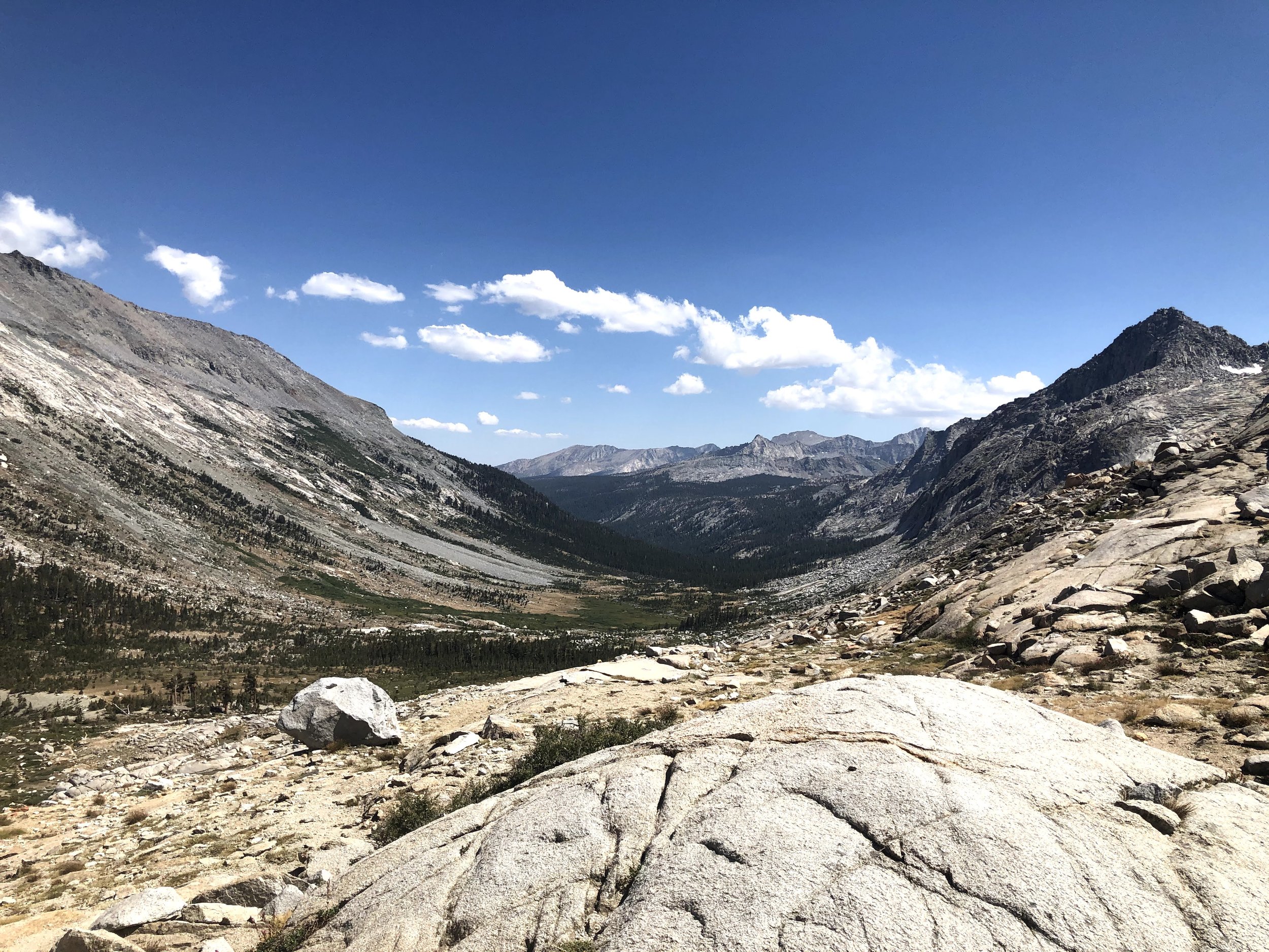
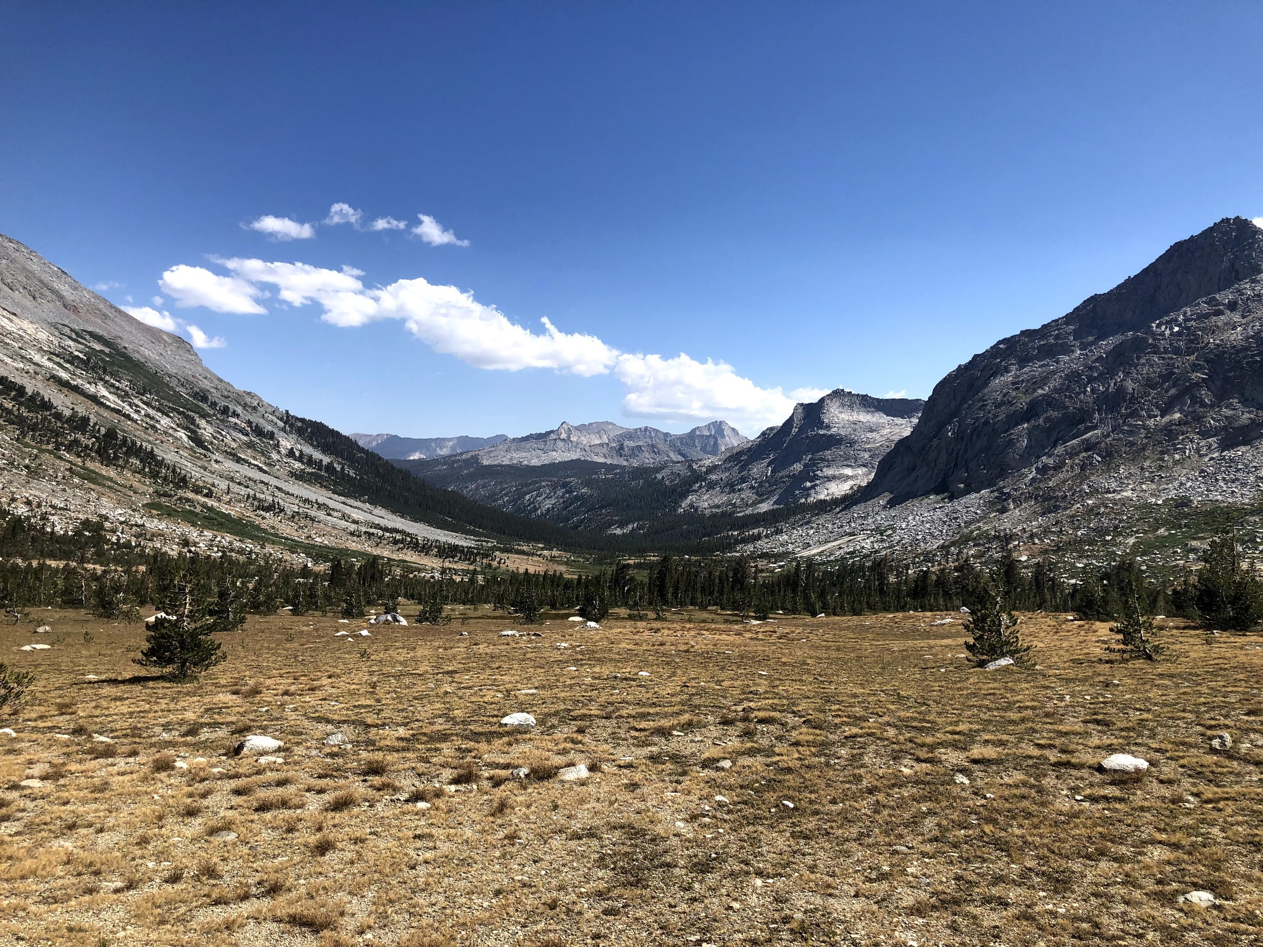
and down into Big Arroyo.
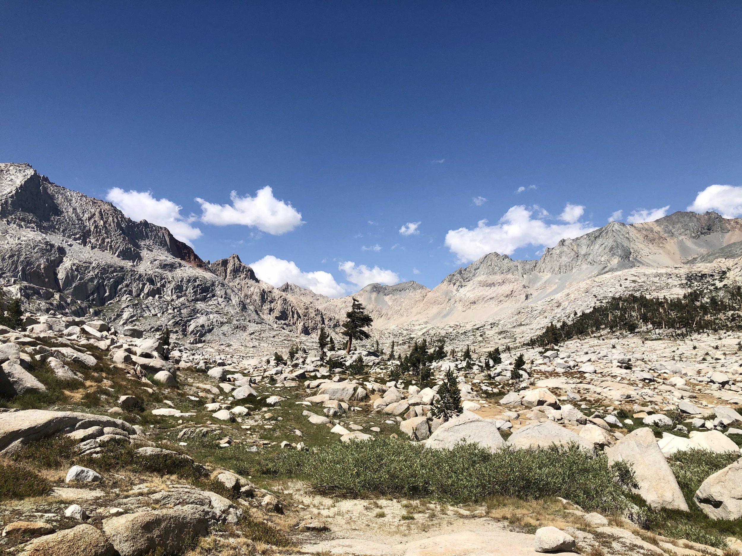
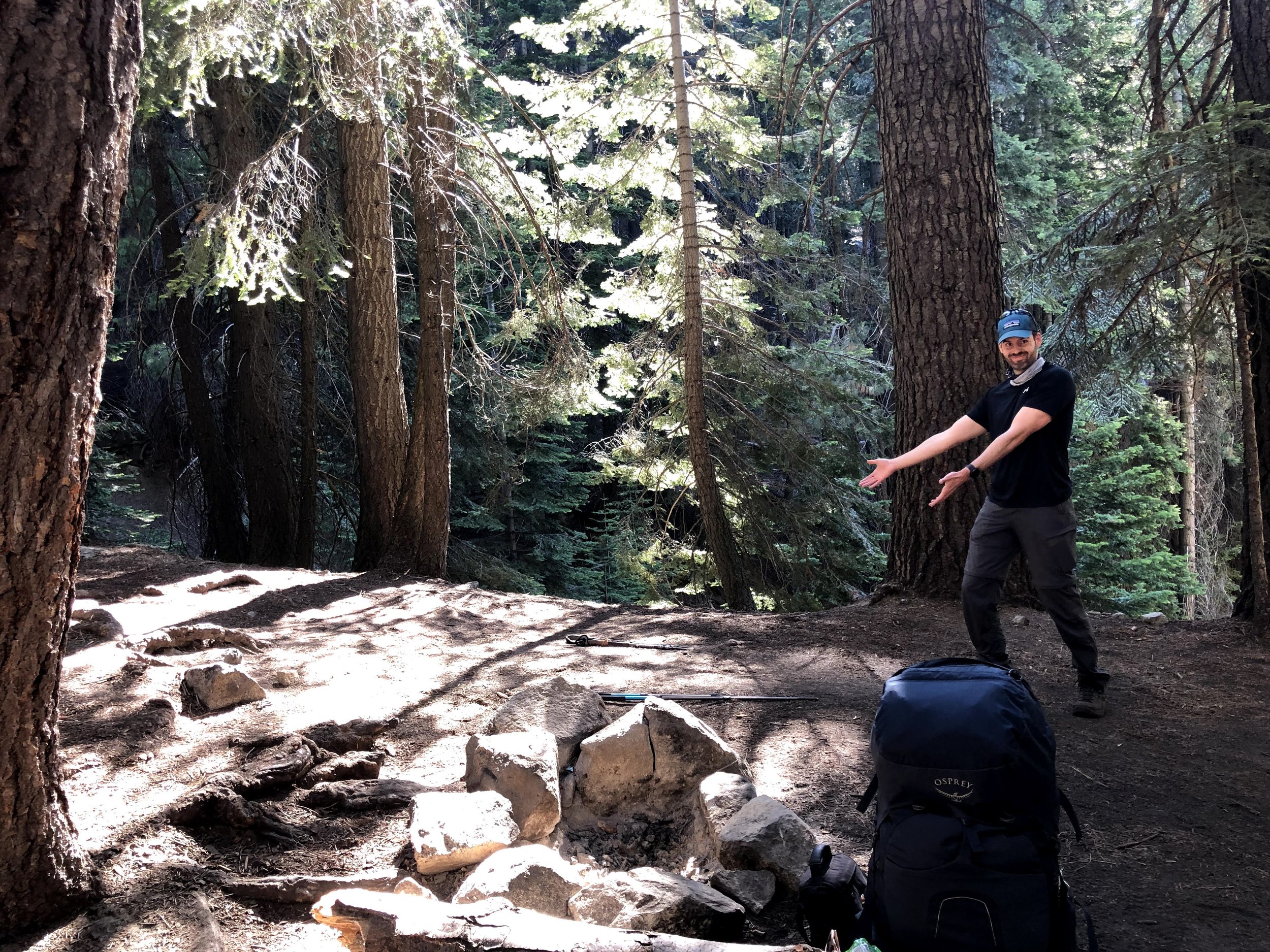
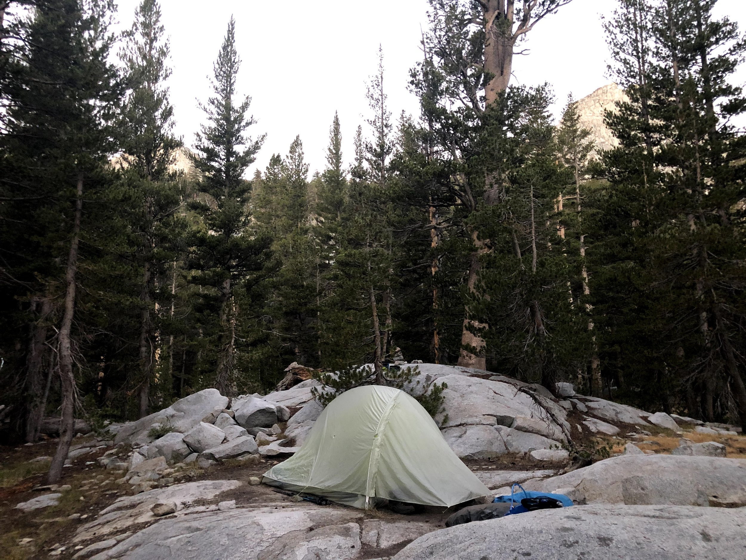
Big Arroyo Camp
Day 4: Big Arroyo to Kern Hot Springs
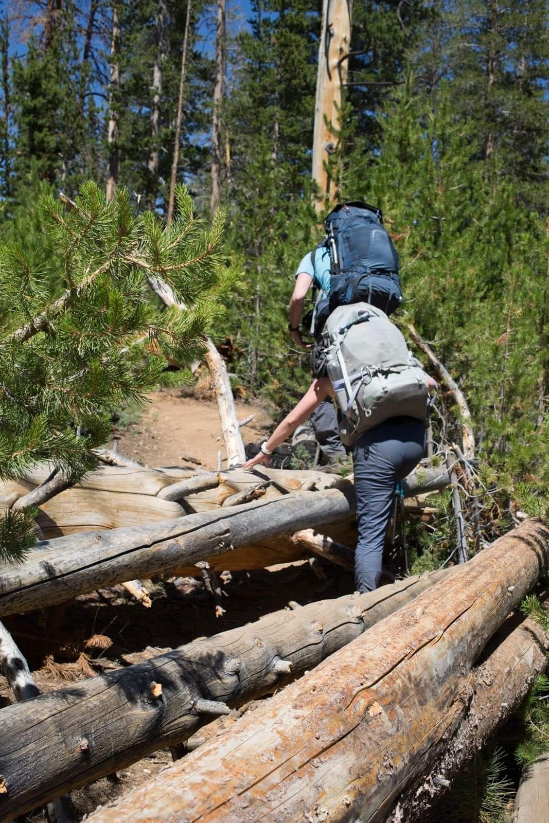
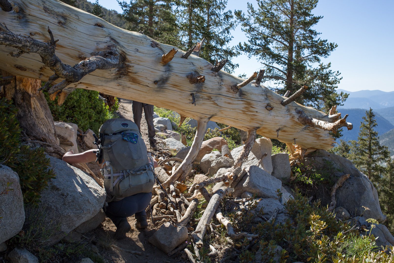
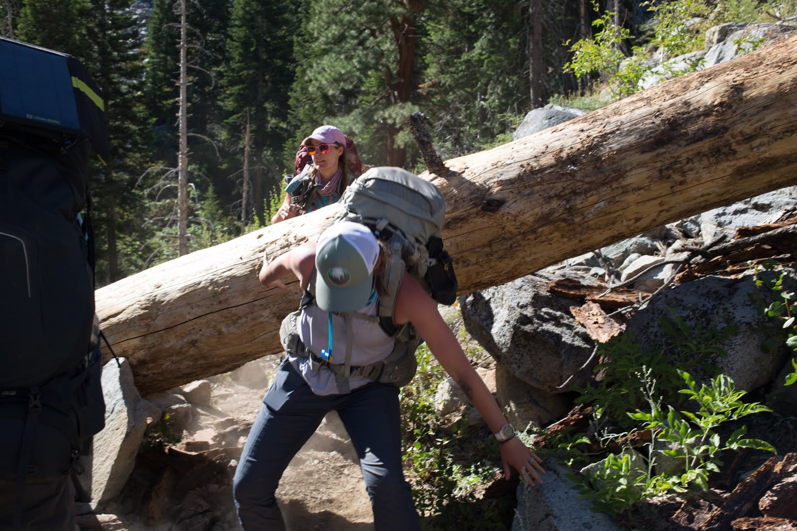
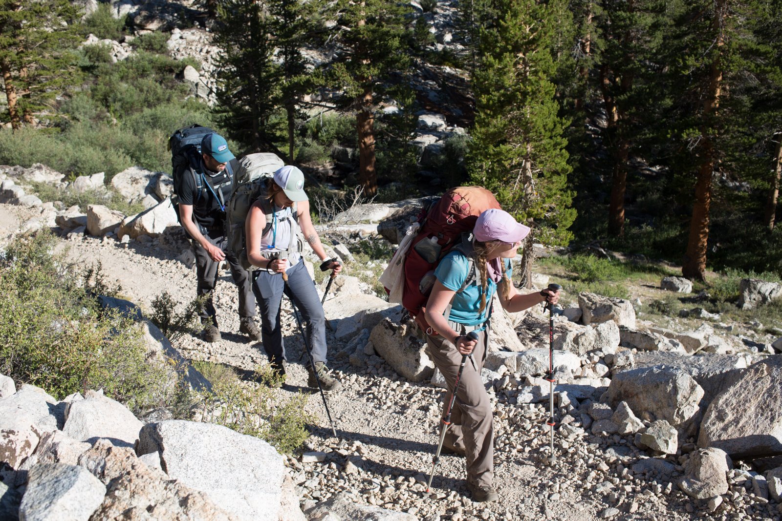
This ridiculously long day began with a 1,000' climb over the first three miles, thorough increasingly thinning trees. And then, we encountered the obstacles.
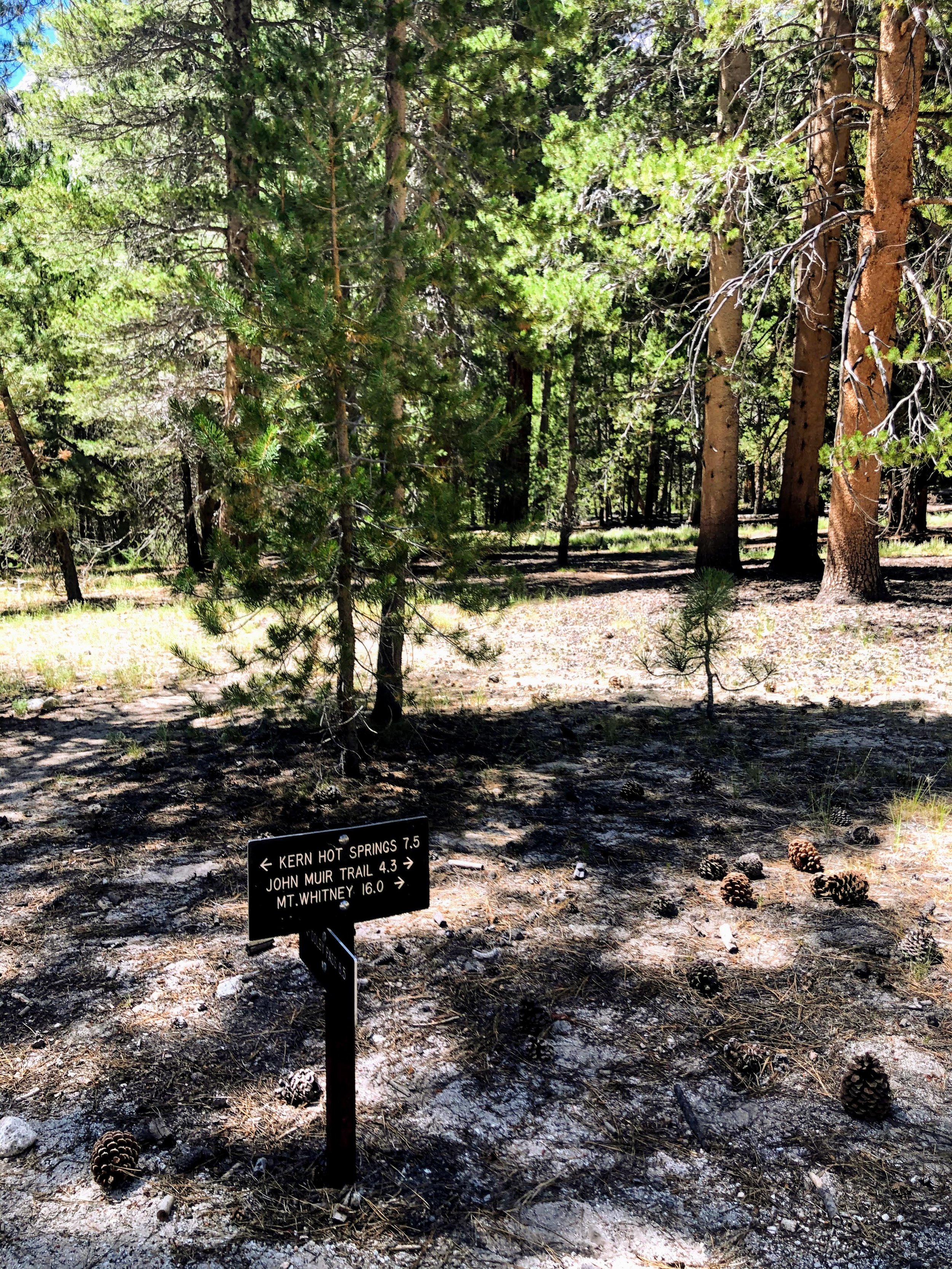
After the obstacle course came a brutal descent down into Kern River Canyon.
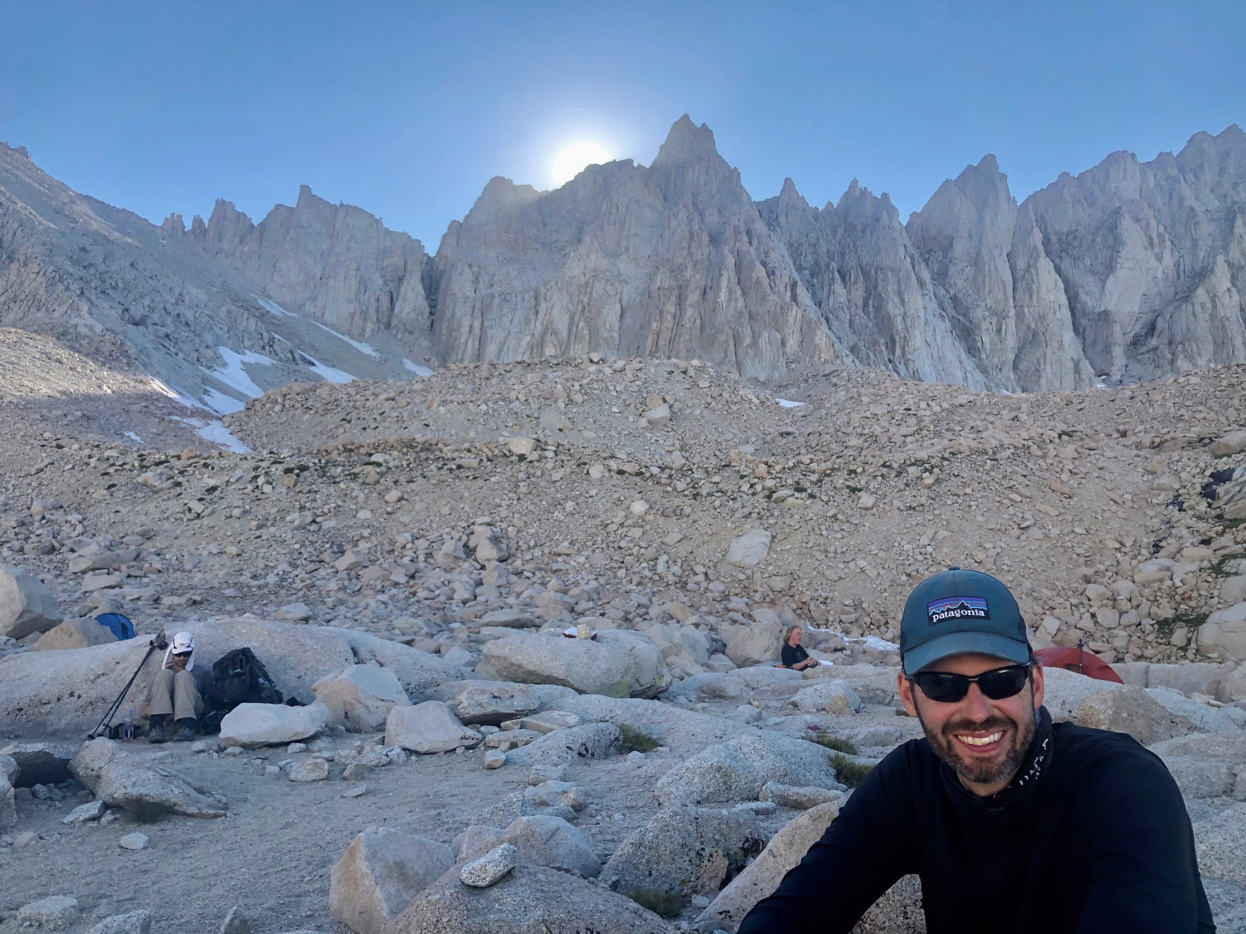
Day 5: Kern Hot Springs to Wallace Creek
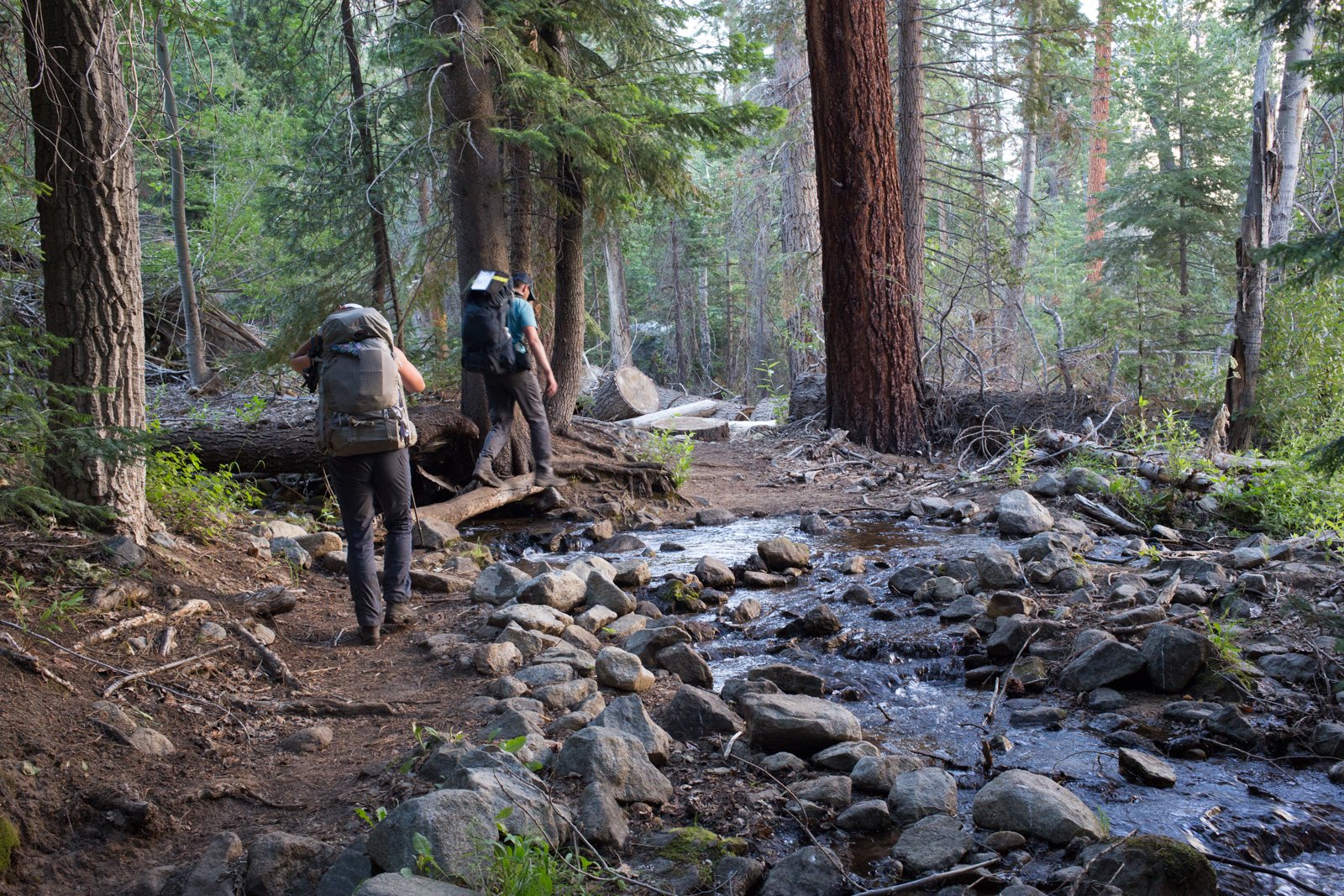
The trip out of Kern Canyon featured several water obstacles that my hiking buddy Jon captured in the pics below. After that last crossing, we flopped onto the bank, had some lunch, and started our climb up to Wallace Creek to junction with the JMT.

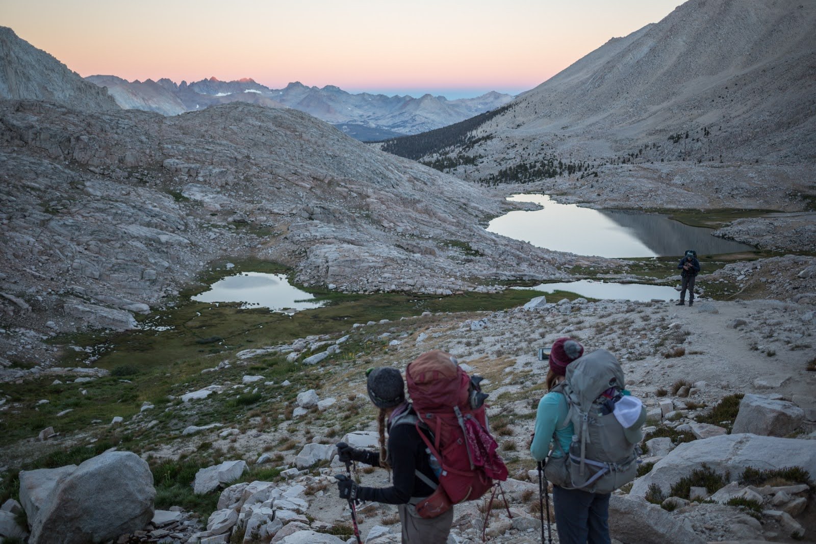
Day 6: Wallace Creek to Guitar Lake

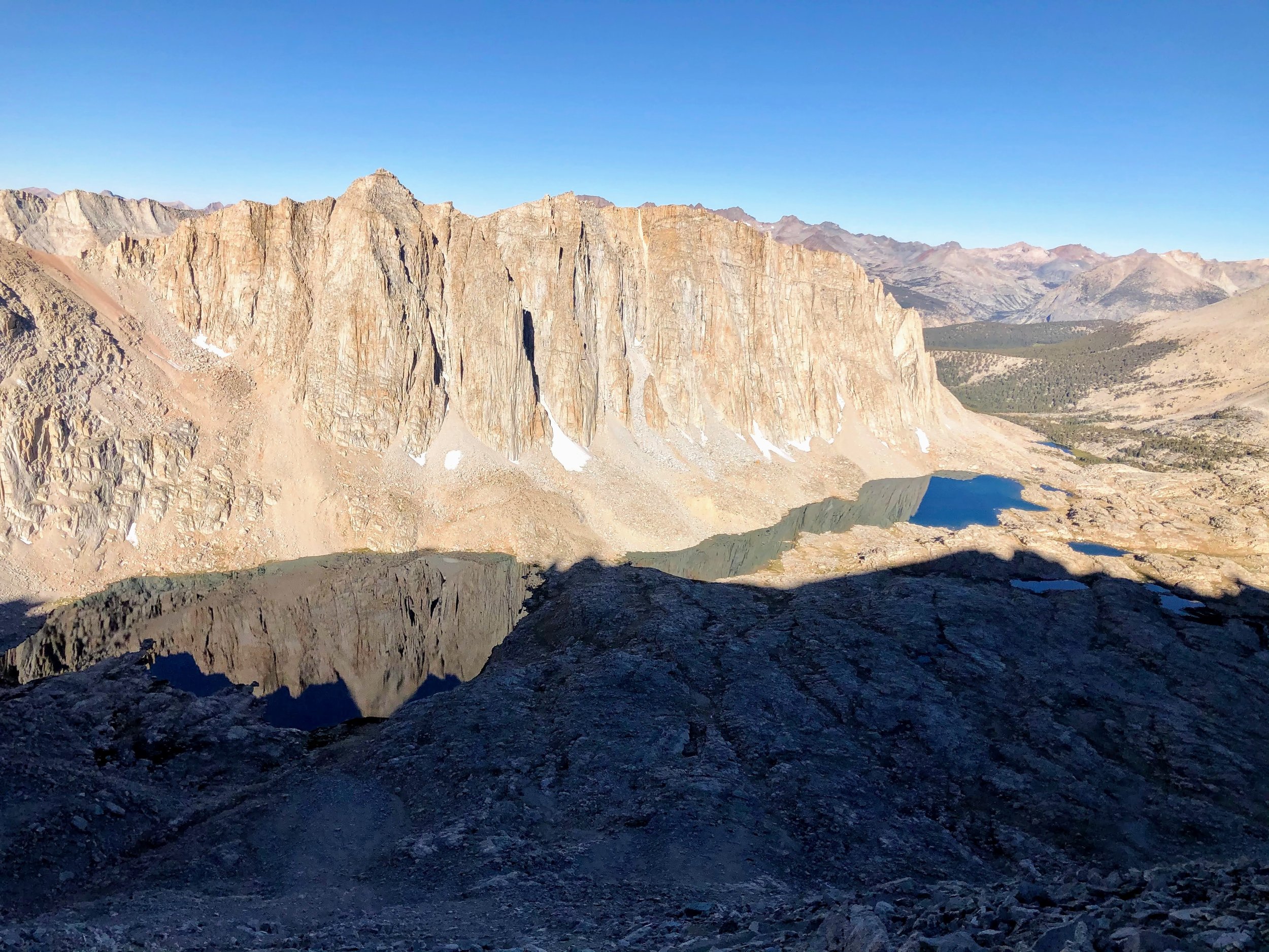
Guitar Lake
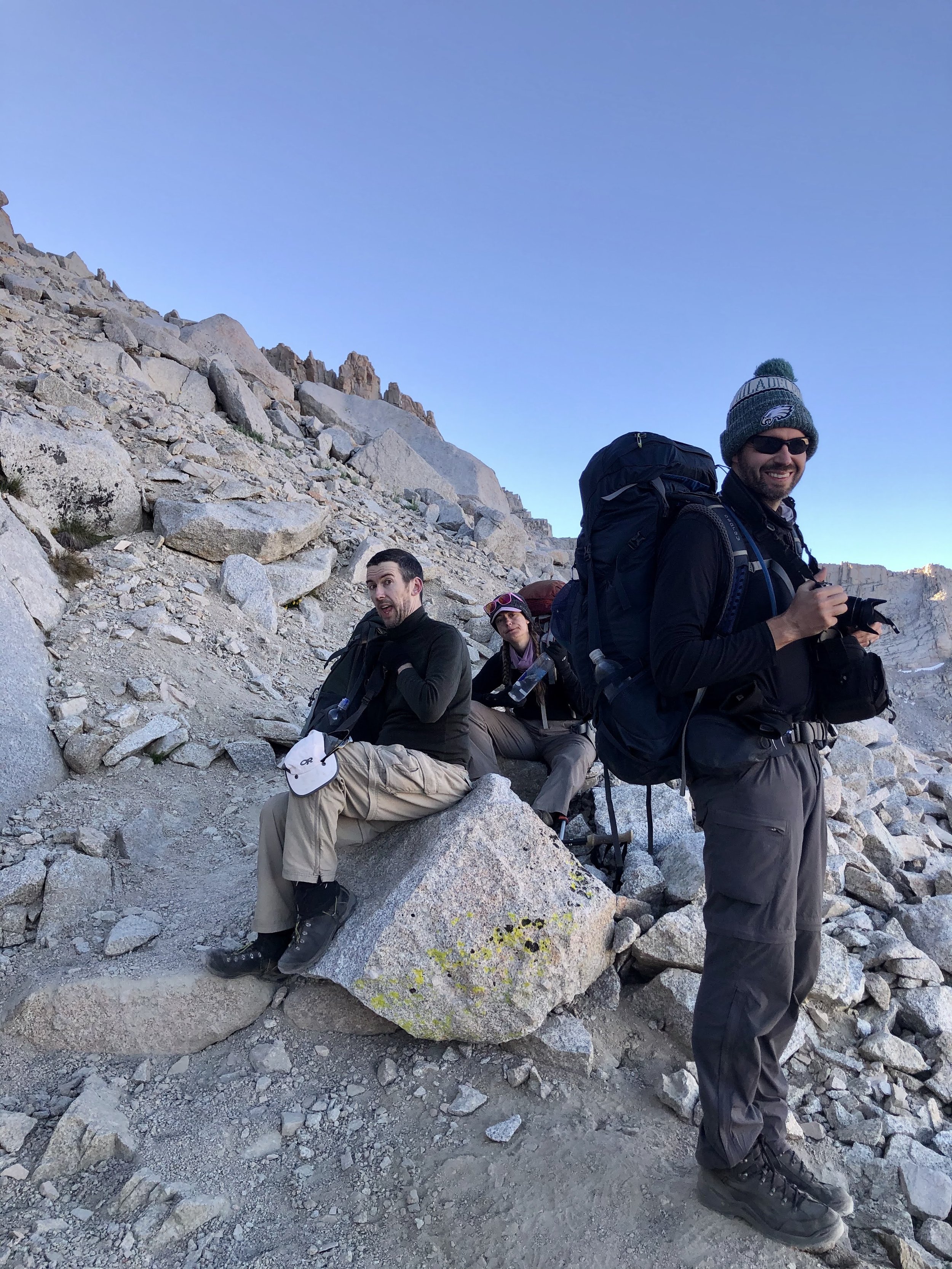
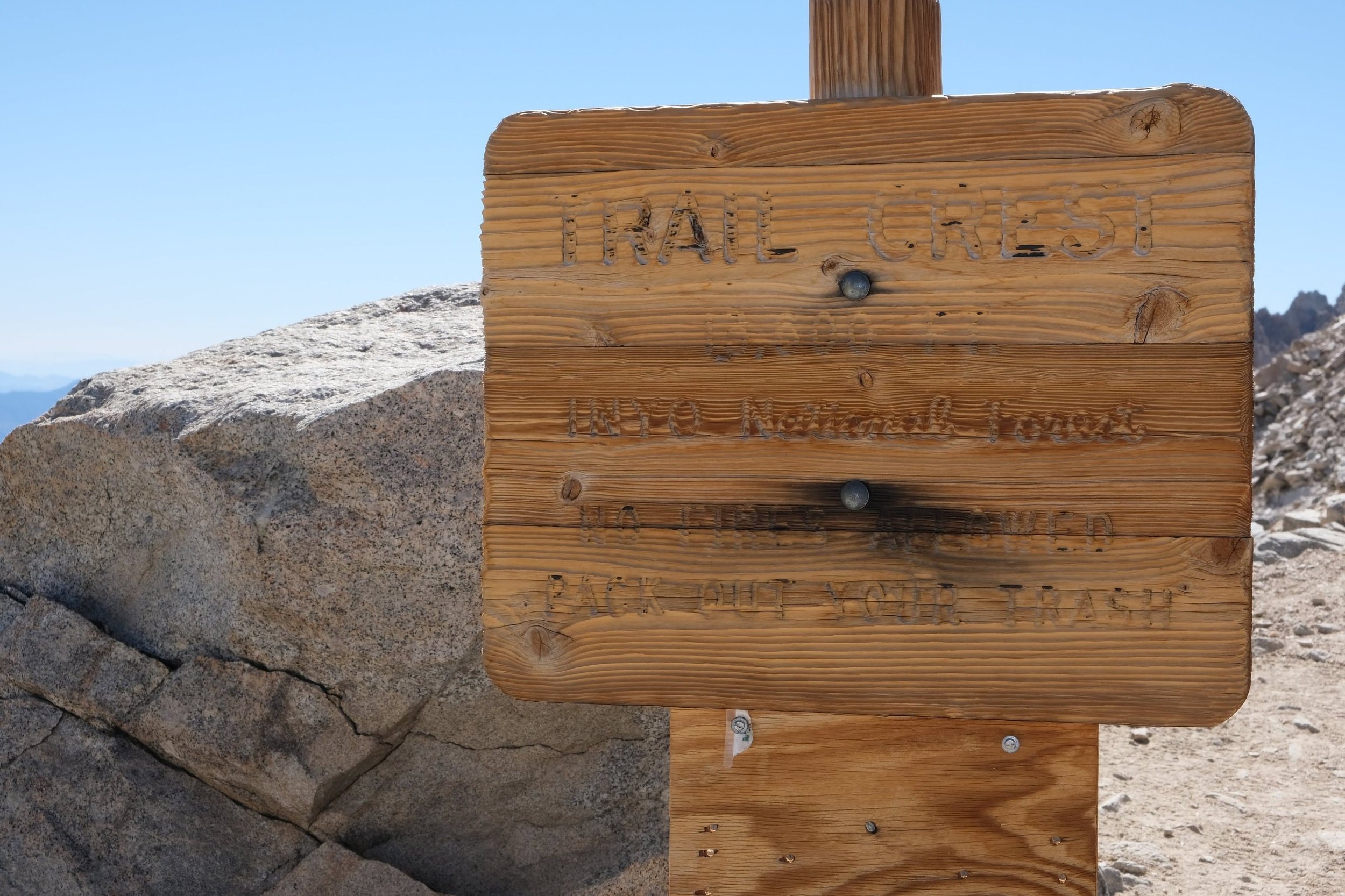
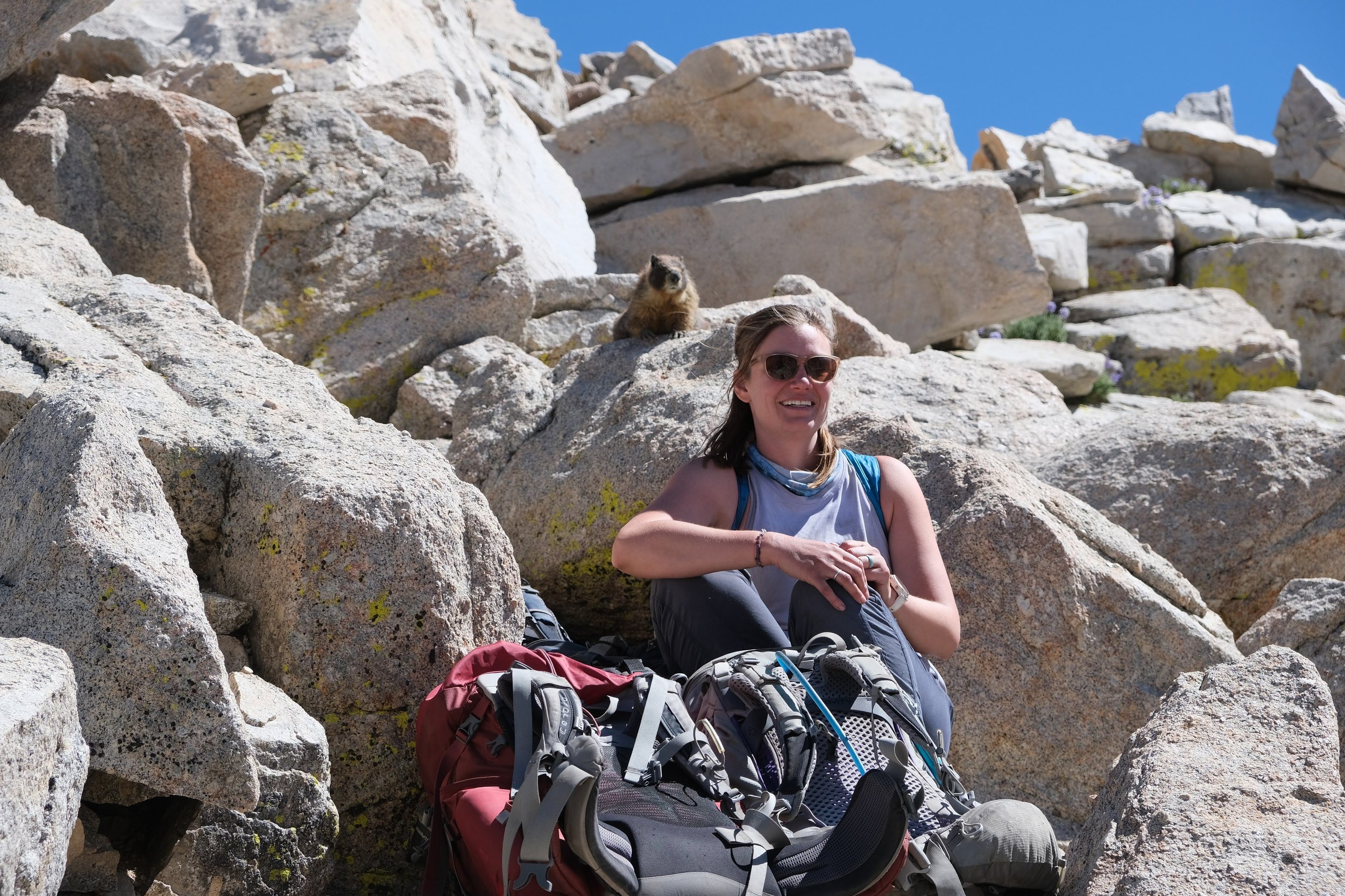
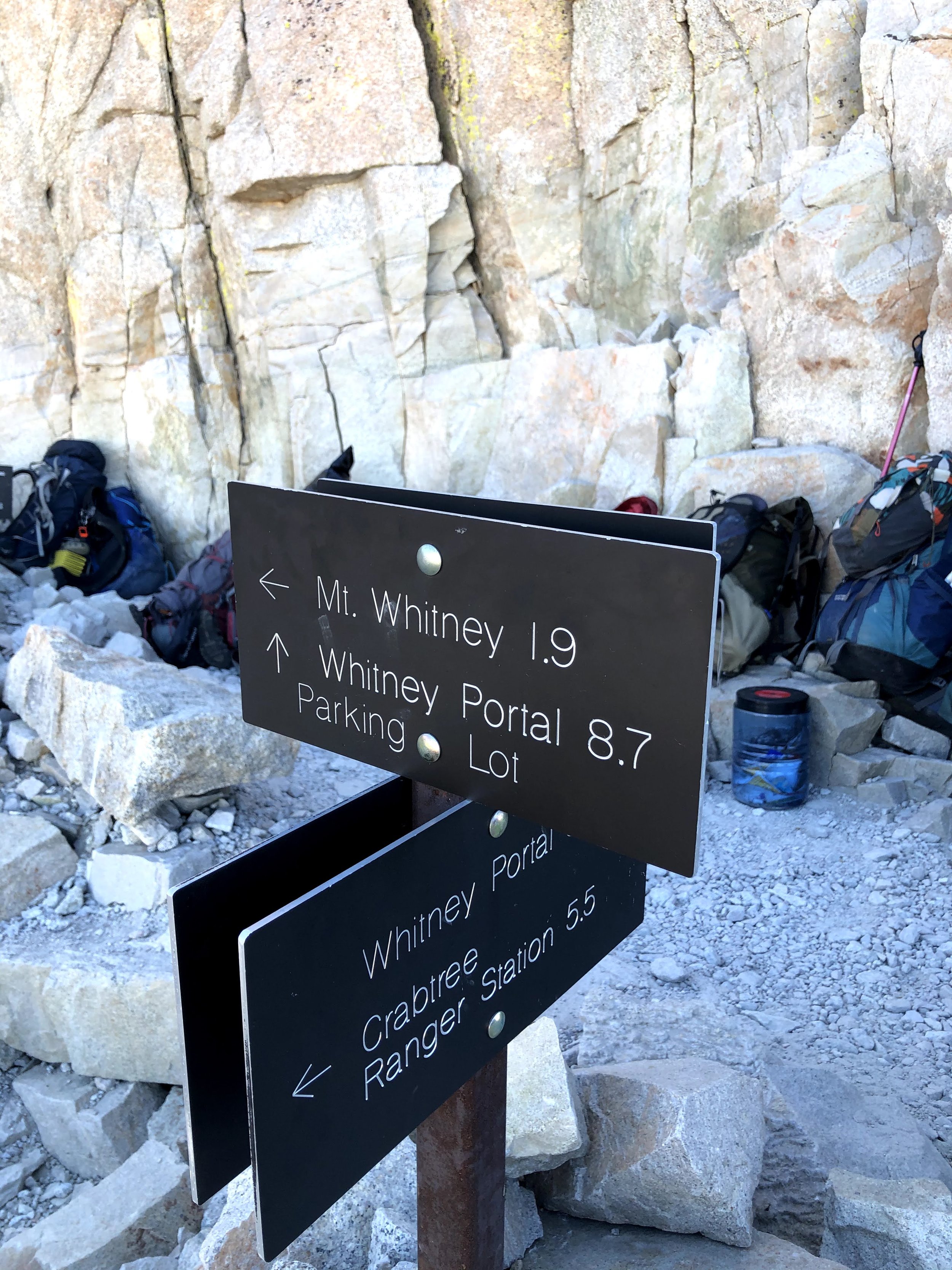
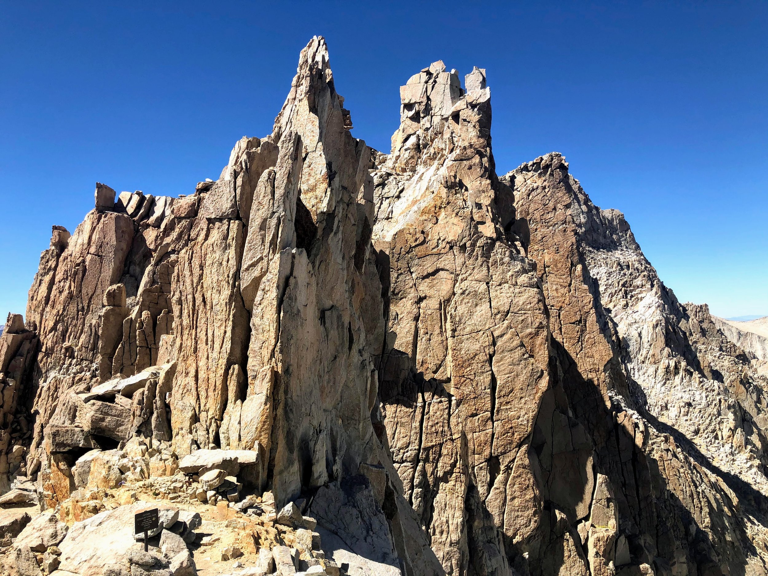
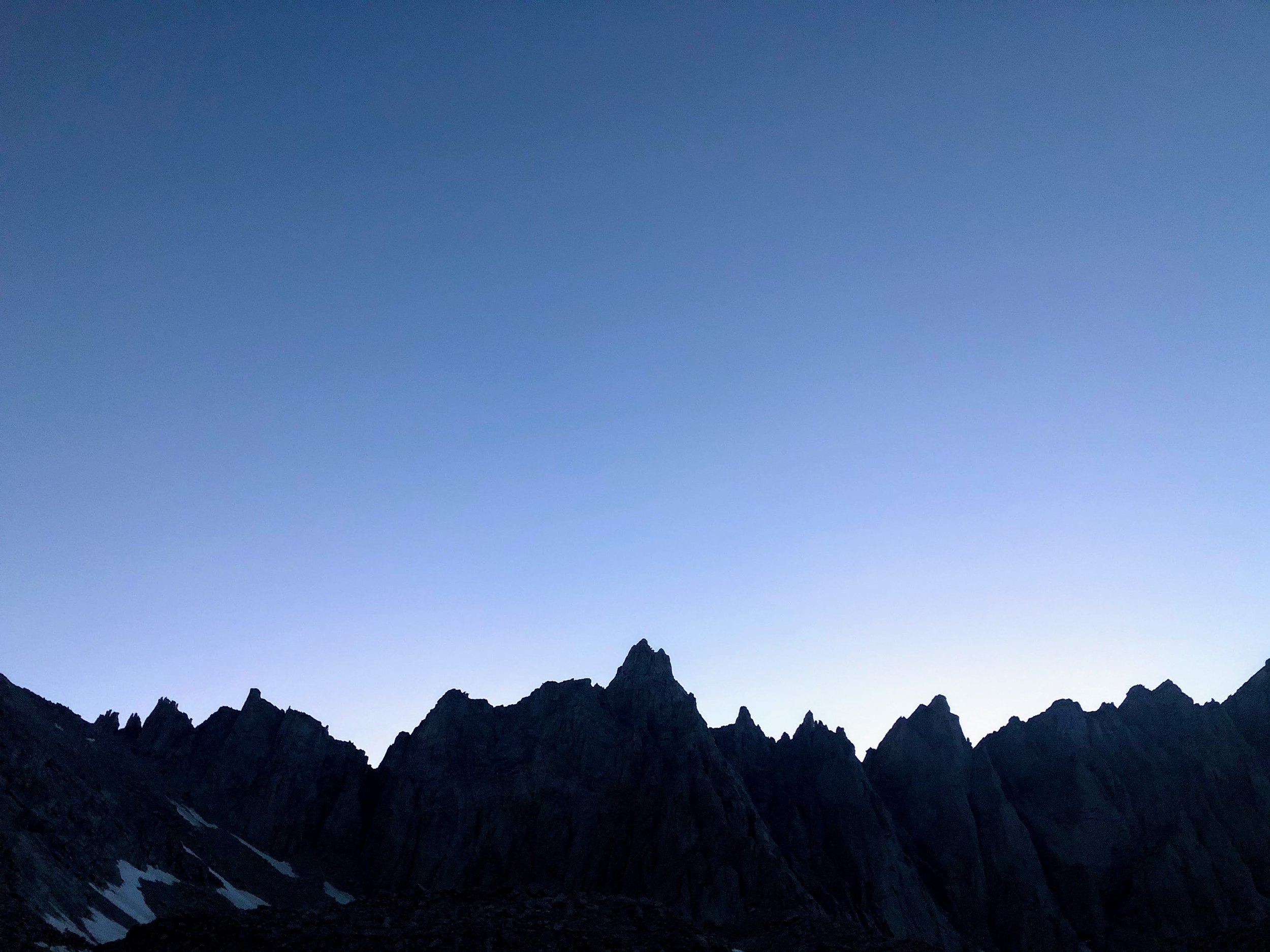
Day 7: Guitar Lake to Trail Camp via Mt. Whitney Summit